Bears Ears, Moab, Arches, Monticello, Blanding and Bluff, September 2022

The 2nd annual reunion trip with our friends from Paradise California happened the end of September 2022. Sixteen of our friends (8 couples) that got scattered to the wind in the wake of the Campfire Road Fire, November 8, 2018 in Paradise California where we lost our entire town of 27000 people and 83+ lives.

We dearly missed our friends the Taylors, now from Mesquite, Nevada who were serving a mission for the Church of Jesus Christ of Latter Day Saints in England. We (Denise and I) will likely take them on a repeat trip now that they have returned home, It was a sweet re-union, all are doing amazingly well. But we miss our community and more frequent interactions from the good days.

Blanding Bluff Utah

Monticello, Moab and Arches Utah

Blanding and Bluff Utah May 2022

Blanding Utah May 2022

After planning a trip and doing some research on a trip to this area of the controversial Bear’s Ears National Monument for my friends from Paradise. (that trip was scheduled for Sept 2022.) Good friends Mark and Terrie and Patty and Pete wanted to do the same trip. They arranged for others to joins us from Colorado, Richfield, St. George. So it was planned. The first night we were able to watch the eclipse of the moon. Viewed areas and sites around combs ridge and wash.

Blanding and Bluff Utah May 2022 Bear’s Ears National Monument

Glamis North Hot Springs Feb 2018

Glamis North Hot Springs RV park and area

Bat Caves, Oasis, Red Canyon, Pinnacles, Red Canyon Jeep Trail, Chiriaco Summit, Painted, Ladders and Ropes Canyon,  Amy’s cabin, Hotel California, Godwin trail and Palm Springs Tram up San Jacinto Mountain.

*****************************************

So we returned to the southern California desert with Mark and Terrie from SLC Utah, Ward and Lee Anne from New River AZ, Doug and Sandi and Lyle and Denise from Paradise CA.  After attending church in Brawley, we came back to watch the Super Bowl and hang out in the Hot Springs.

Watching the SuperBowl
Note the high tech Purple towel sunshade, the Eagles could not have won without our support

Mark in HotSpring
Hot Springs Soak

(For more in-depth see links to Glamis North Hot Springs Feb 2017 and  Glamis and Glamis Hot Springs Feb 2016)

Click here to watch VIDEO of the rides in this area.  ATV and RZR riding in the Glamis North Hot Springs area with friends

Group at Bat Caves
Doug, Sandi, Mark, Lee Anne, Denise, Lyle and Ward at the Bat Caves.  Terrie is the photographer.

Terri BatCave

Terrie Top of Bat Caves Salton Sea
Terrie on top of Bat Cave/San Andreas Fault and Salton Sea.

Mark Terrie Oasis
Terrie and Mark at the Oasis

The big loop

Next we rode the Godwin Trail to where it connects to the Meccacopia Trail.  Then we found the Hotel California then onto the George Patton Desert Museum at Chiriaco summit, petrol  and returned via Red Canyon Jeep trail, probably 90+ miles.

Godwin Trail Overlook
Top of Godwin trail where it joins the Meccacopia trail.

LeeAnne Ward Doug Sandi Hotel Calif
Lee Anne Ward, Doug Sandi at Hotel California

Mark Terrie Hotel California
Mark and Terrie having lunch on the Patio

Gang at Hotel Calif.jpeg
“Welcome to the Hotel California, You can check out any time you like but you can never leave!”

Hotel CA and Monkey

Goodyear Blimp Chiriaco summit
Goodyear Blimp just happened to be flying over Chiriaco Summit when we arrived.  Perhaps returning from the Super Bowl.

Patton Museum

Doug and Lyle and George Patton Desert Museum Statue

Pinnacles
Pinnacles Canyon

Sadly, Mark and Terrie and Lee Anne and Ward had to leave.

Palm Springs & San Jacinto Tram, up Chino Canyon to 8600 feet.

The next day we drove into Palm Springs to ride the tram and do some hiking.  We met Doug and Sandi’s grandson Zak later that night and brought him back to camp.

Lyle Denise Sandi Doug Tram Overlook
We embarked on a two mile, 5 “portal” hike at the top of the tram.

Lyle Denise Tram overlookPalm Springs Tram OverlookPalm Springs Tram Overlook2Doug Sandi Palm Springs Tram OverlookPalm Springs Tram Overlook4Palm Springs Tram Overlook3

Denise Sand Doug top of PalmSpring Tram
Dinner at the Top of San Jacinto

Palm Spring at Night
Palm Springs at night from the Tram, tower on left being lit up by the tram as we passed.

Ropes and Ladders

The Next day, Sandi, Doug, Zak, Denise and Lyle went to Painted canyon.  We had done the Painted canyon and “Ladders” slot canyon hike last year (Glamis North Hot Springs Feb 2017) but did not attempt the “ROPES” slot canyon.  It was decided to check it out this year.  This year we hiked up “ROPES” slot canyon then back down “Ladders” canyon.  It was very good that we had ZAK along to help the old farts.

Denise Sandi Zak Doug Ropes 2018
Denise, Sandi, Zak and Doug at the beginning of “Ropes” slot canyon

Denise Zak Ropes 2018
Denise and Zak, multiple levels in this canyon

Denise, Sandi Doug Ropes 2 2018
Denise, Sandi and Doug, multiple levels with Ropes in background

Denise Sandi Doug Ropes 2018
Denise, Sandi and Doug with Zak 1/2 way up the cliff in shadows

Denise Ropes 2018
Denise climbing and Sandi encouraging

Sandi Zak Ropes 2018
Sandi climbing with Zak encouraging

Lyle Doug Ropes 2018
Waiting for our turn on the ropes

Zak Ropes2 2018
Zak on Last Climb out

Zak Ropes 2018
Almost out.  He kept telling us he did not think we could make it.

Ropes Canyon2018

Ladders 2018
Ladder at the bottom to climb down the final drop.

EntranceLadder Canyon
Entrance to Ladders Canyon

Doug and Zak and I rode up Bradshaw wash to show Zak the train trestle then up Amy’s wash to Amy’s cabin.  Did some shooting and then back over Red Canyon to Chiriaco summit, then down the Meccacopia trail onto the Godwin Trail then to the canal and back.

Tracks

Railroad Trestle
Eagle Mountain Railroad Trestle

Doug and Zak Train Tracks

Doug and Zak Tressle 2018
Doug and Zak, Bradshaw wash, Eagle Mountain Railroad and trestle.

Doug Amys Cabin 2018
Amy’s Cabin and Mine

Zak and Doug Amys Cabin 2018

Mina Nevada May 2017

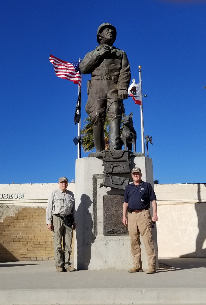
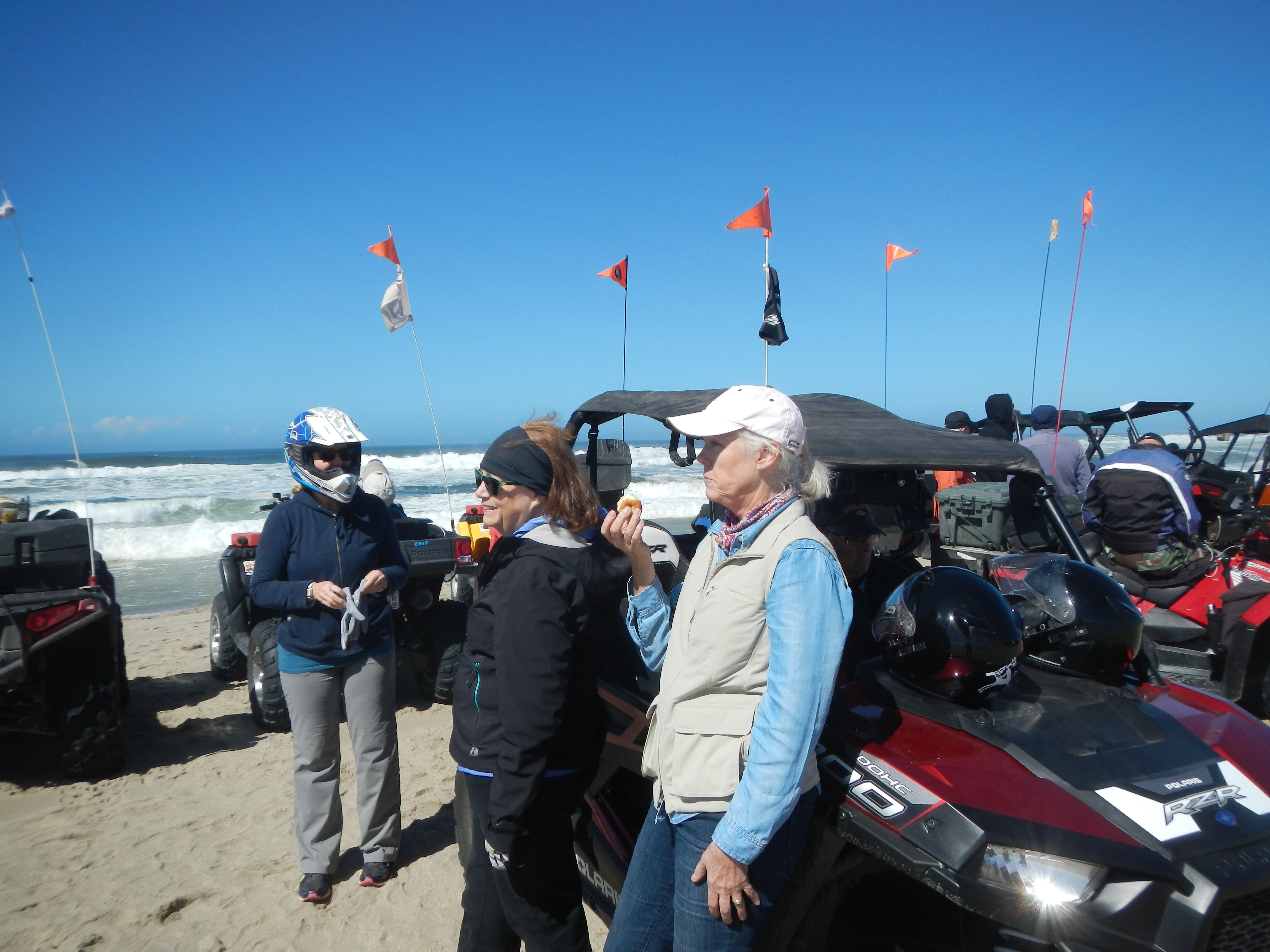
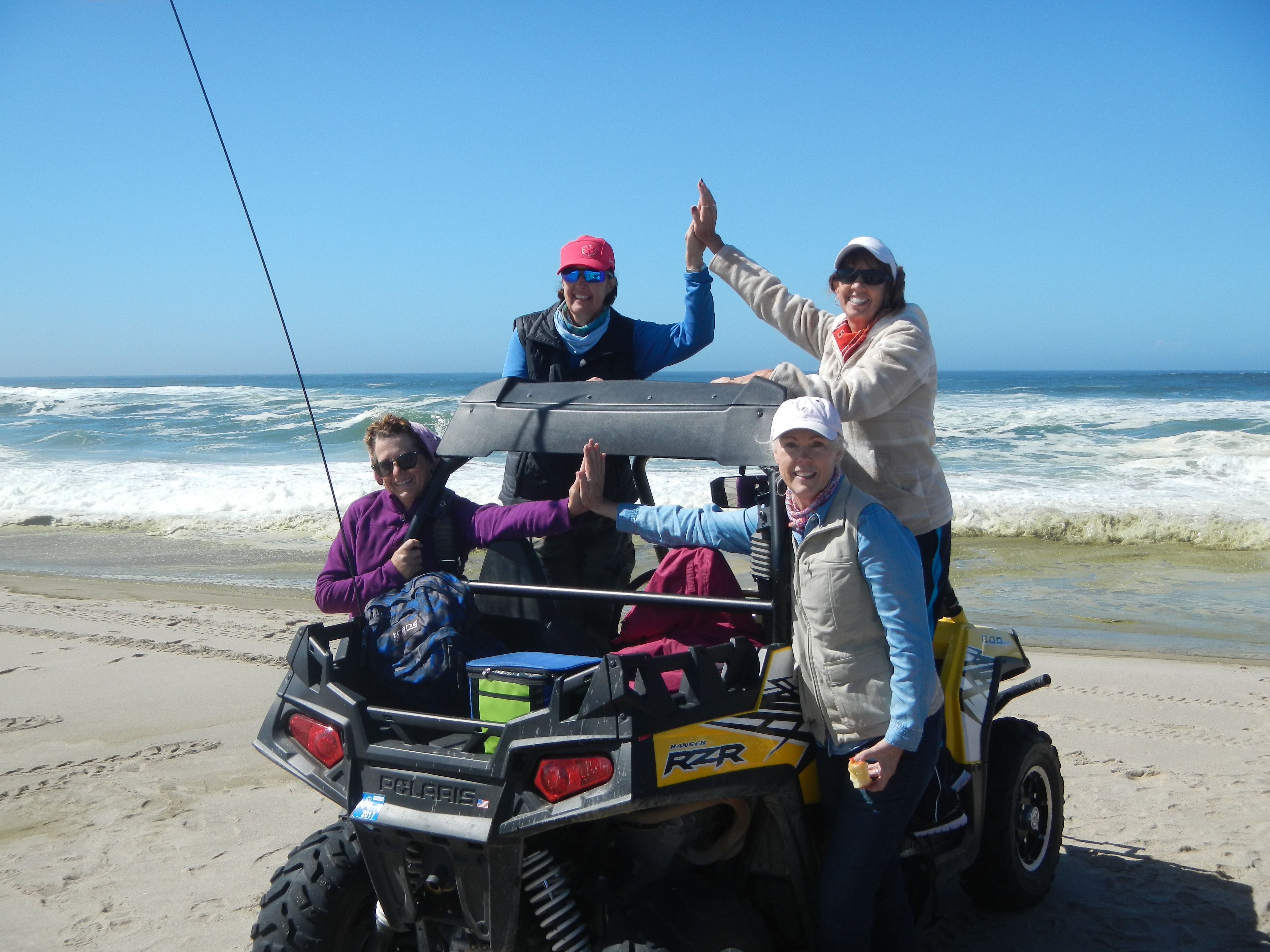
Mina Nevada Re-Visited May 2017

We made a return trip to Mina Nevada (see link to prior trip to Mina Nevada May 2010 on this list).  This trip was with Doug A, Drew and Cindy S, Robert D, Bruce L, Gary M and Jim W.   We had planned this trip to Mina before Drew and Cindy left on their LDS mission to Texas so I was fun to see them again.

If you have ever driven thru Mina Nevada you might ask why here or why even stop. Unfortunately the town is slowly going away.  The prior Country store, gas station, motel and restaurant  are closed.  There is a new burger joint that is open, run by a little woman who makes great food.  Check it out if you are ever in the area of Mina.  It is not FAST FOOD, it is GOOD FOOD as she advertises and she has nailed it, especially after 100 miles of dirt roads and trails.

We stayed at the Sunrise RV Park on the south end of Mina.  It is nice, well maintained, a bargain.  The operator will sell gas to registered guests only.  Pricey but cheaper than returning to Hawthorne to get Gas.  So bring plenty.

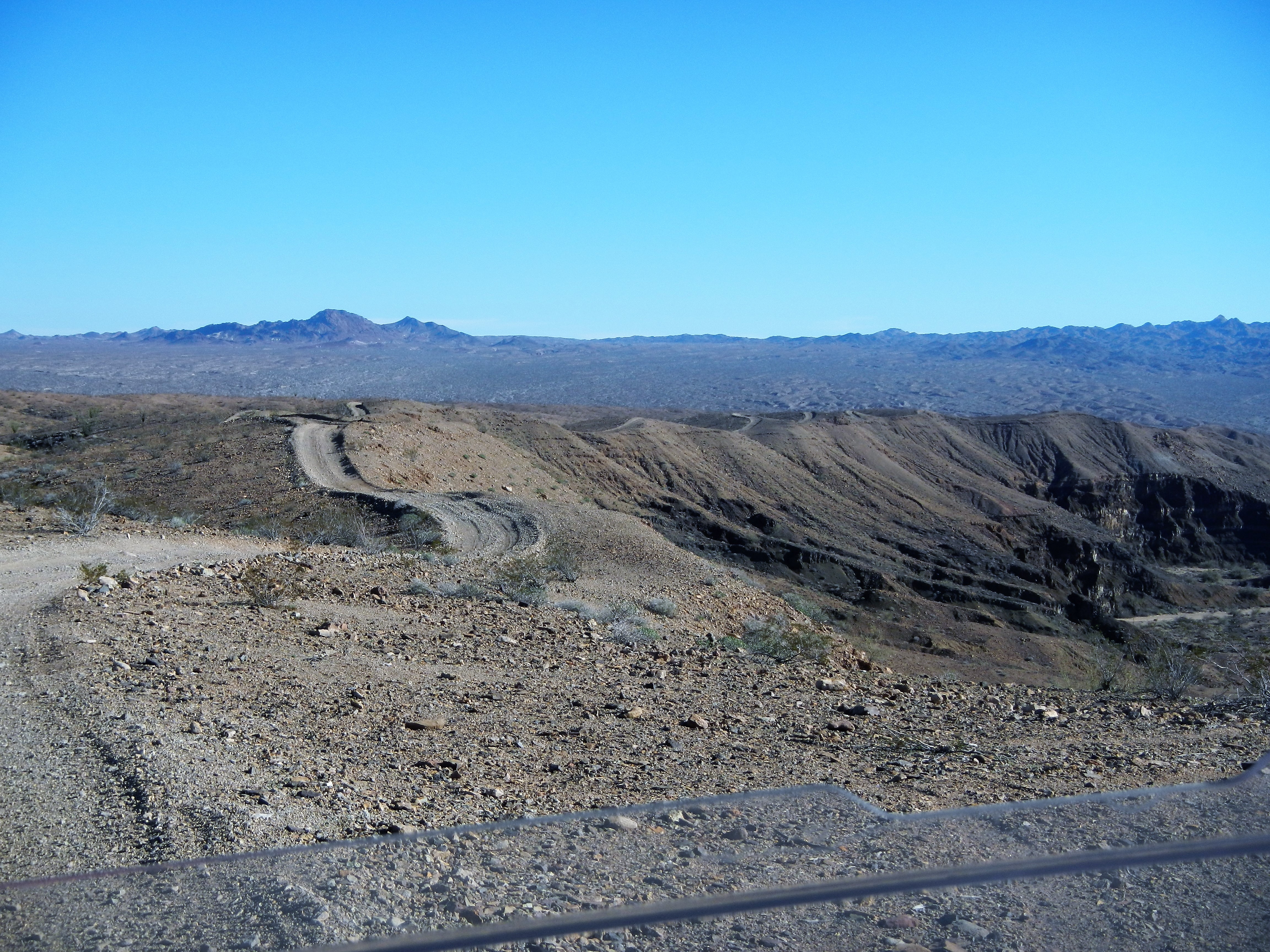
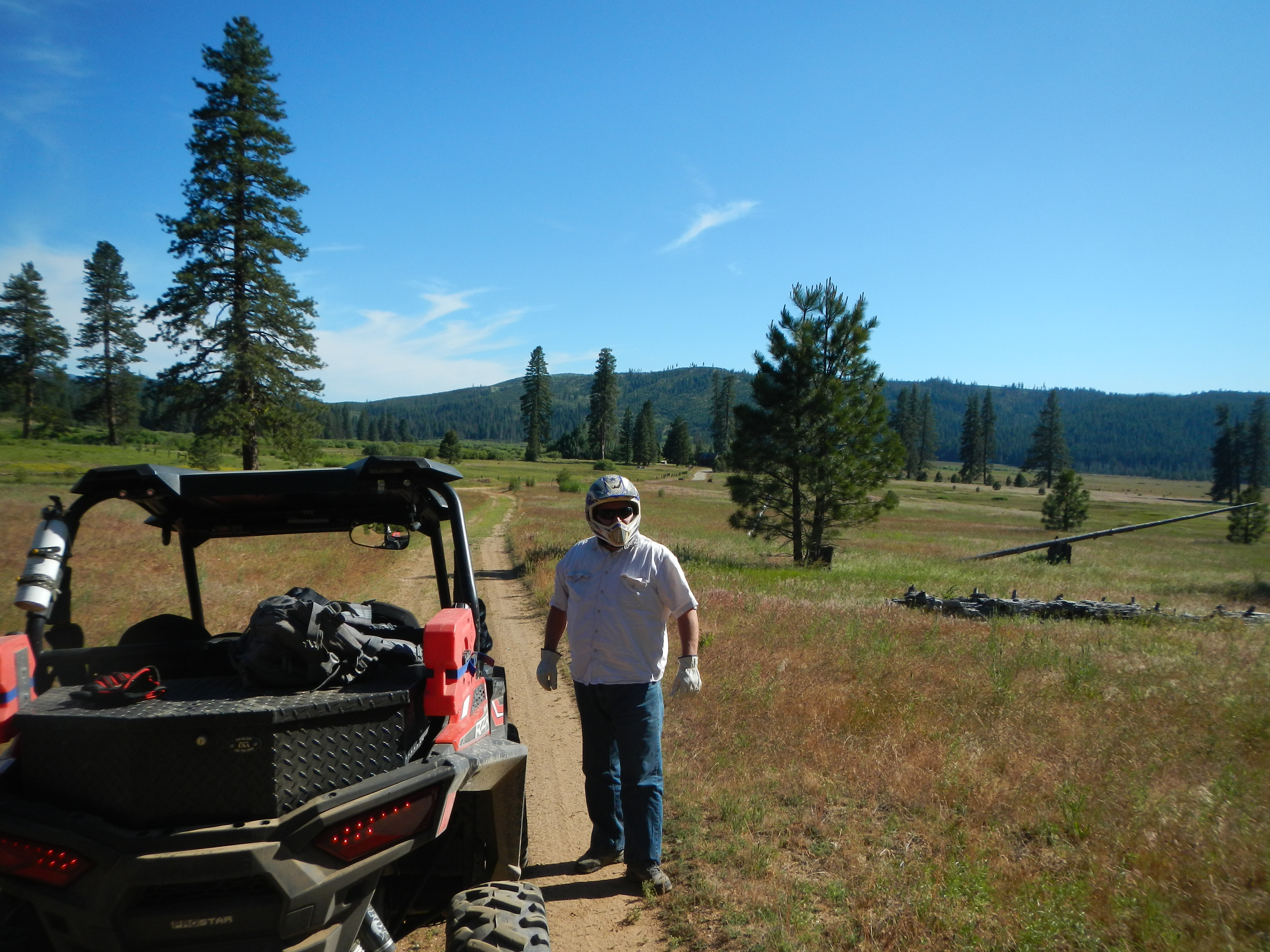
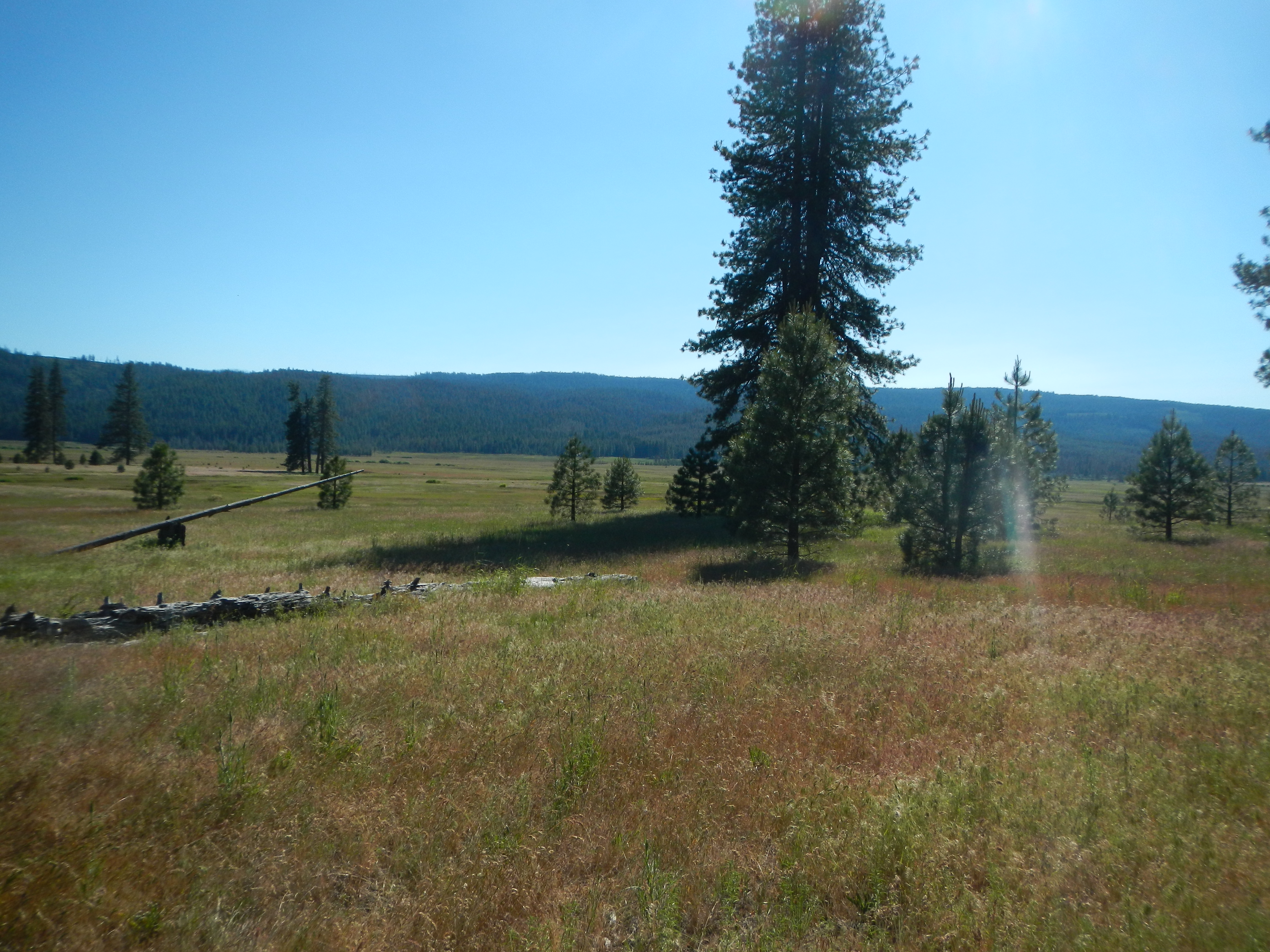
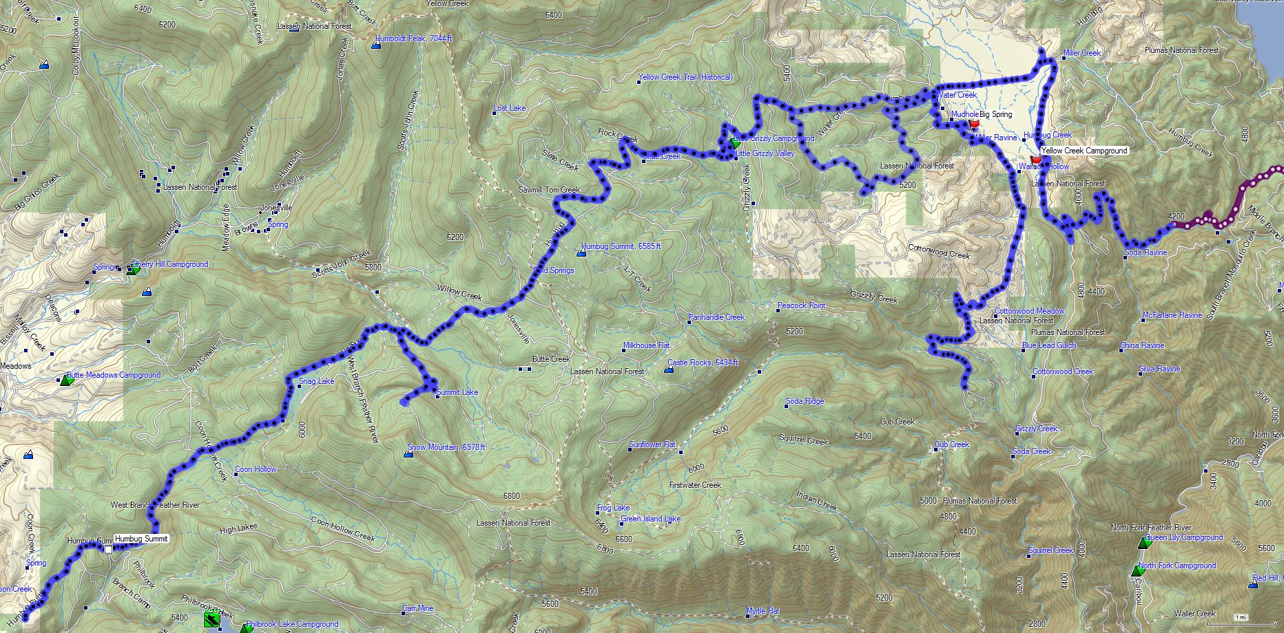
There over 1100 miles of open roads and trails and lots of mine relics and remains to view.  They deteriorate slowly due to low rainfall and dry conditions but they are slowly going away.  We explored a few new sites on the East side of 95, logging 92.4 miles and the next day explored the West side, almost 100 miles.

Mina 2017 Overview

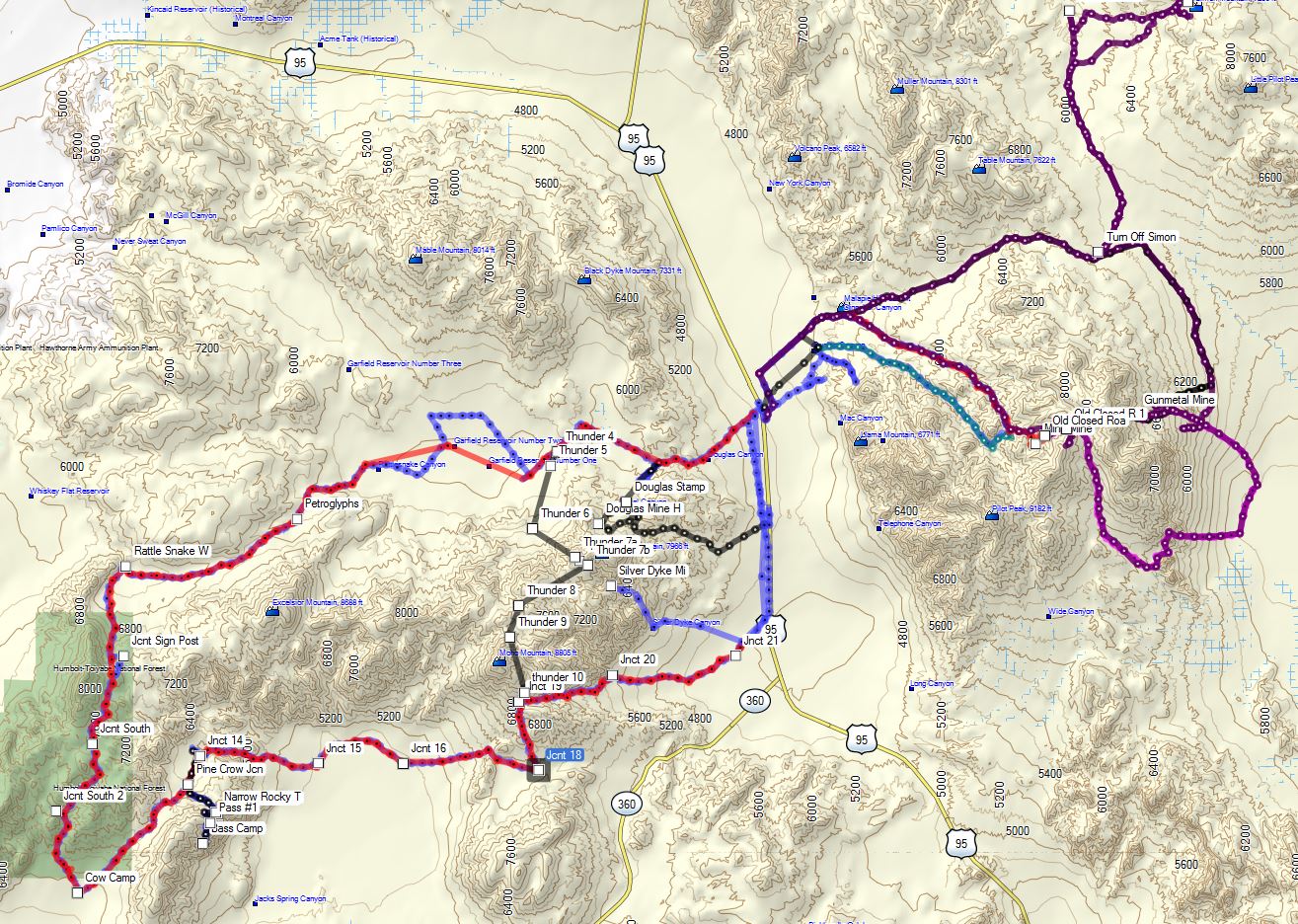
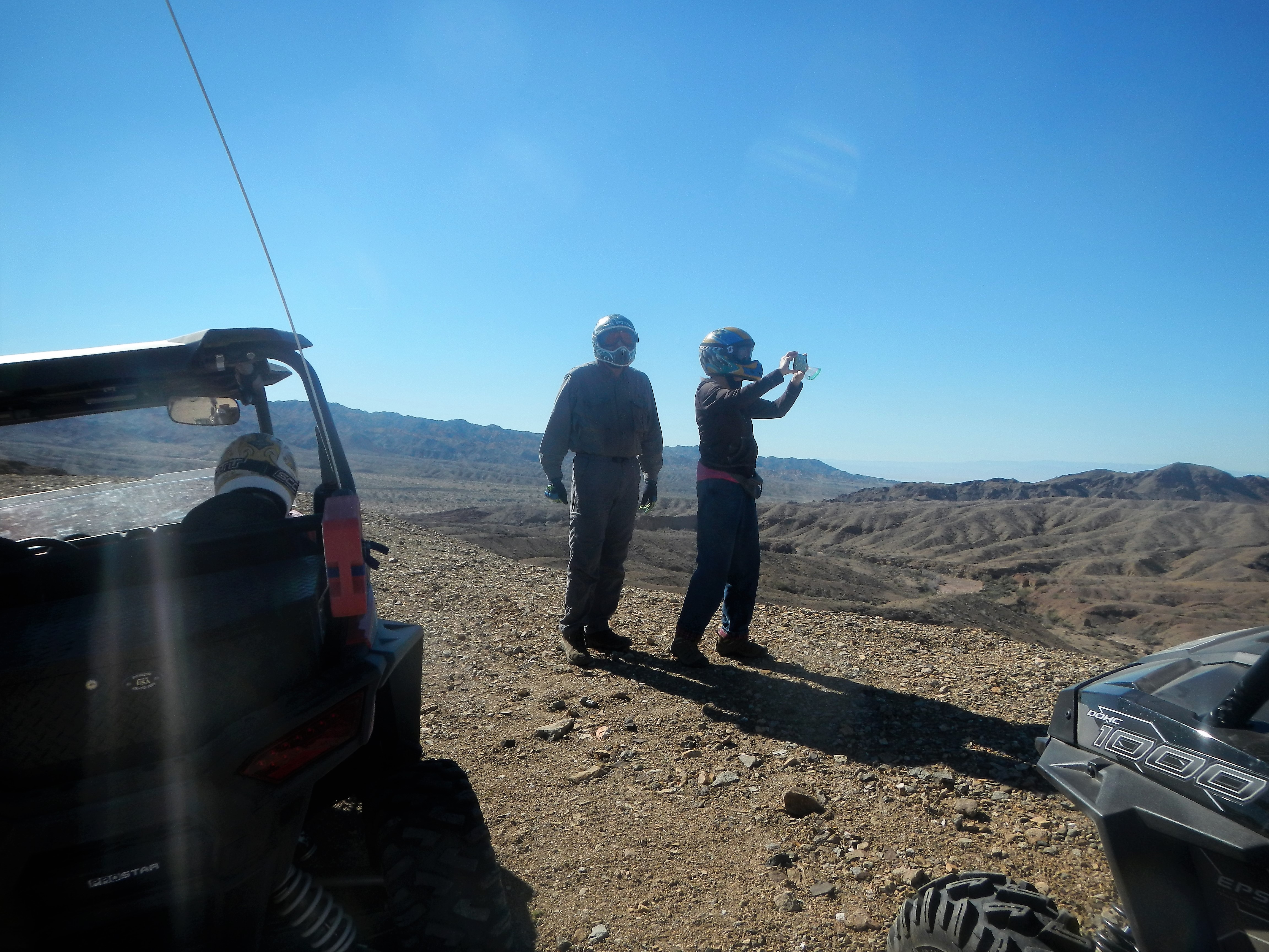
Having previously explored some of the East Side of Mina I had some basic knowledge of the layout.  However, in 7 years some roads have closed and new ones have opened.  I found this sign was very helpful.

This Way That Way 1

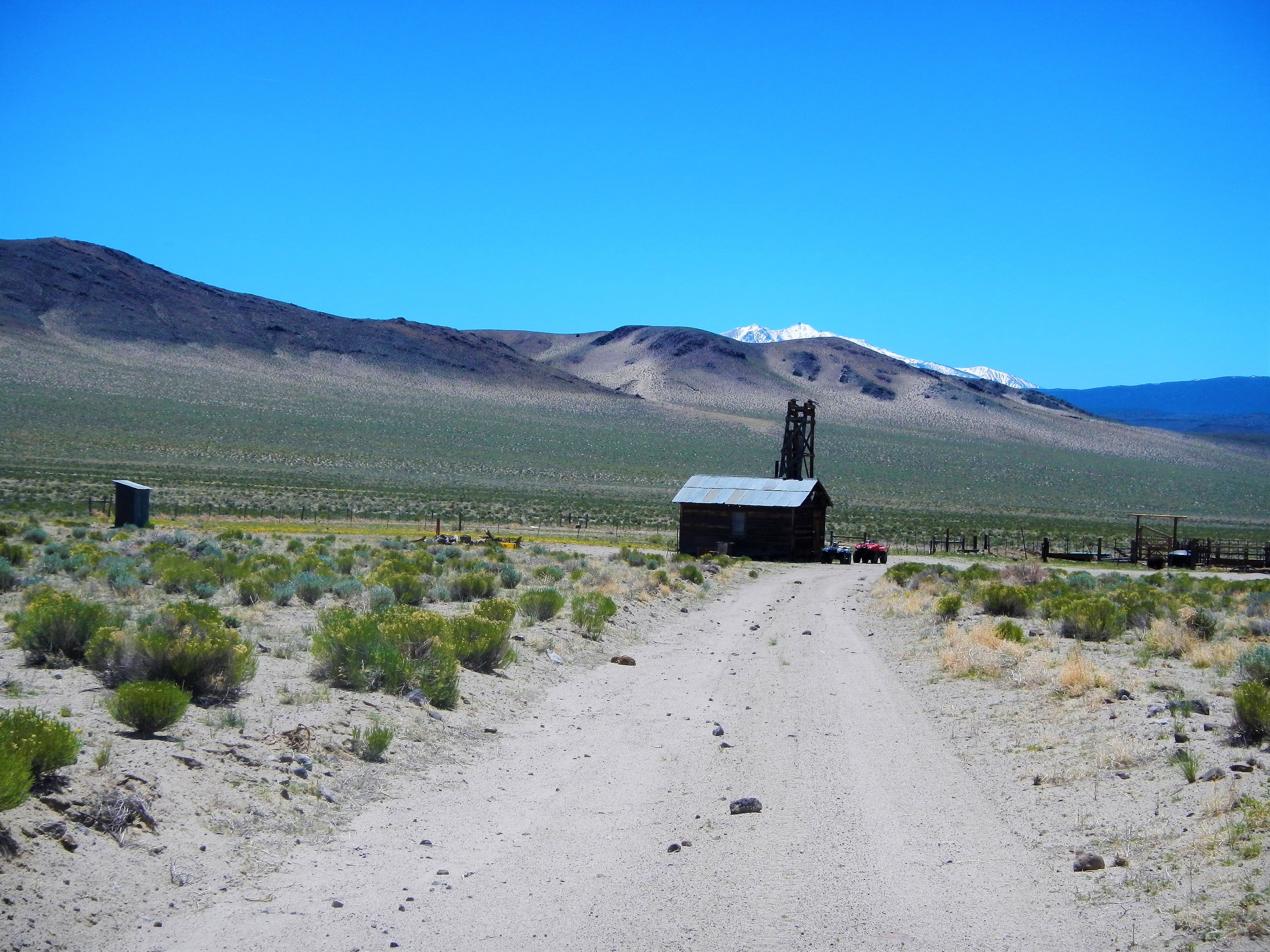
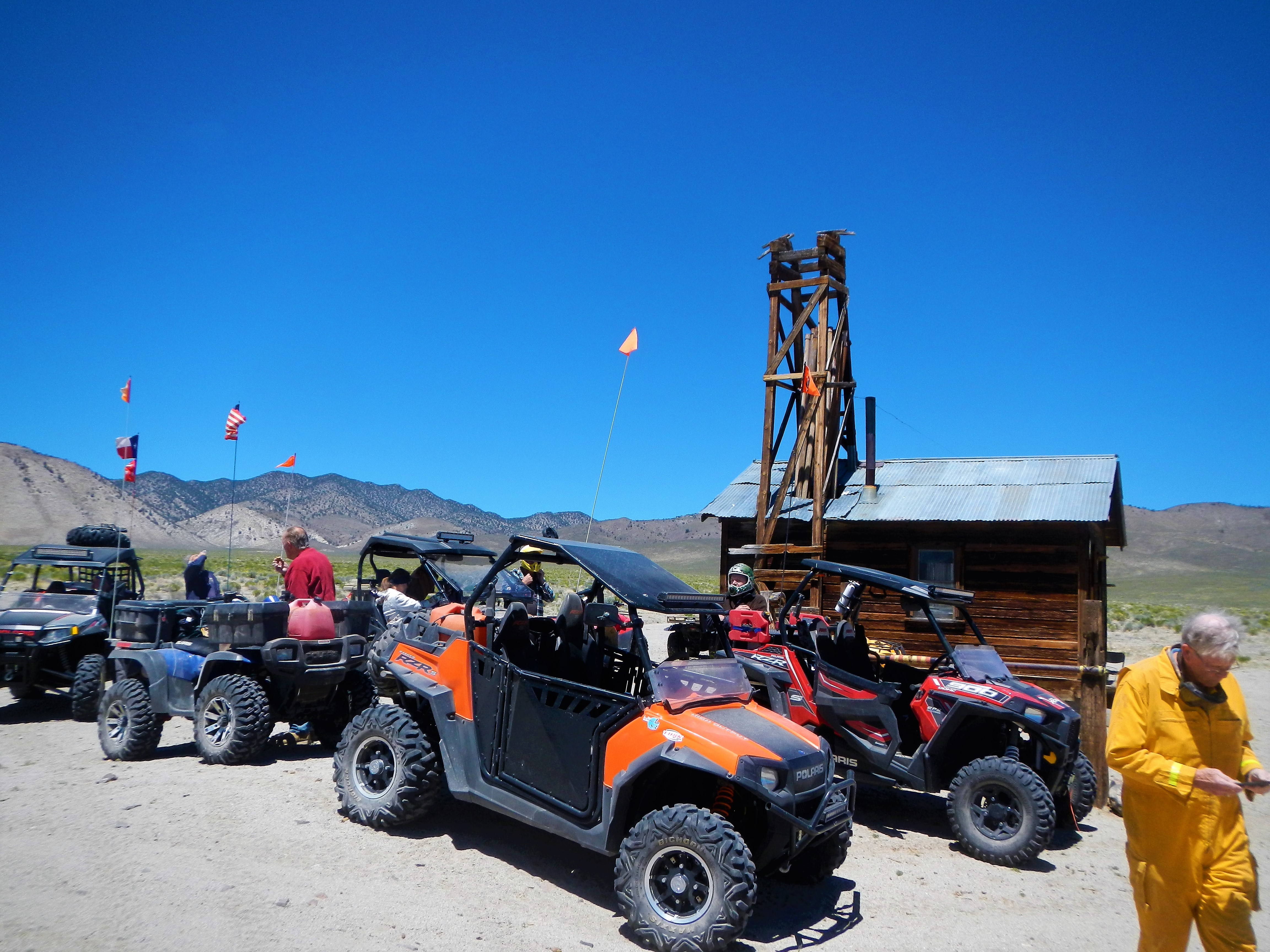
Thursday Day #1.  Very cold and Windy we headed to the Simon-Lead mine.  History of this area states that it was a Silver and Lead and some Zinc mine.

Simon Lead Mine

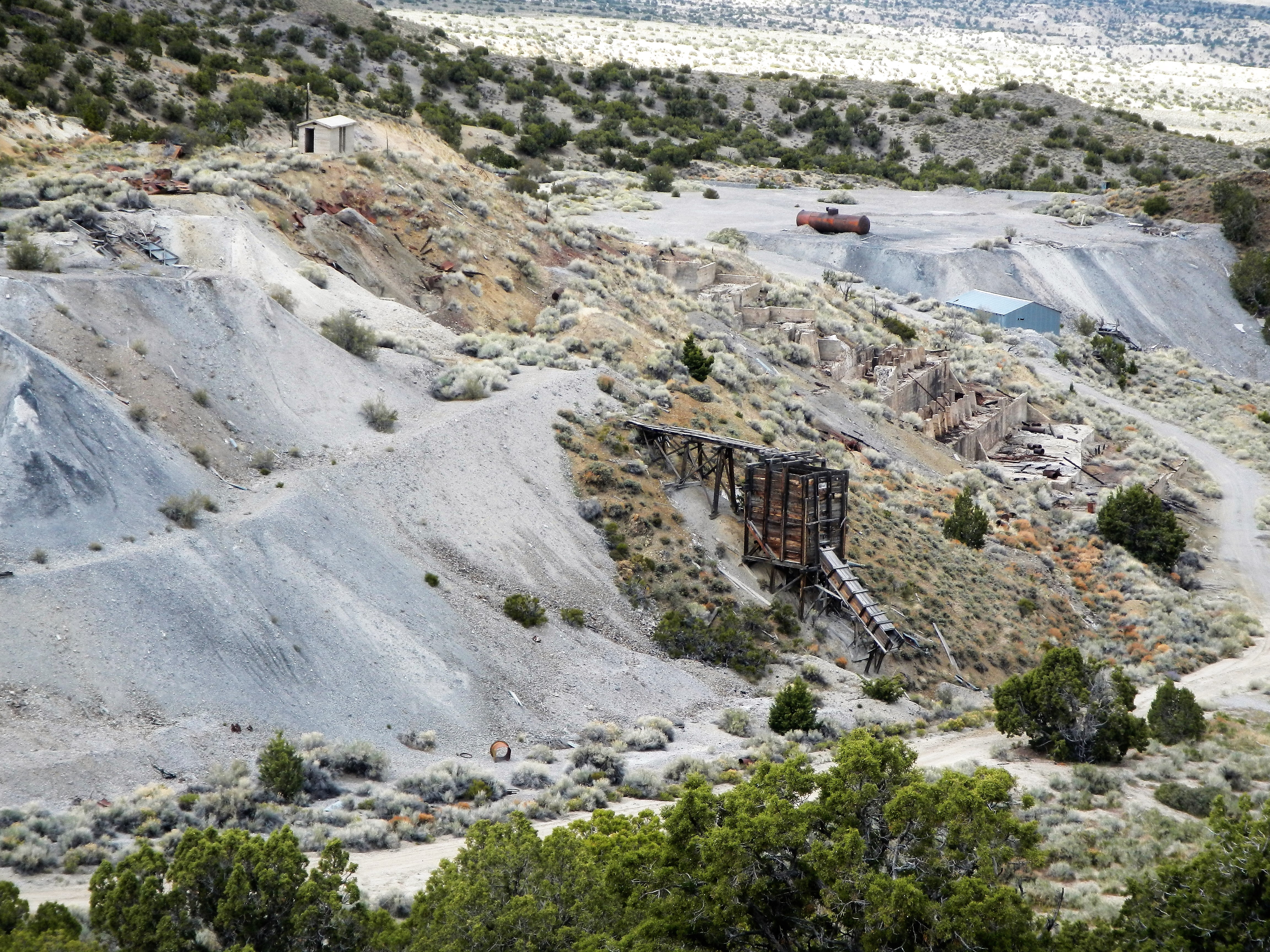
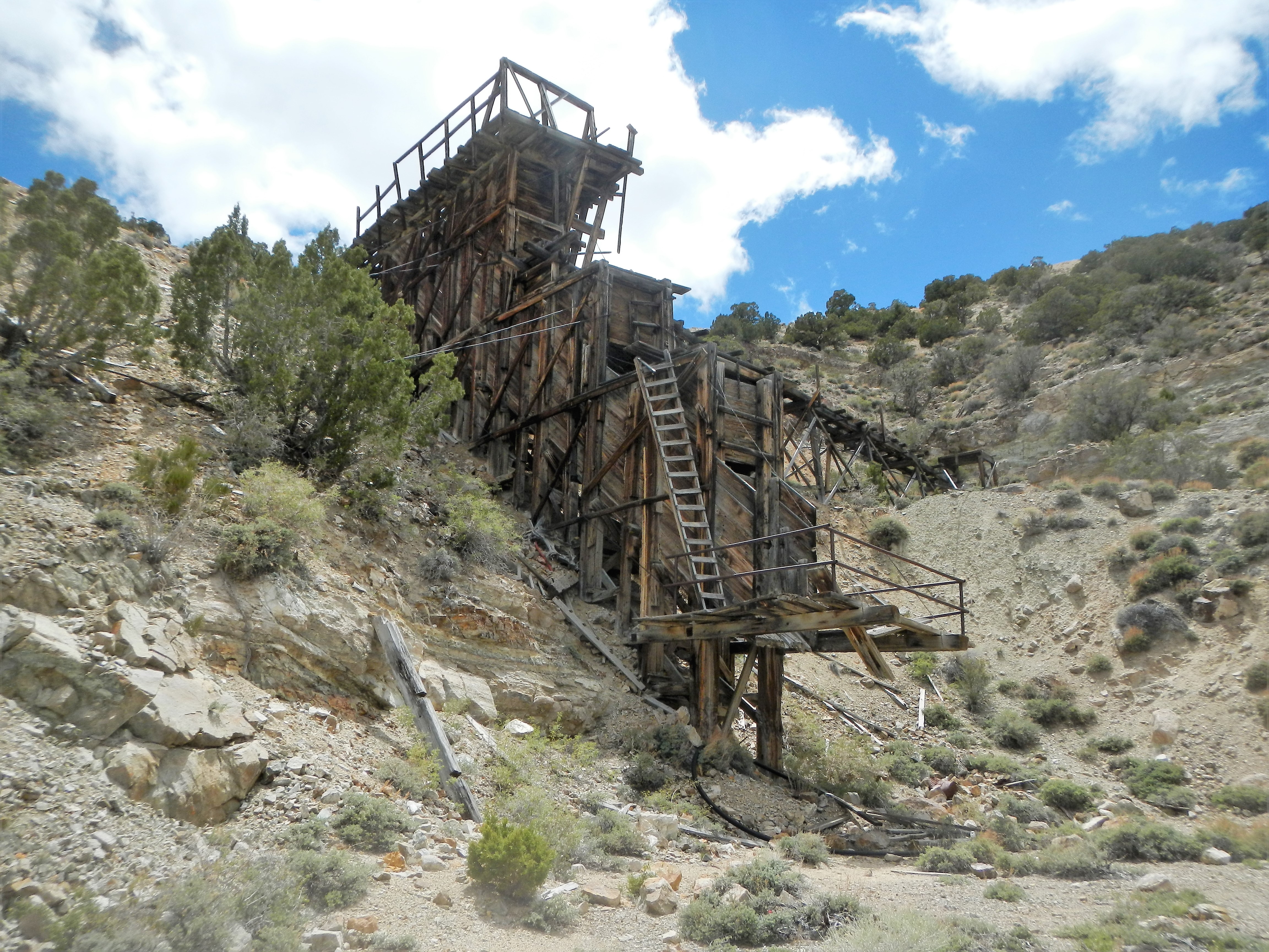
Overview look at a part of the mine from surrounding mountain top.  There was a deep mine shaft going straight down from the top of this mountain.  Just beyond the Loading bin structure are the remains of a large structure with cement pillars.  Some sort of “FLOATING” process took place there to separate out the mineral components.

Simon Lead Group

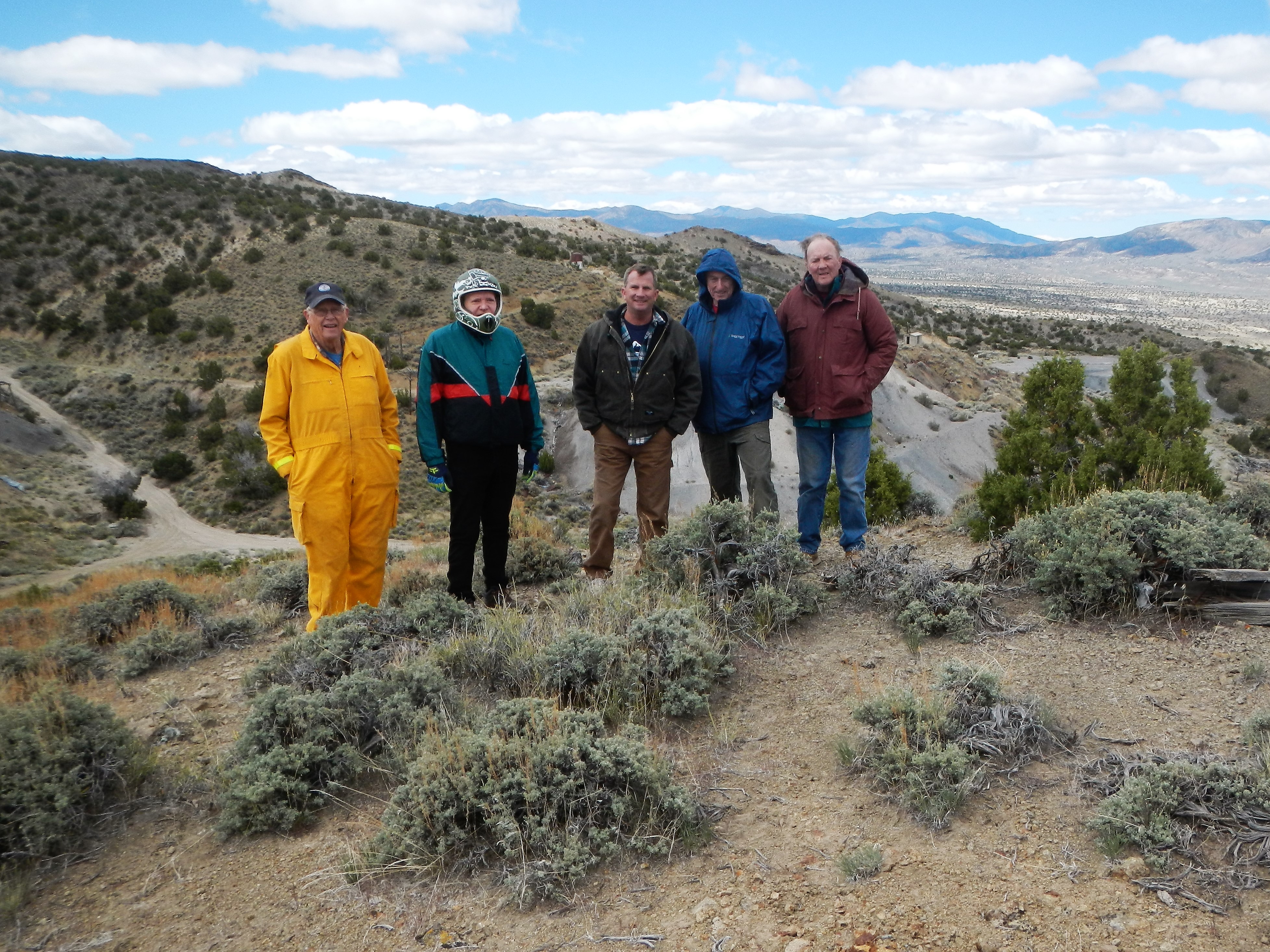
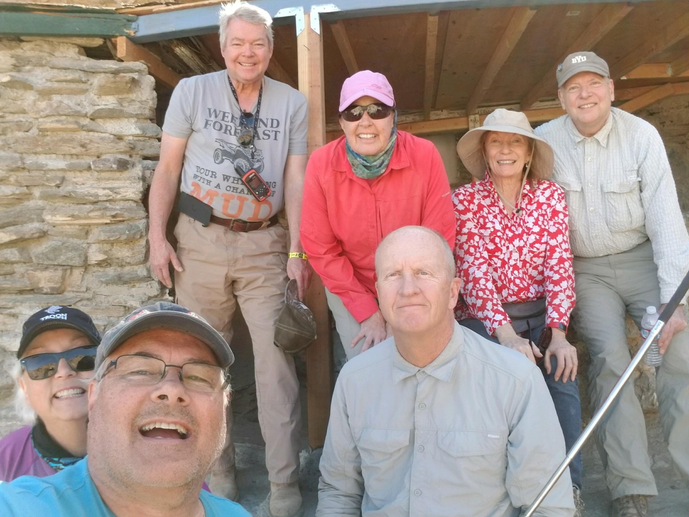
Bruce, Doug, Drew, Robert and Jim at the Simon-Lead mine overlook.

Simon Lead Jim Westmorland

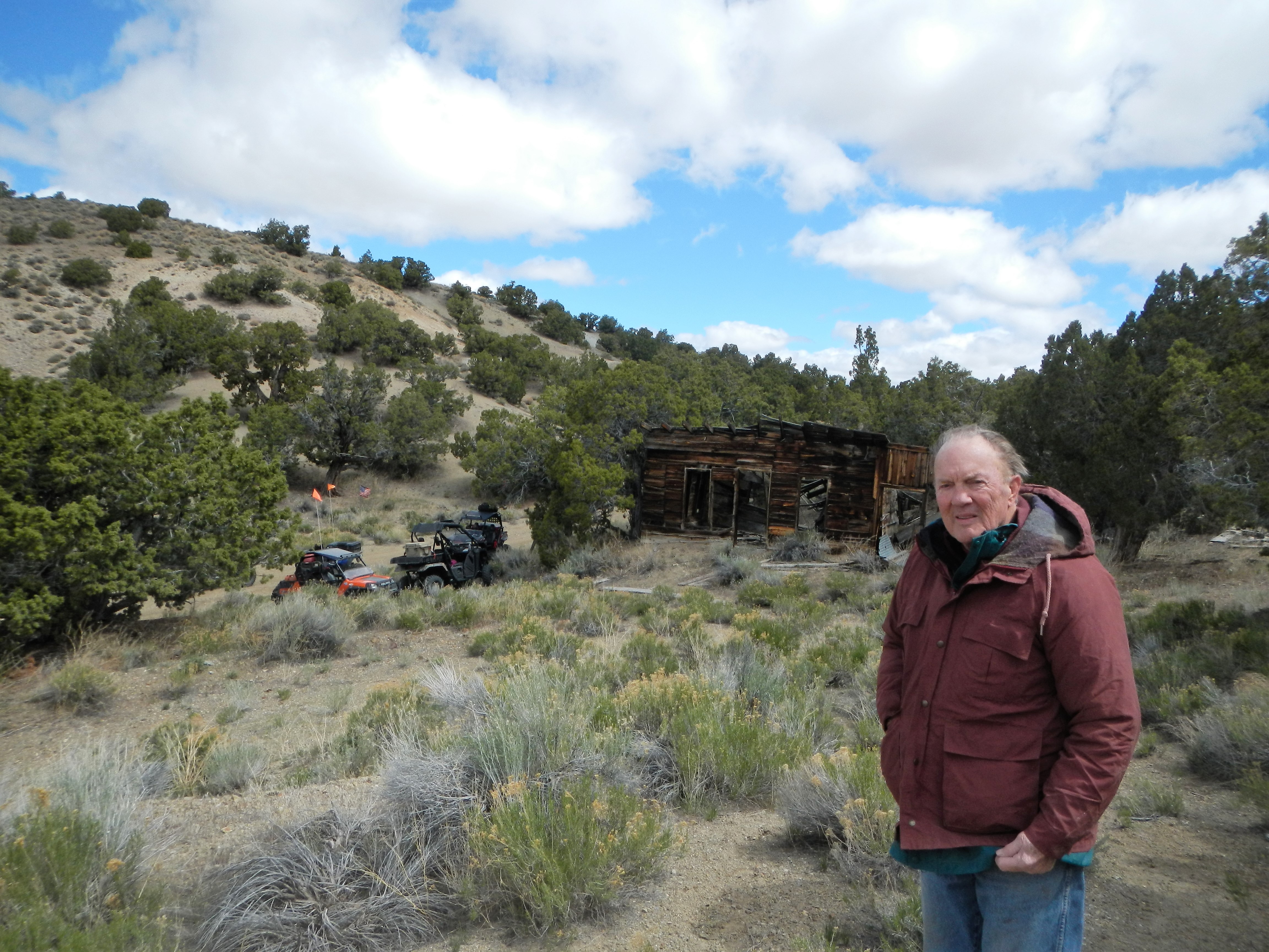
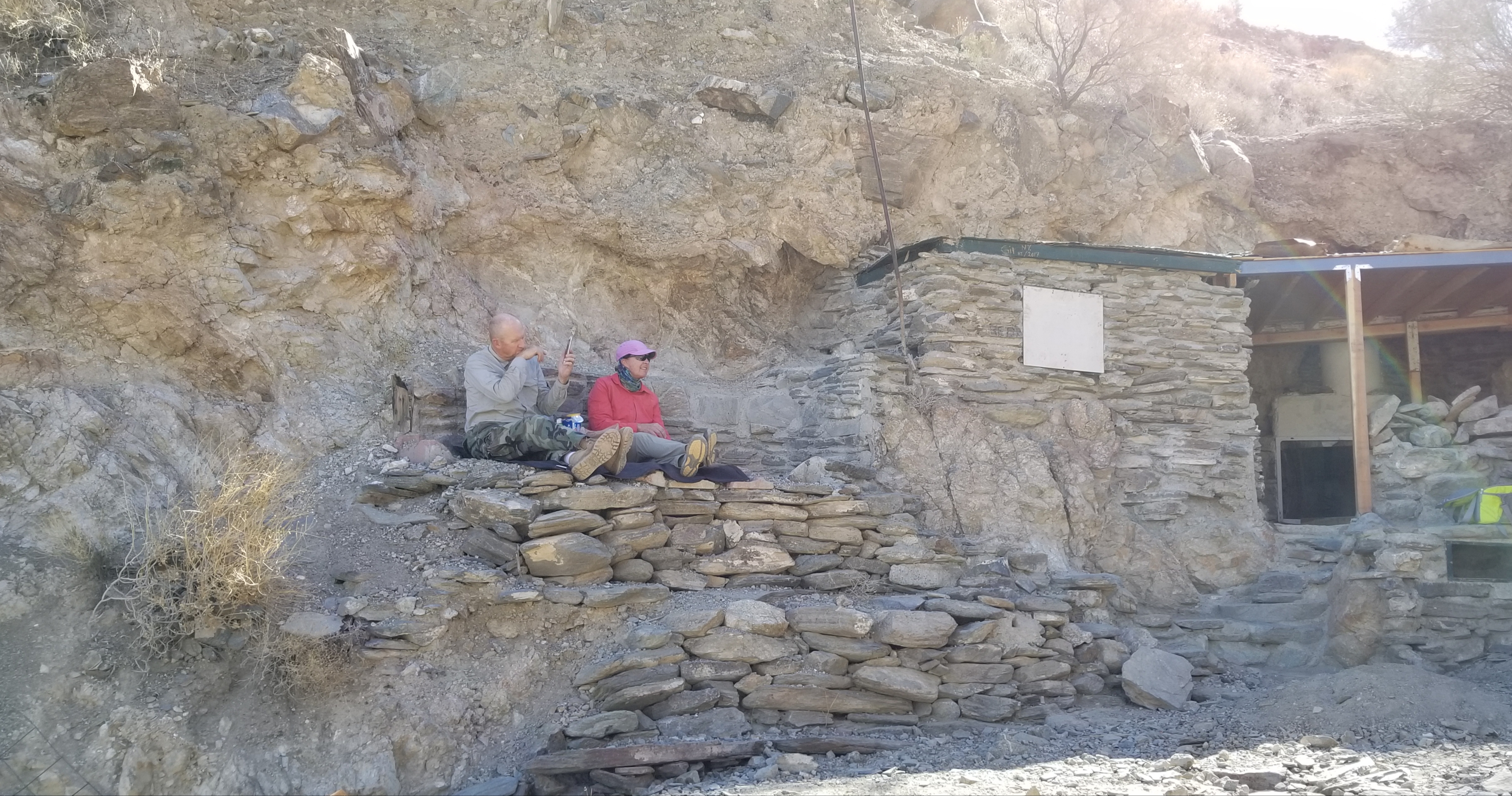
Jim and more cool old building at the mine site.  There were a lot of buildings here, many completely collapsed.

Simon Lead Mine Core Samples

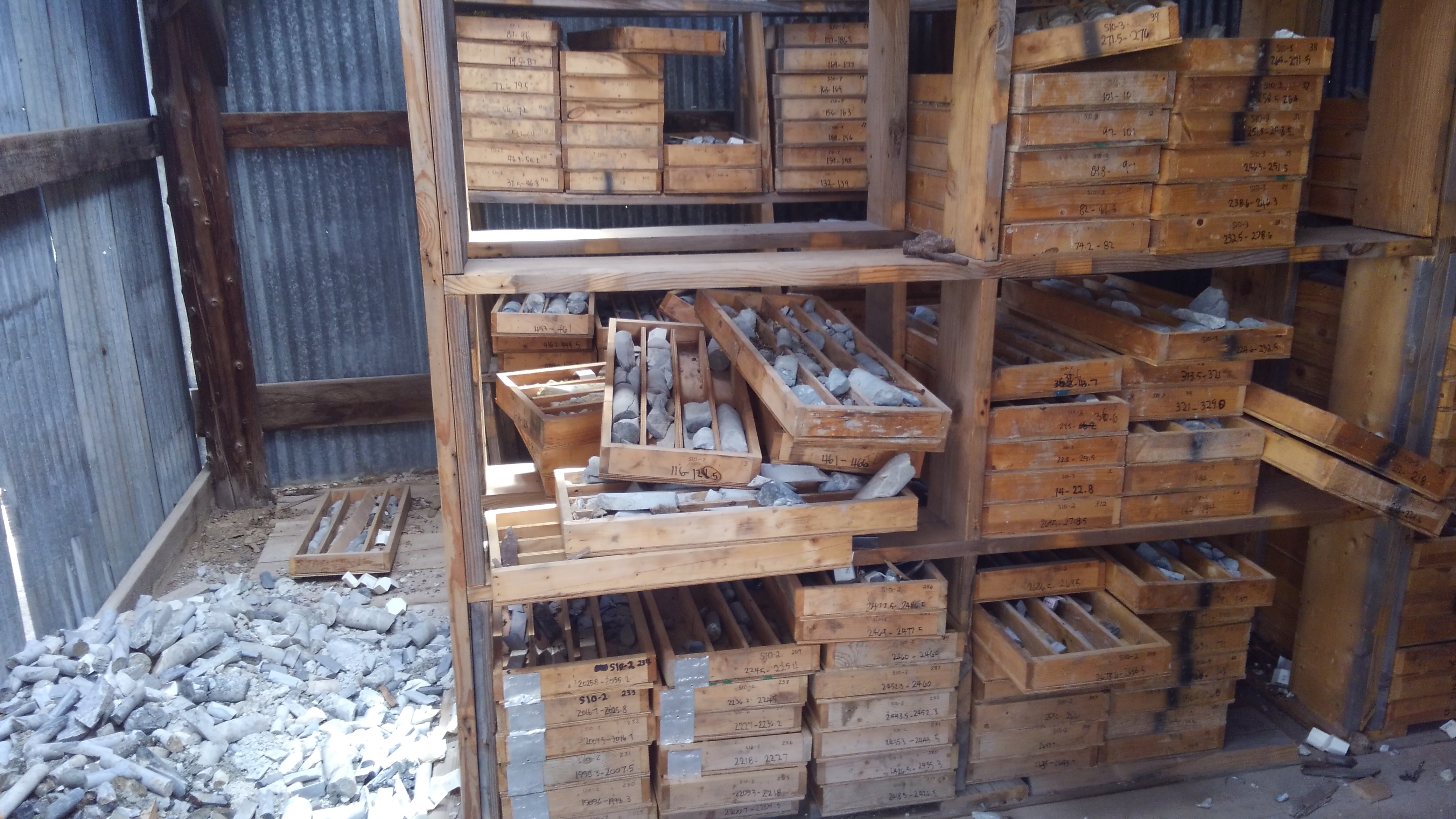
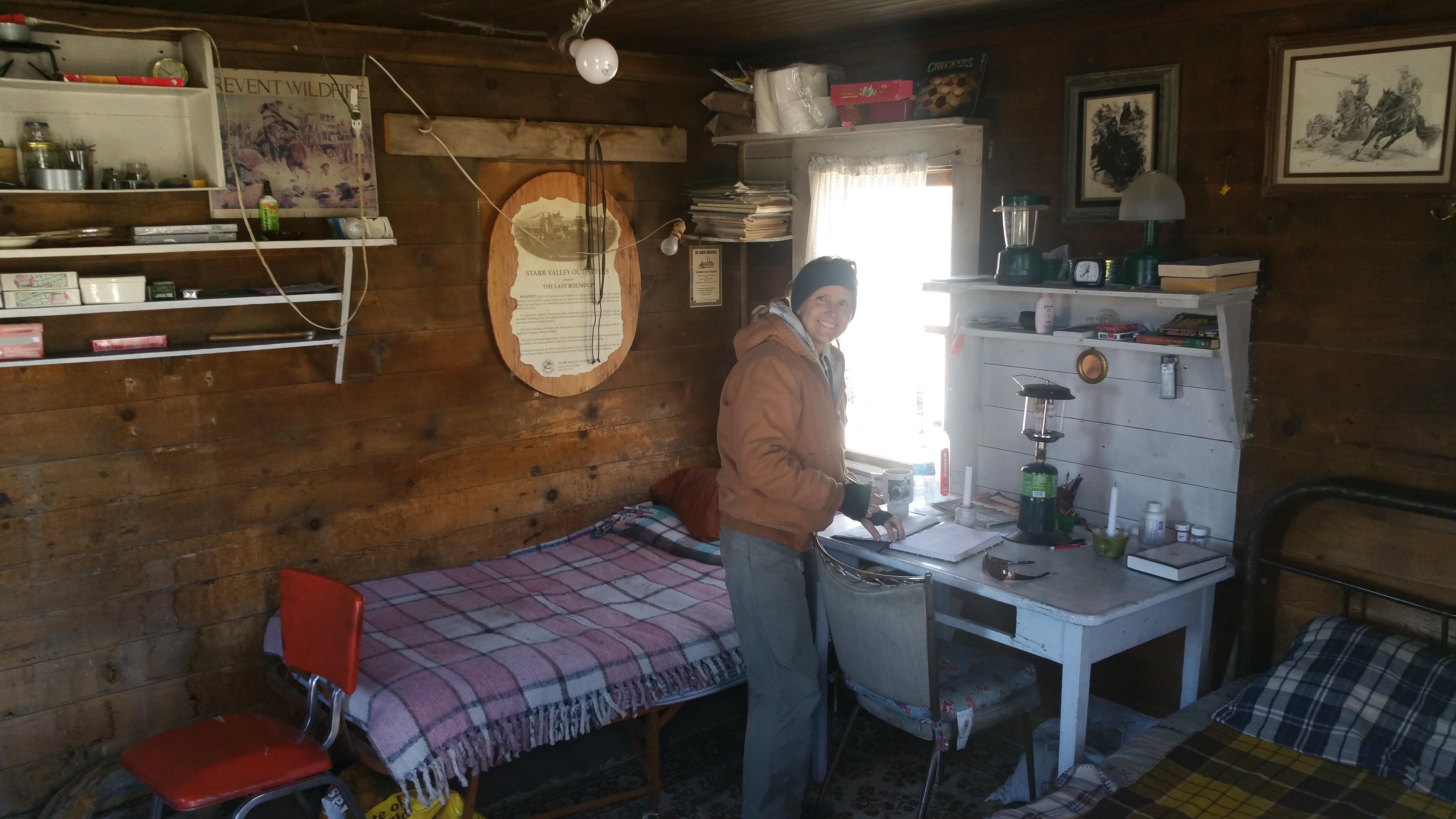
Inside another building on the site that contained a large number of cataloged drill core samples.

SimonLead MineShaft

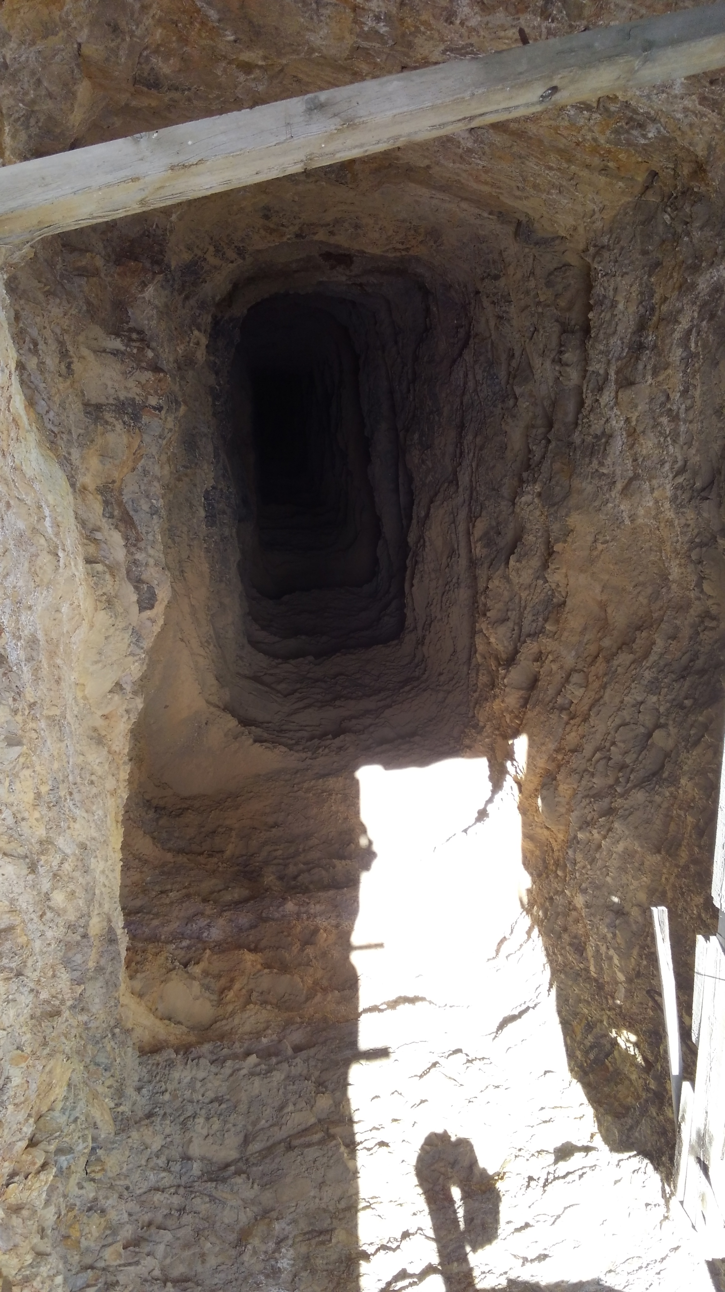
Just out side this building was a mine shaft that was edged in cement.  This hole goes straight down for over 1000 feet.  According to information about the mine on the Internet, there are over 25,000 feet (5 miles) of tunnels in this mine complex.

Simon Lead Lower

This is an additional mine shaft down the mountain a bit further.   Here is a link to some excellent photos, wish I had seen this Link before going it would have made more sense.  Check this link out Simon Lead Mine

Next up Gun Metal Mine

IMG_1213

Three main entrance Portals with deep shafts just inside.  This is the Gun Metal mine and reportedly Tungsten was mined here.

Gun Metal Mine Lower2

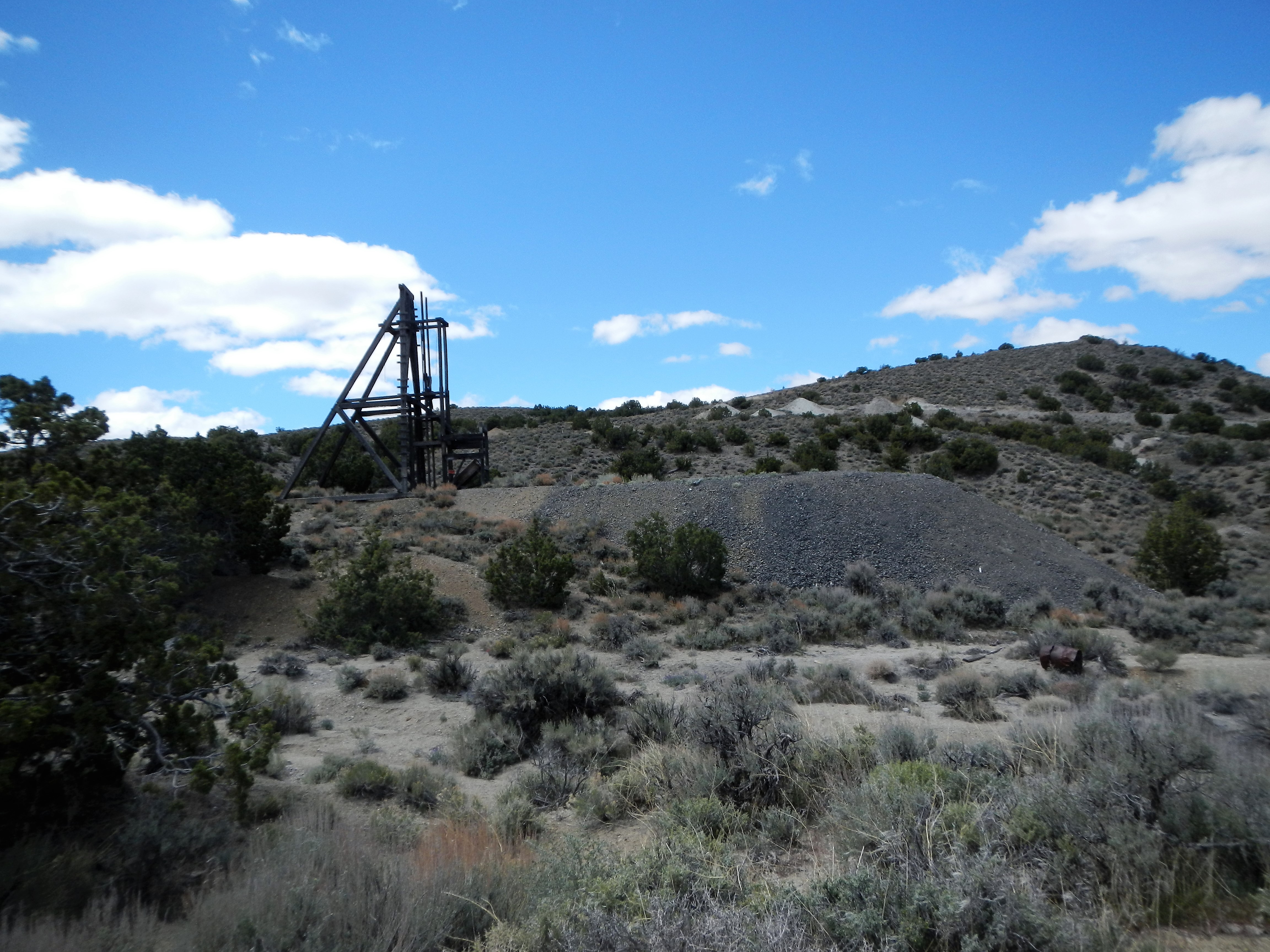
Ore cars were brought out of the lower mine shaft exit, I am guessing 600 plus feet below the three portals seen above.  It was brought from the mountain on the small gauge rail road bridge to this Hopper.  It had a least 3 levels to control material before it dropped out of the shoot.

Here are some links to other pictures and explanations of the Gun Metal Mining Complex.  Gun Metal Mine Complex also a few shots from inside the mine here  Gun Metal Mine

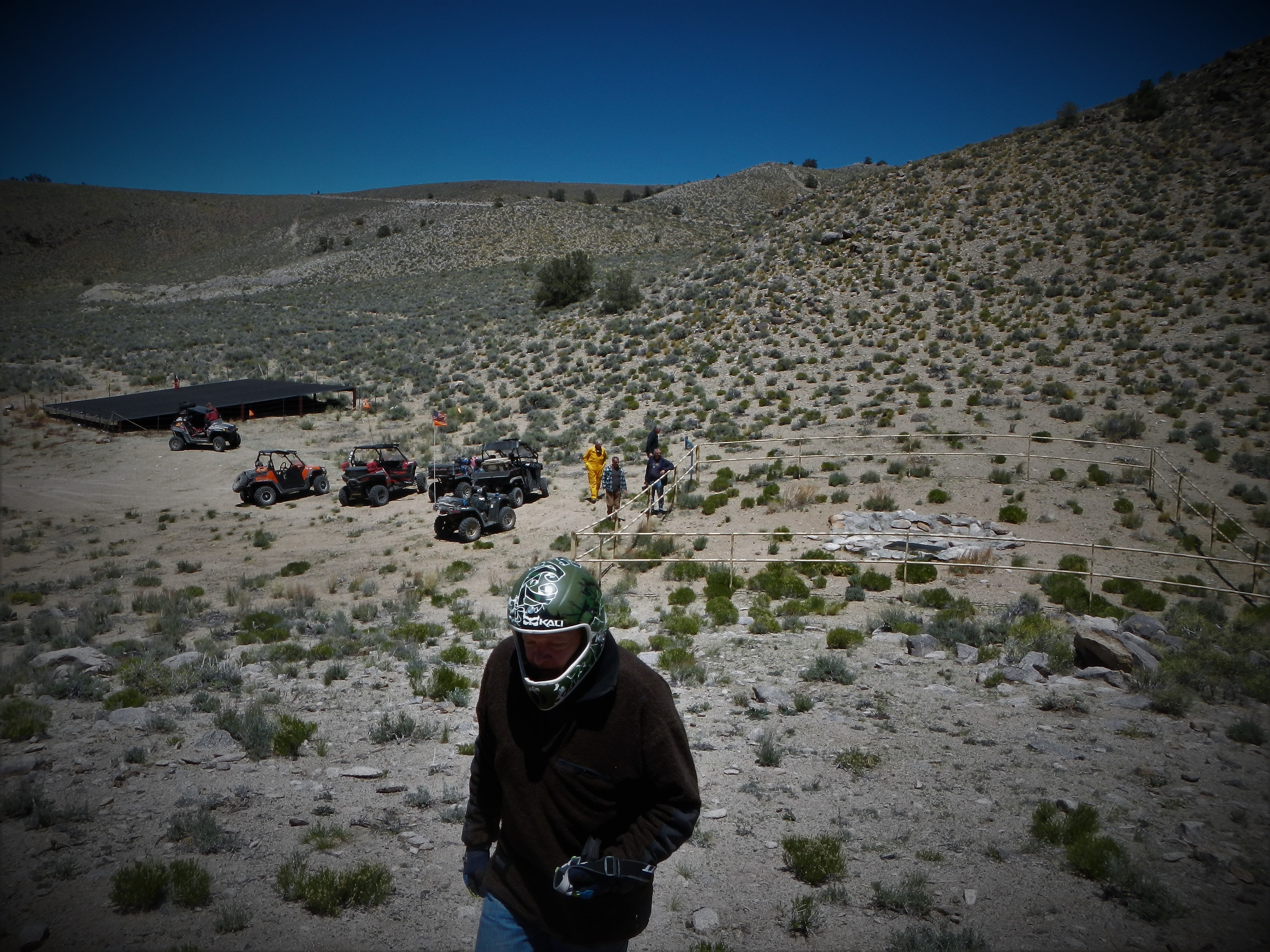
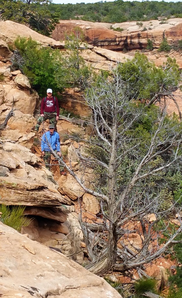
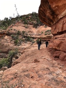
On Friday, Day #2,  we set out see Rattle Snake Wells, Cow Camp and Bass Cabin and mine.  It was 100 miles with all of the side roads taken trying to find the exact road.

Cow Camp Canyon

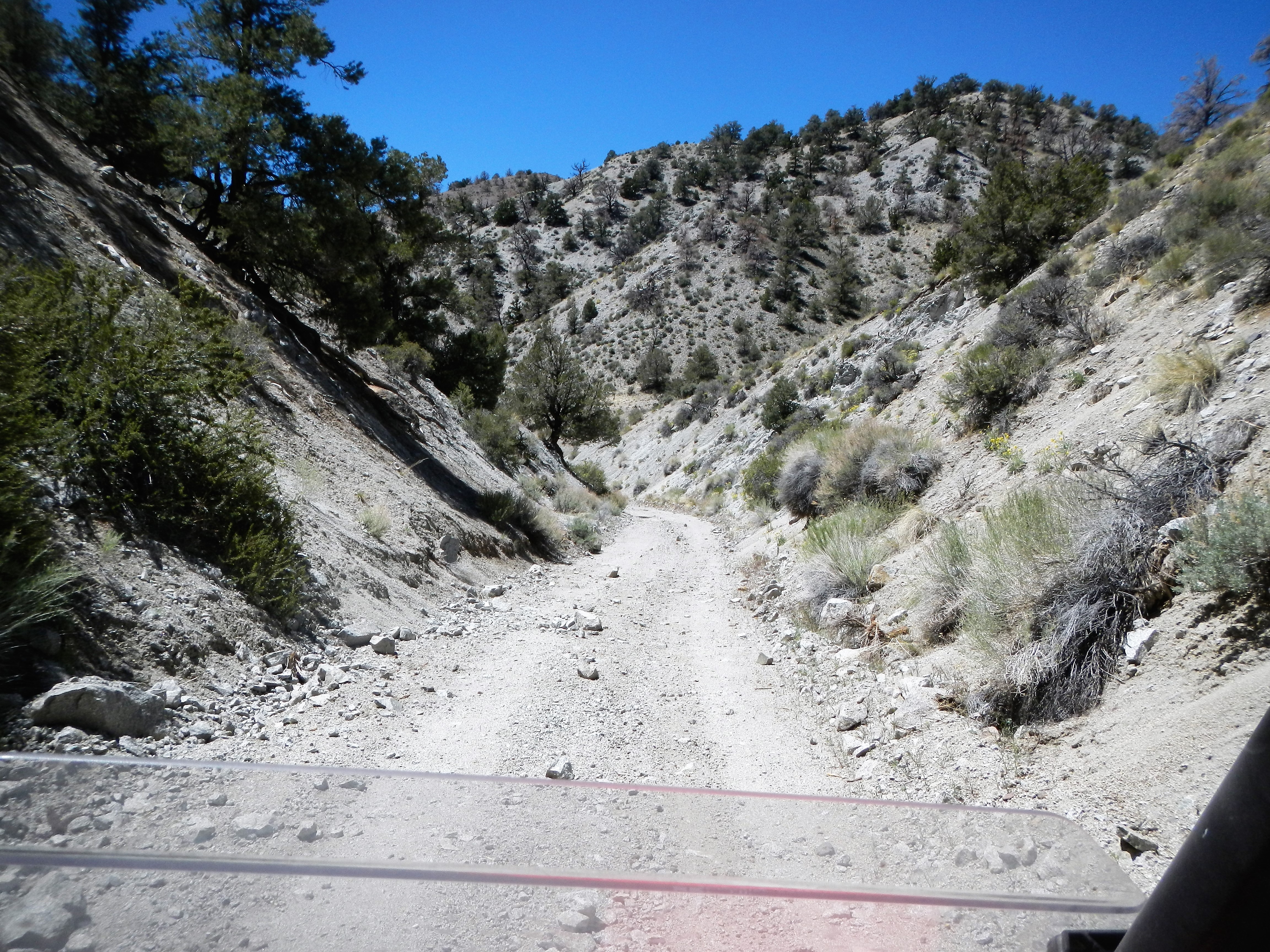
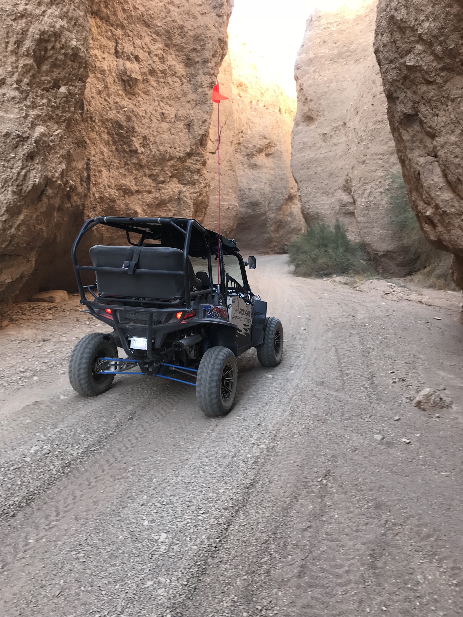
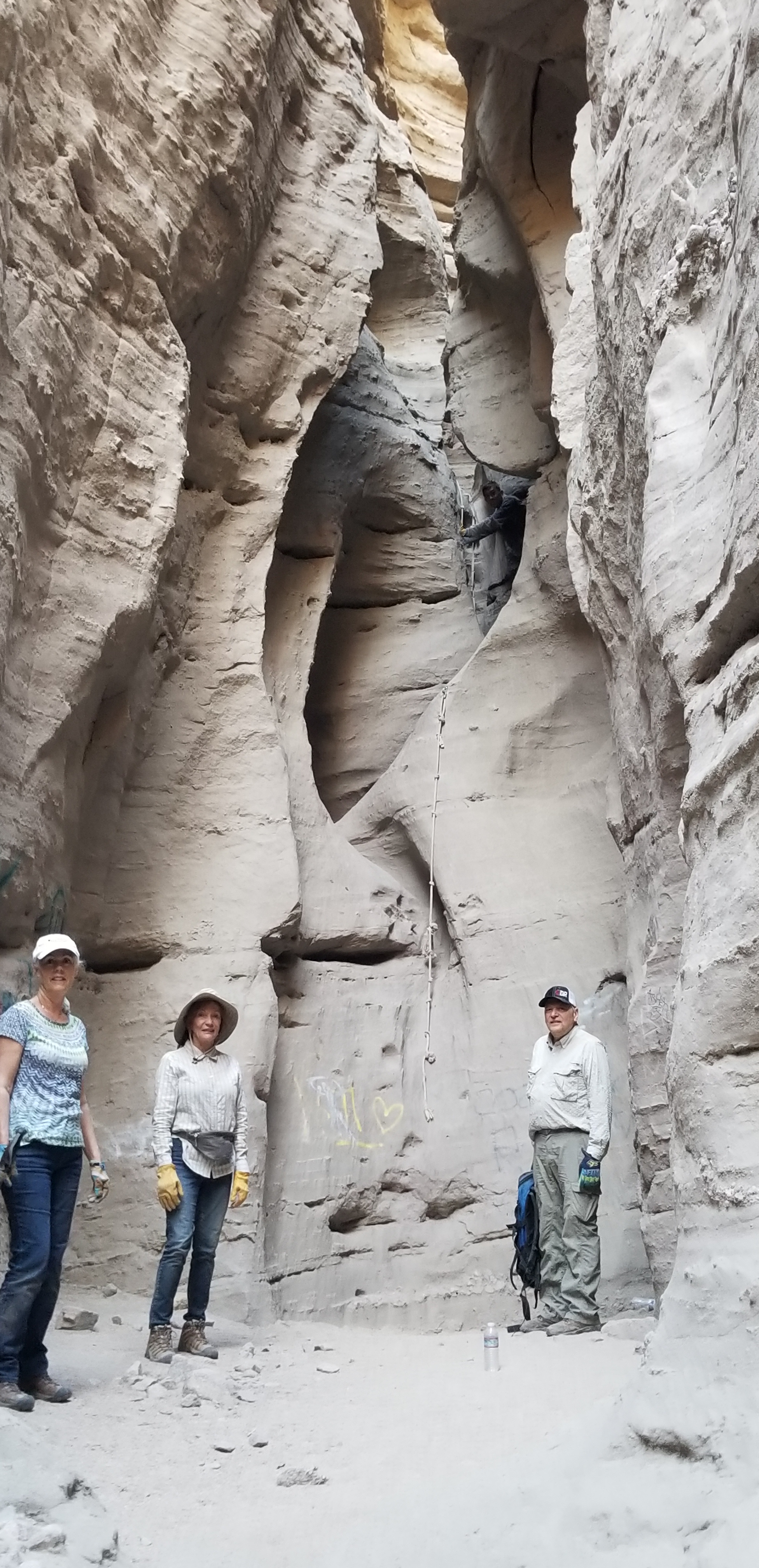
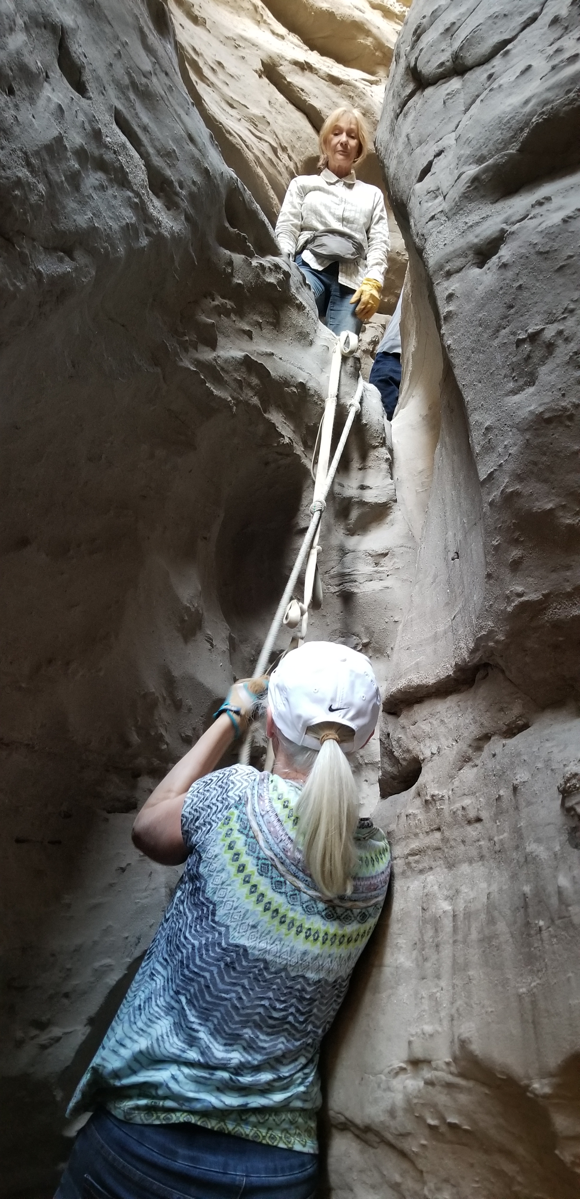
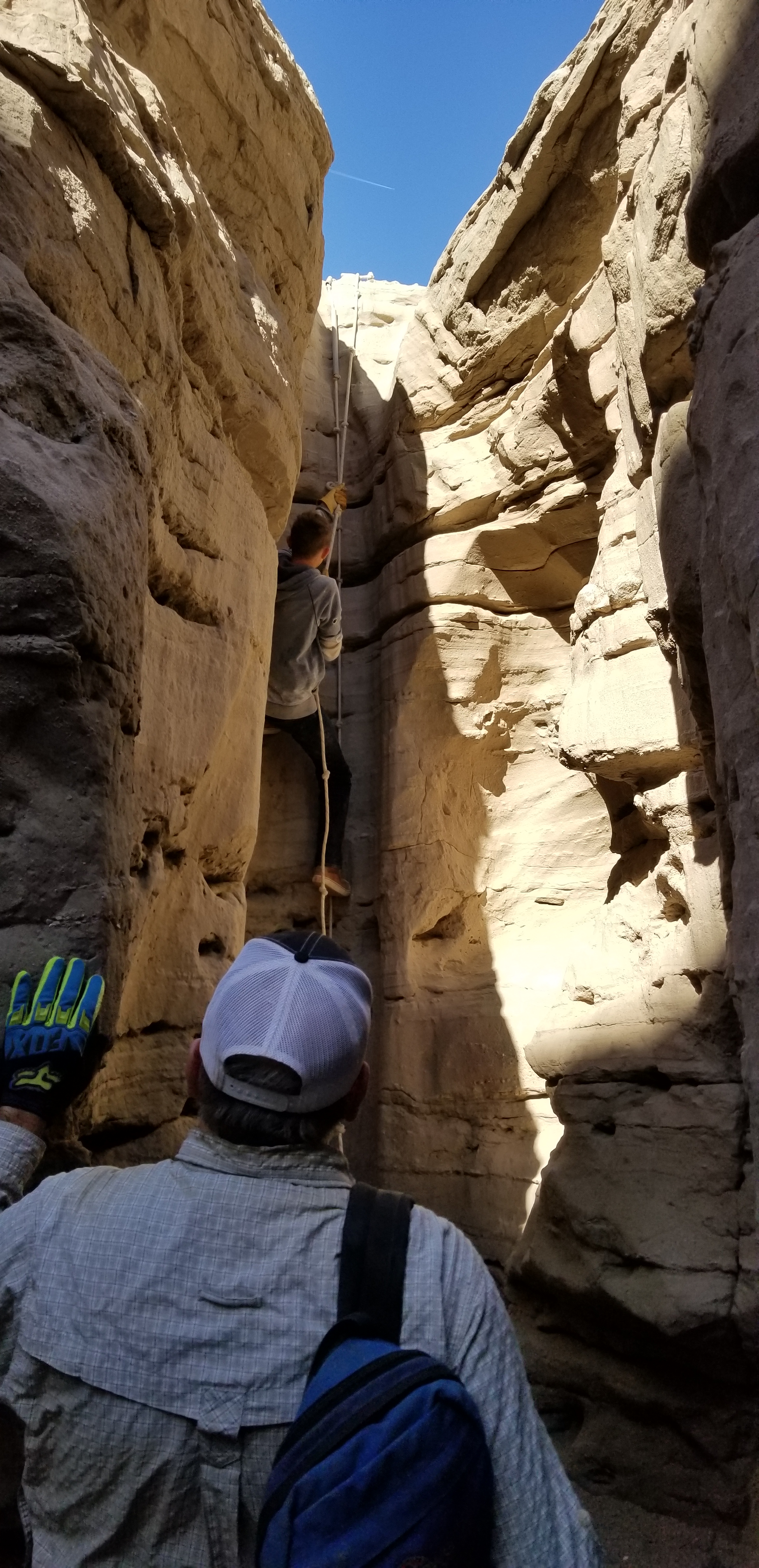
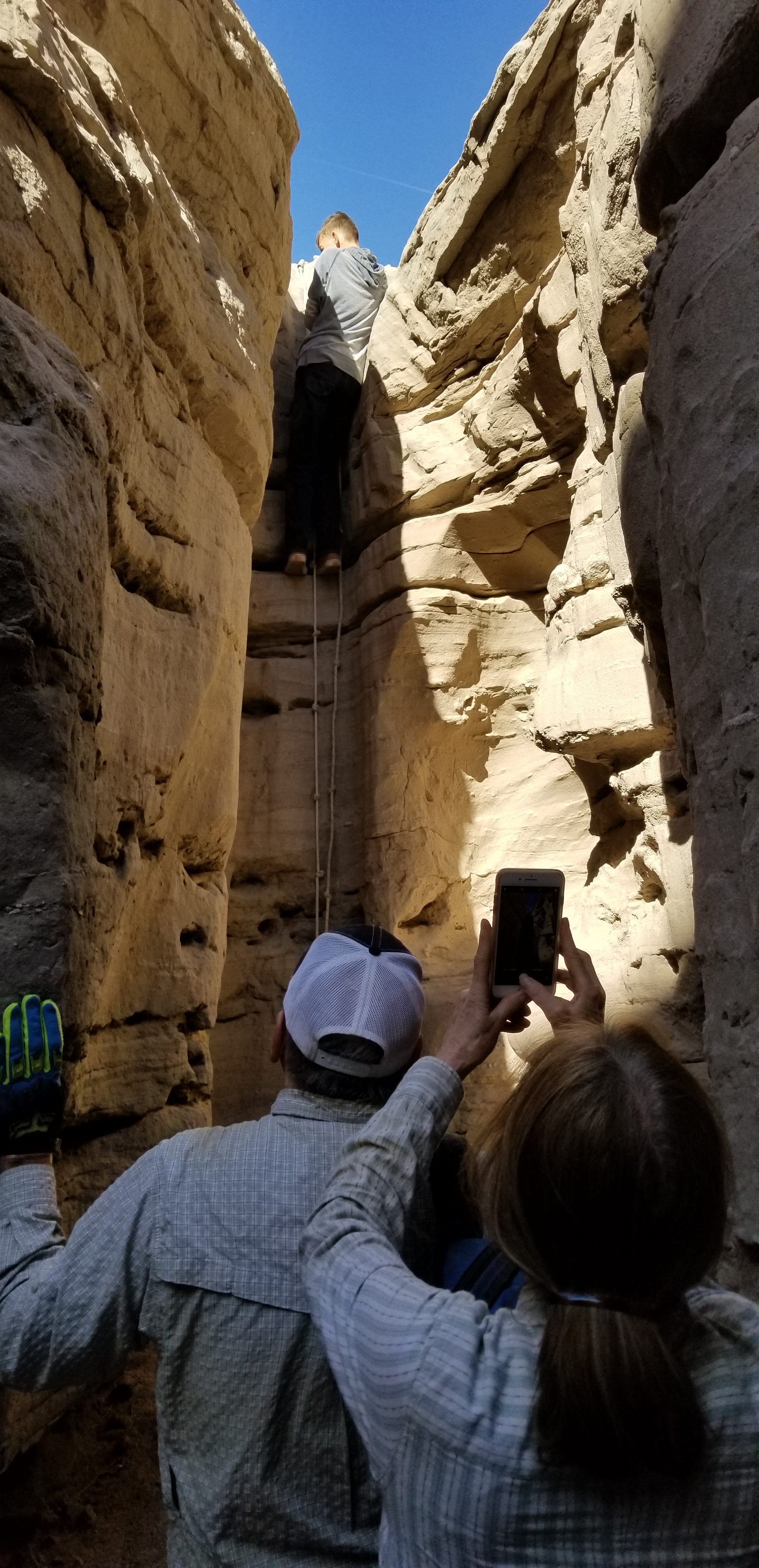
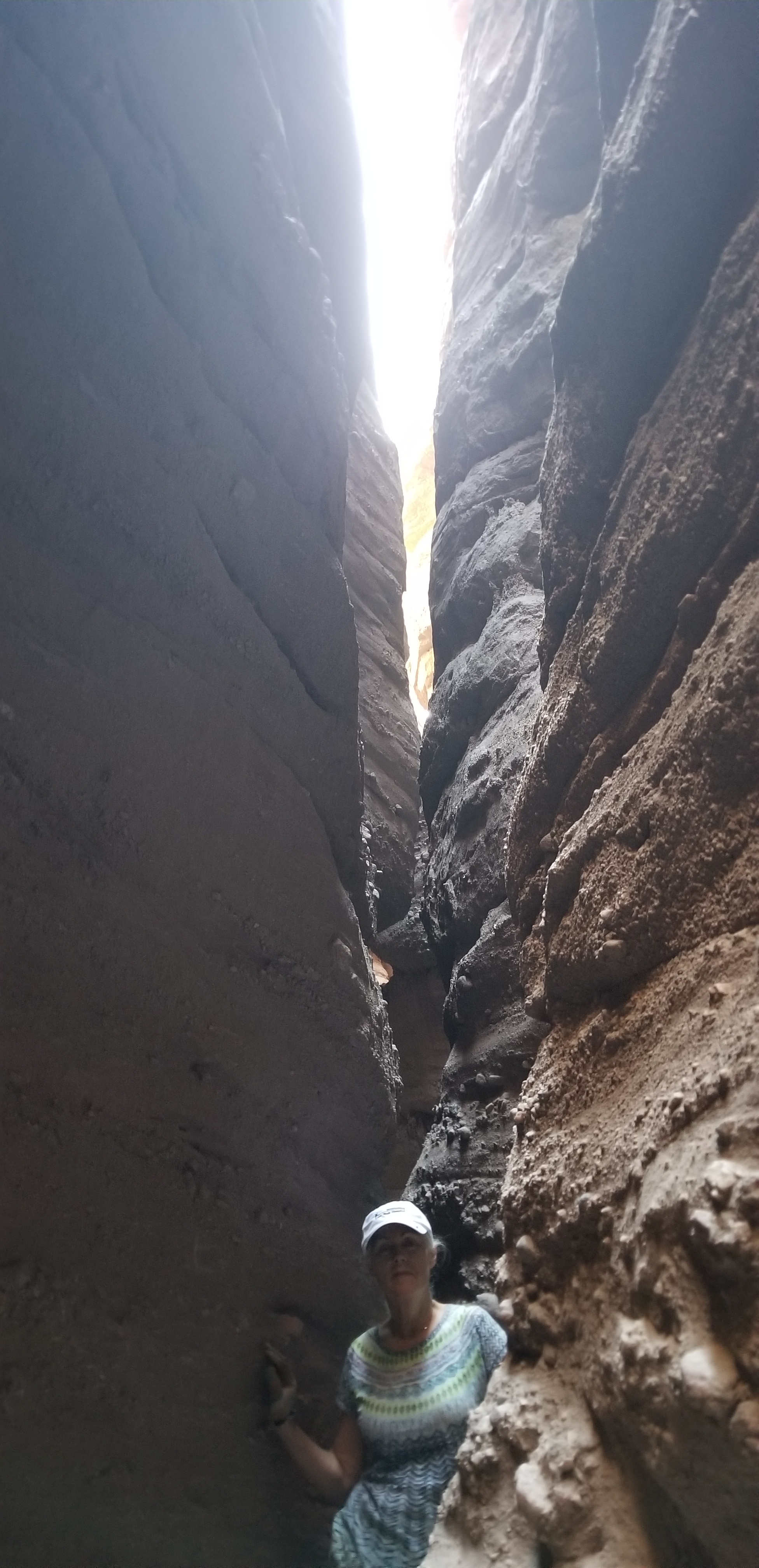
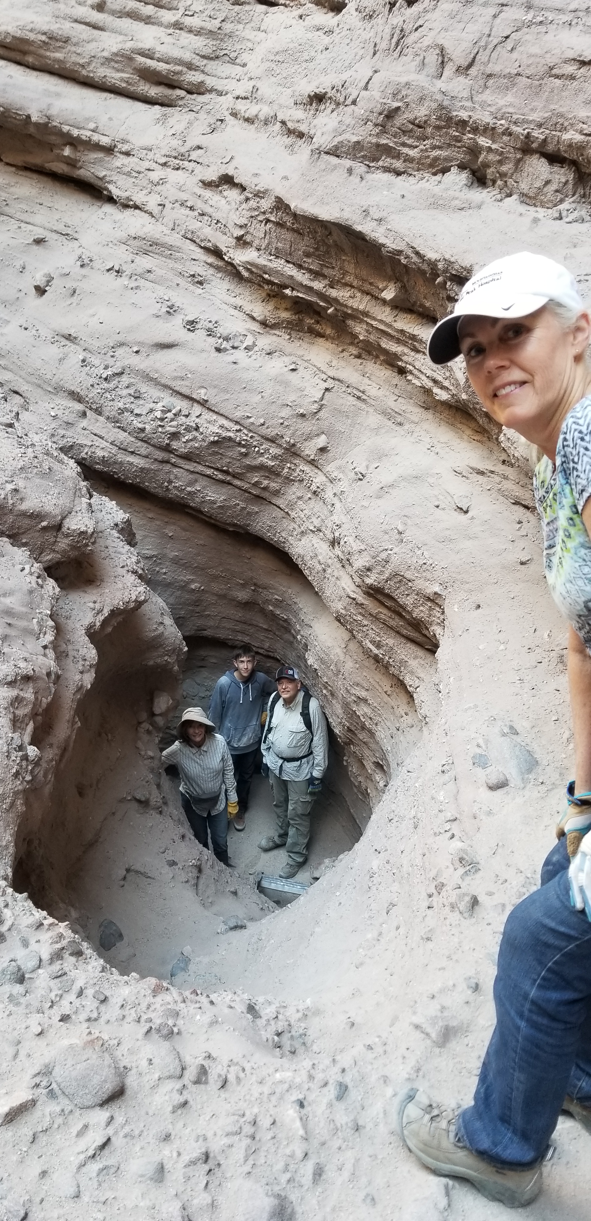
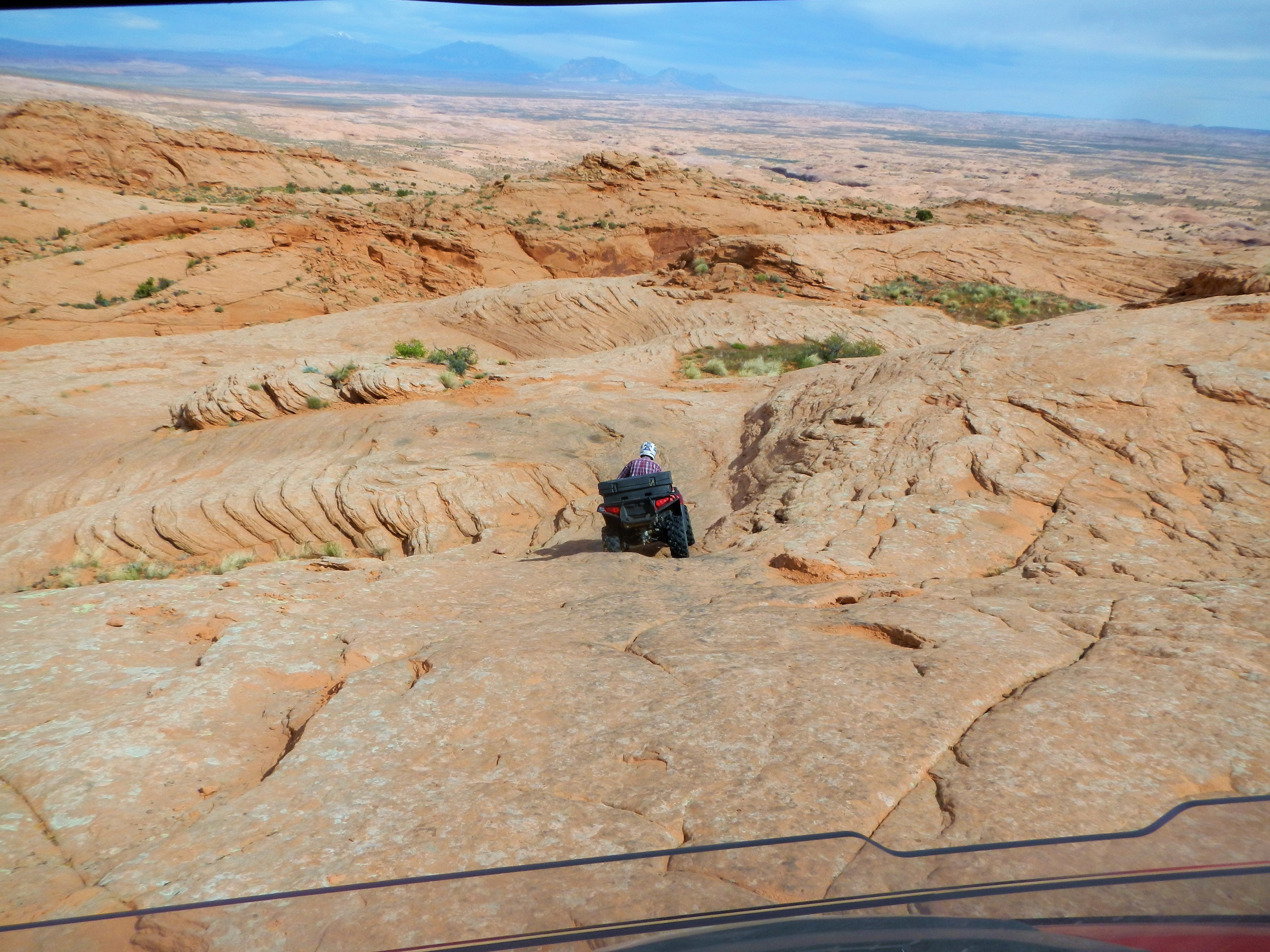
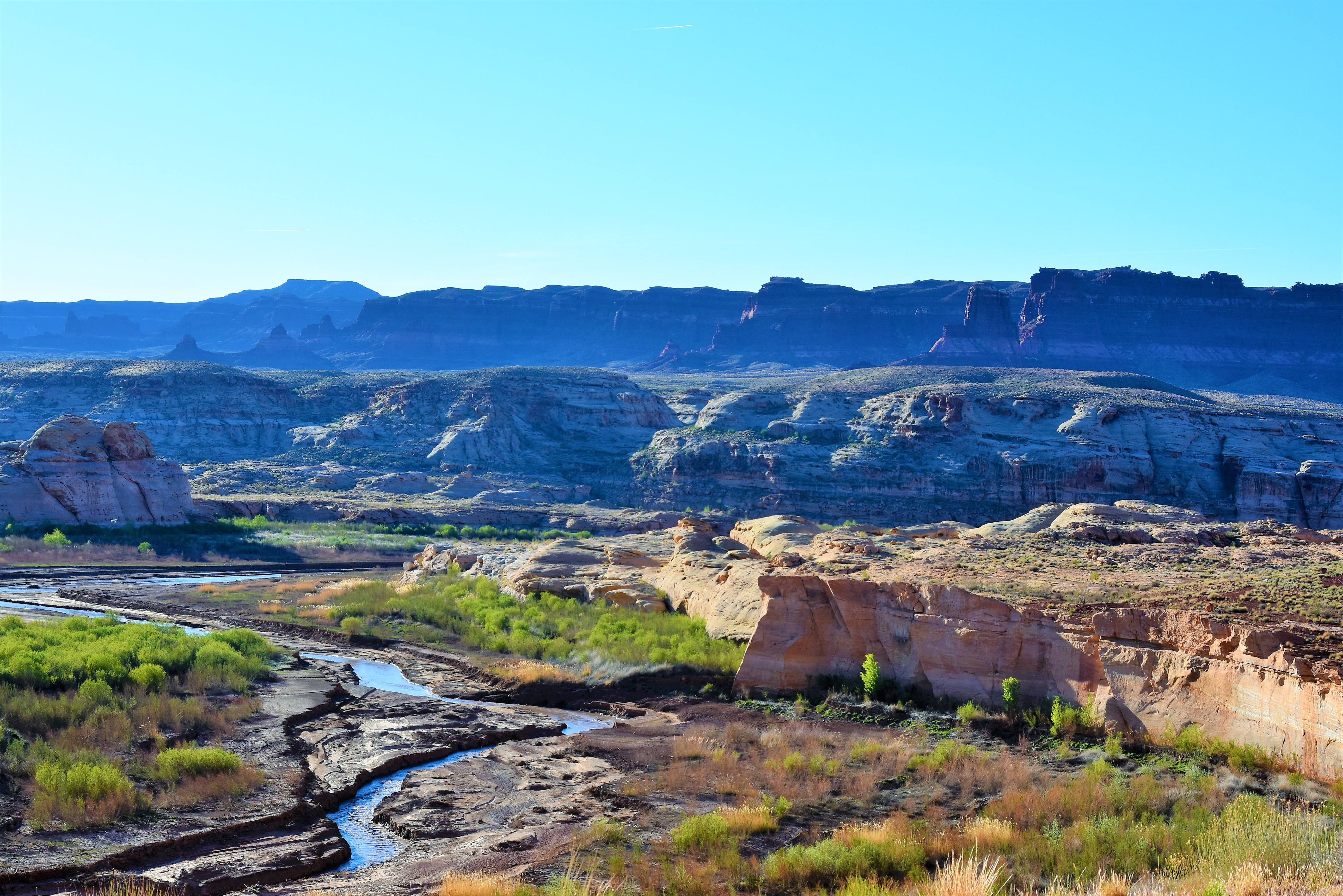
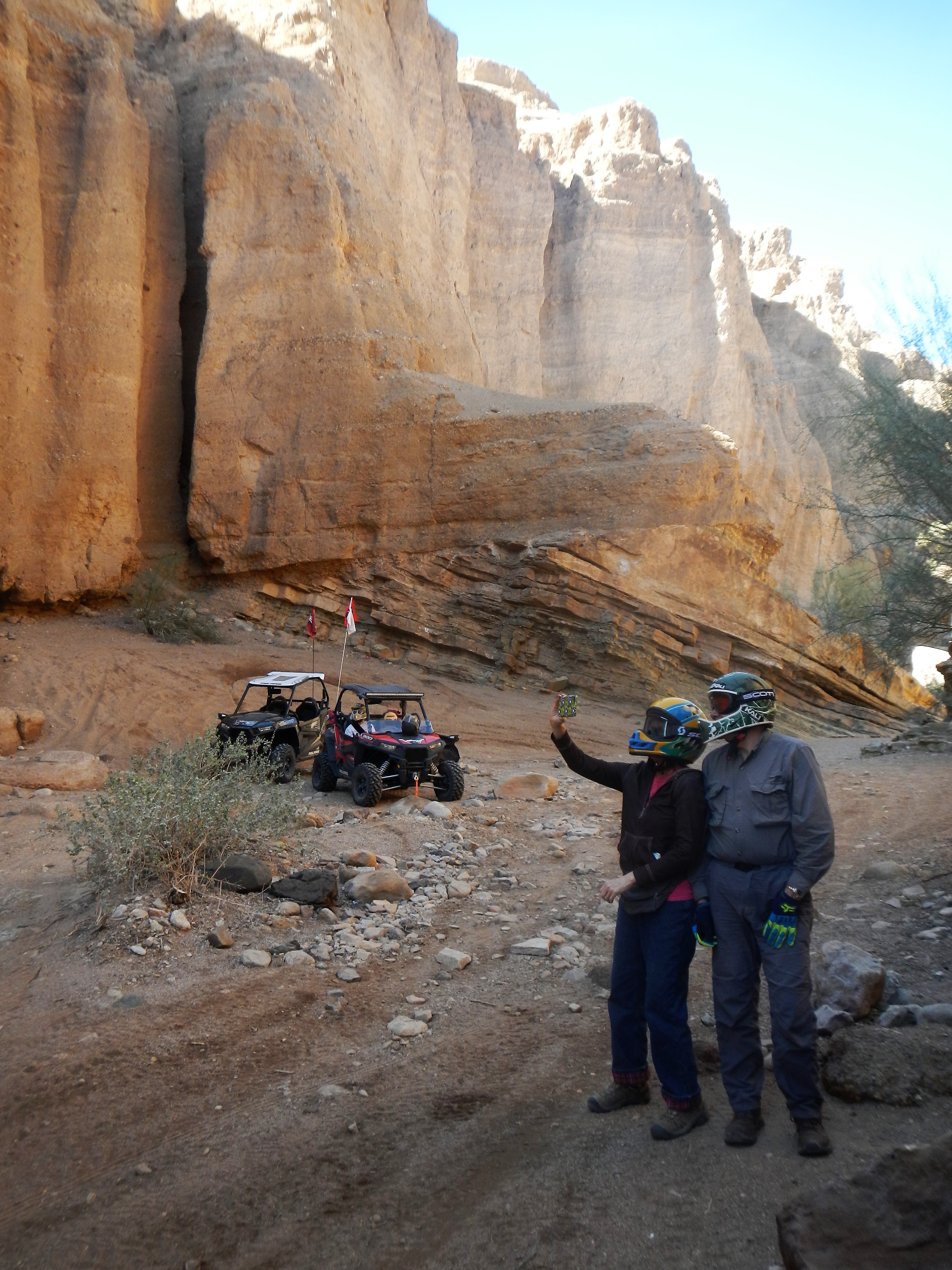
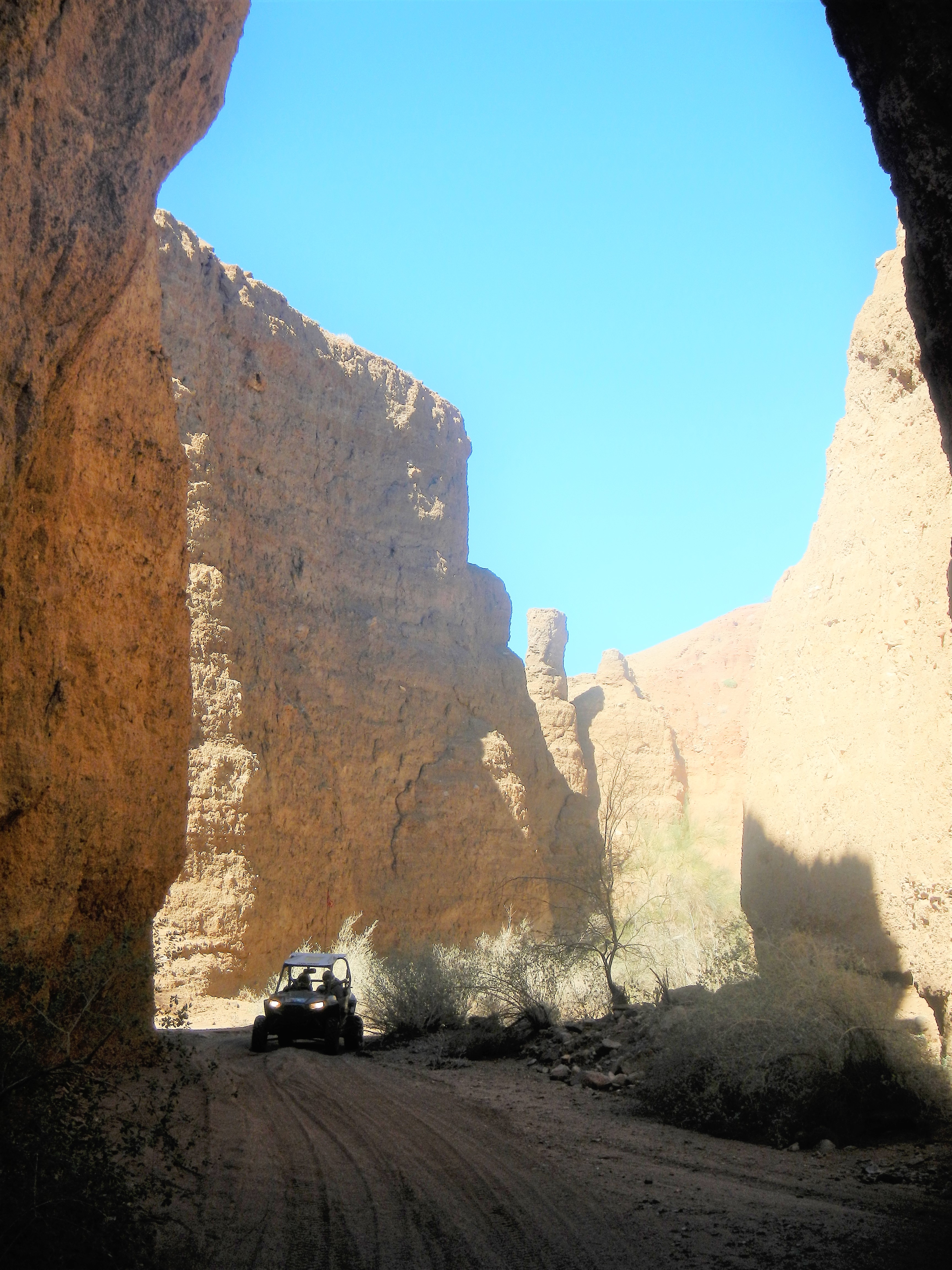
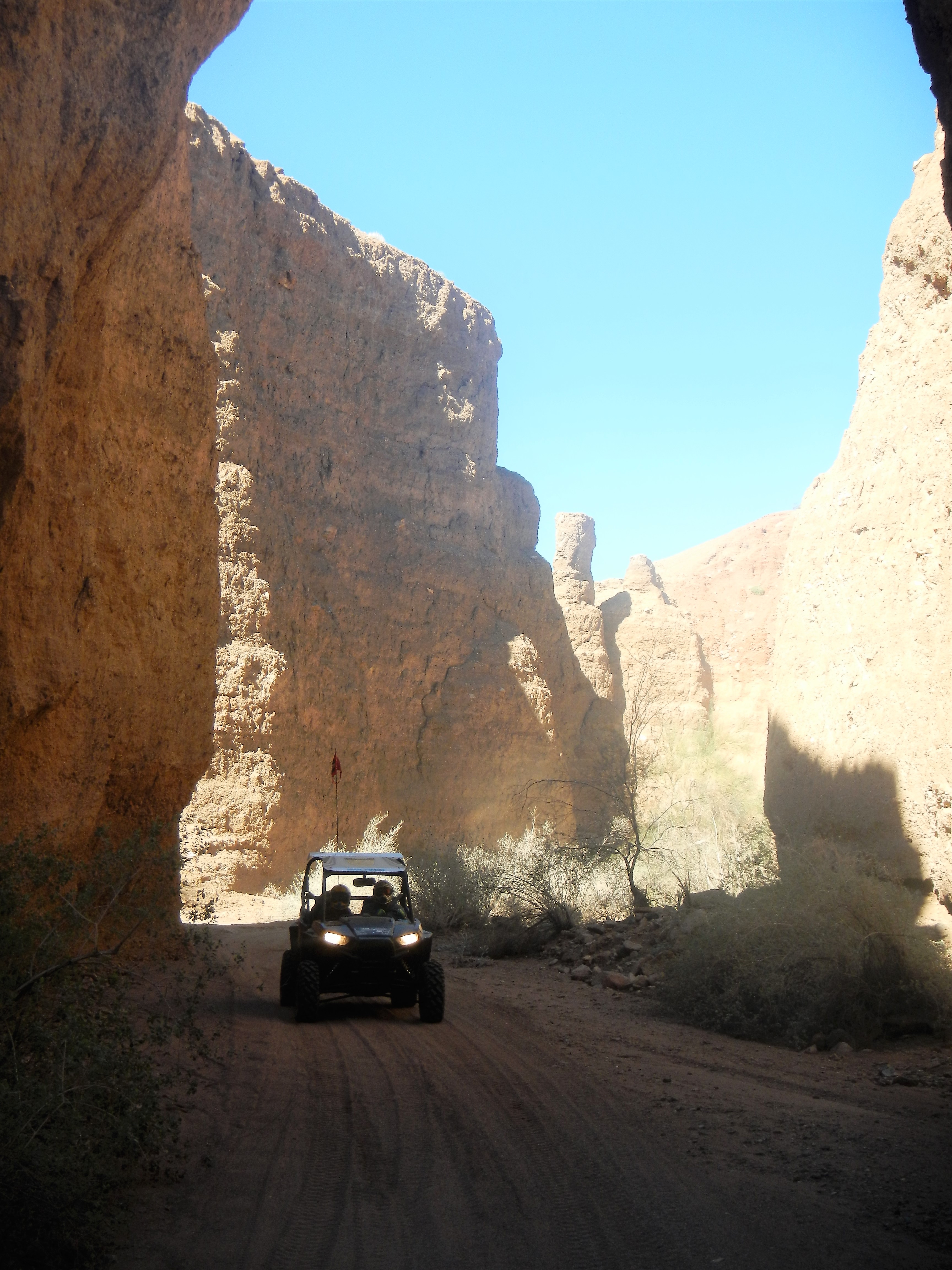
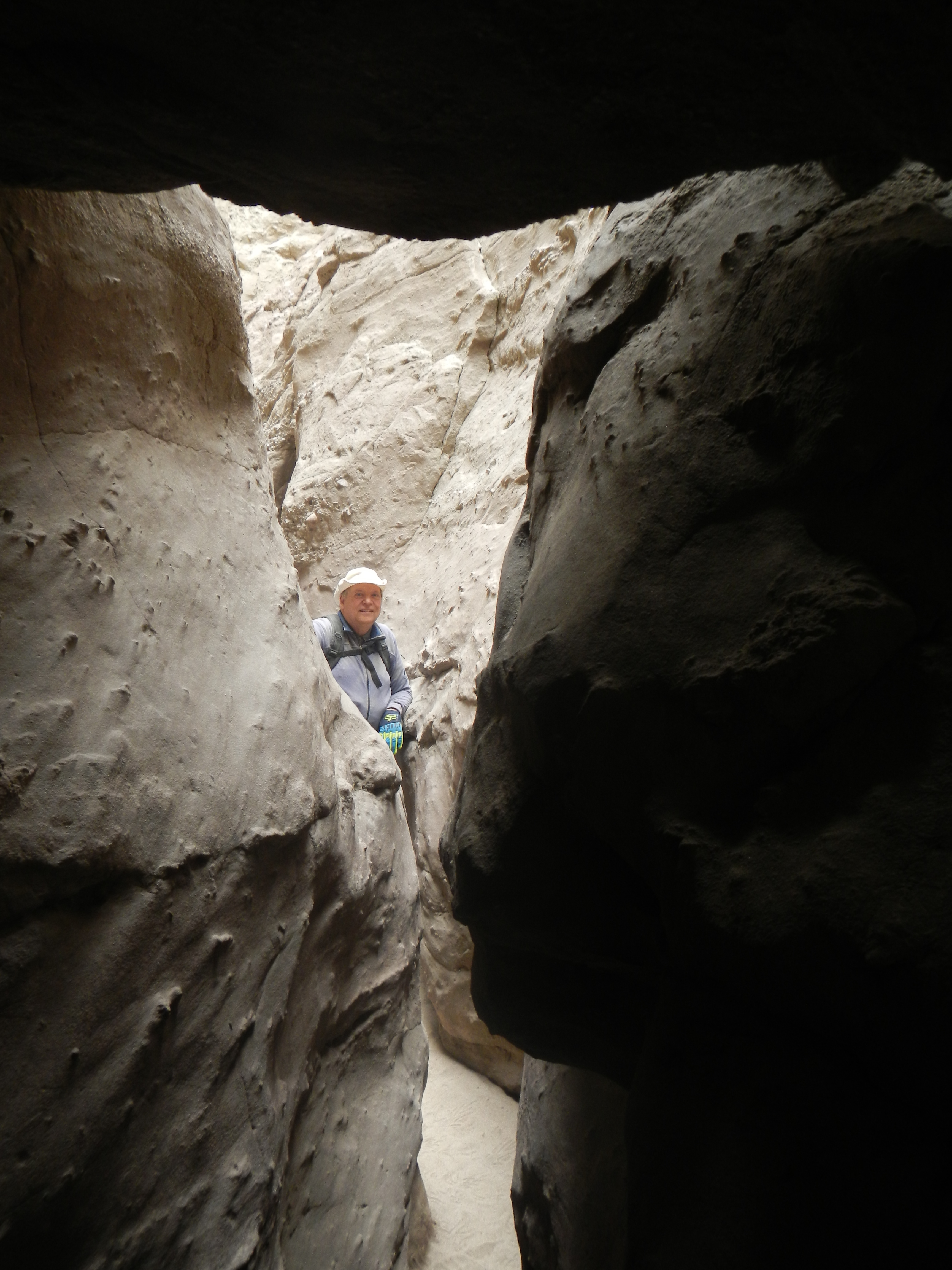
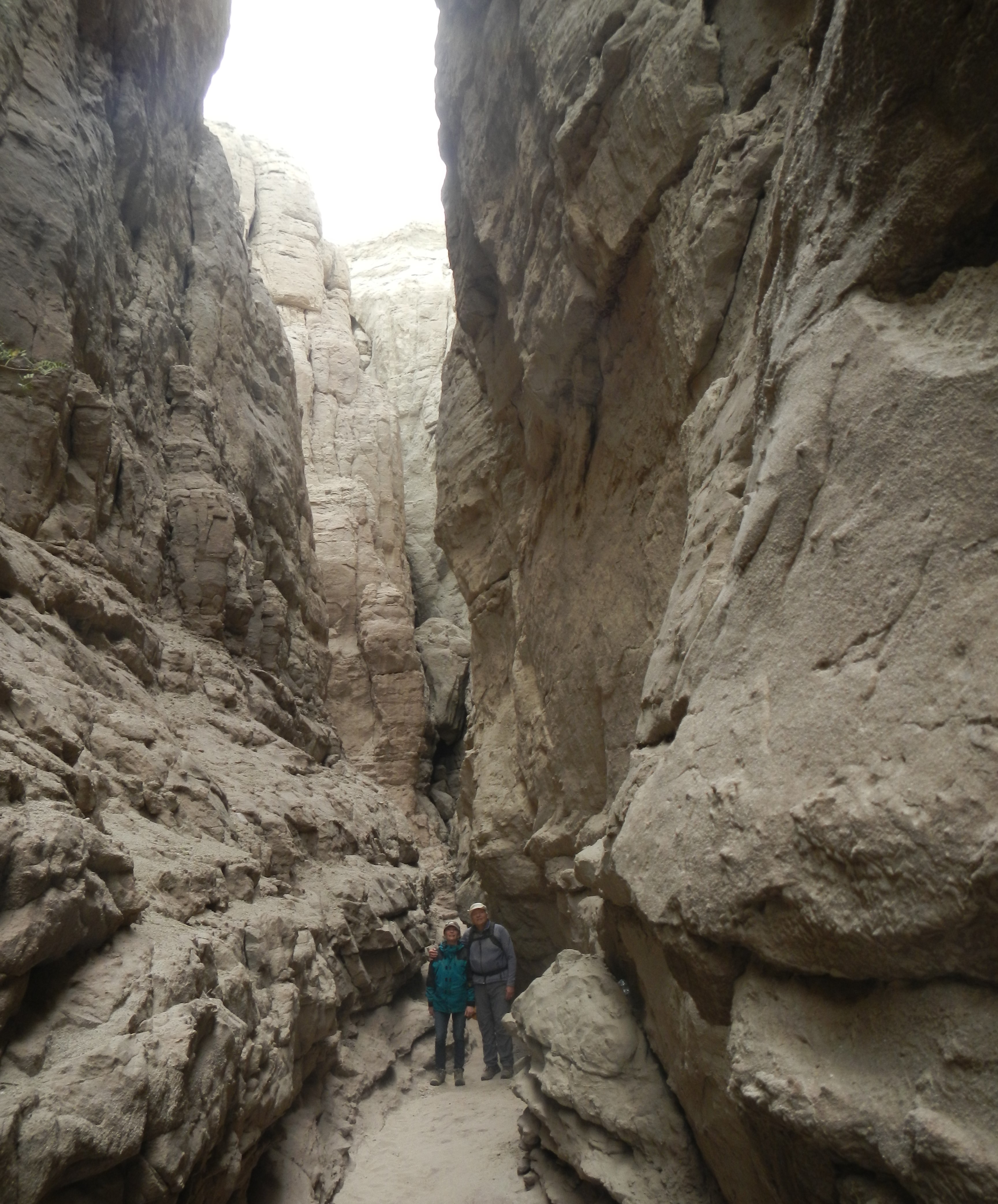
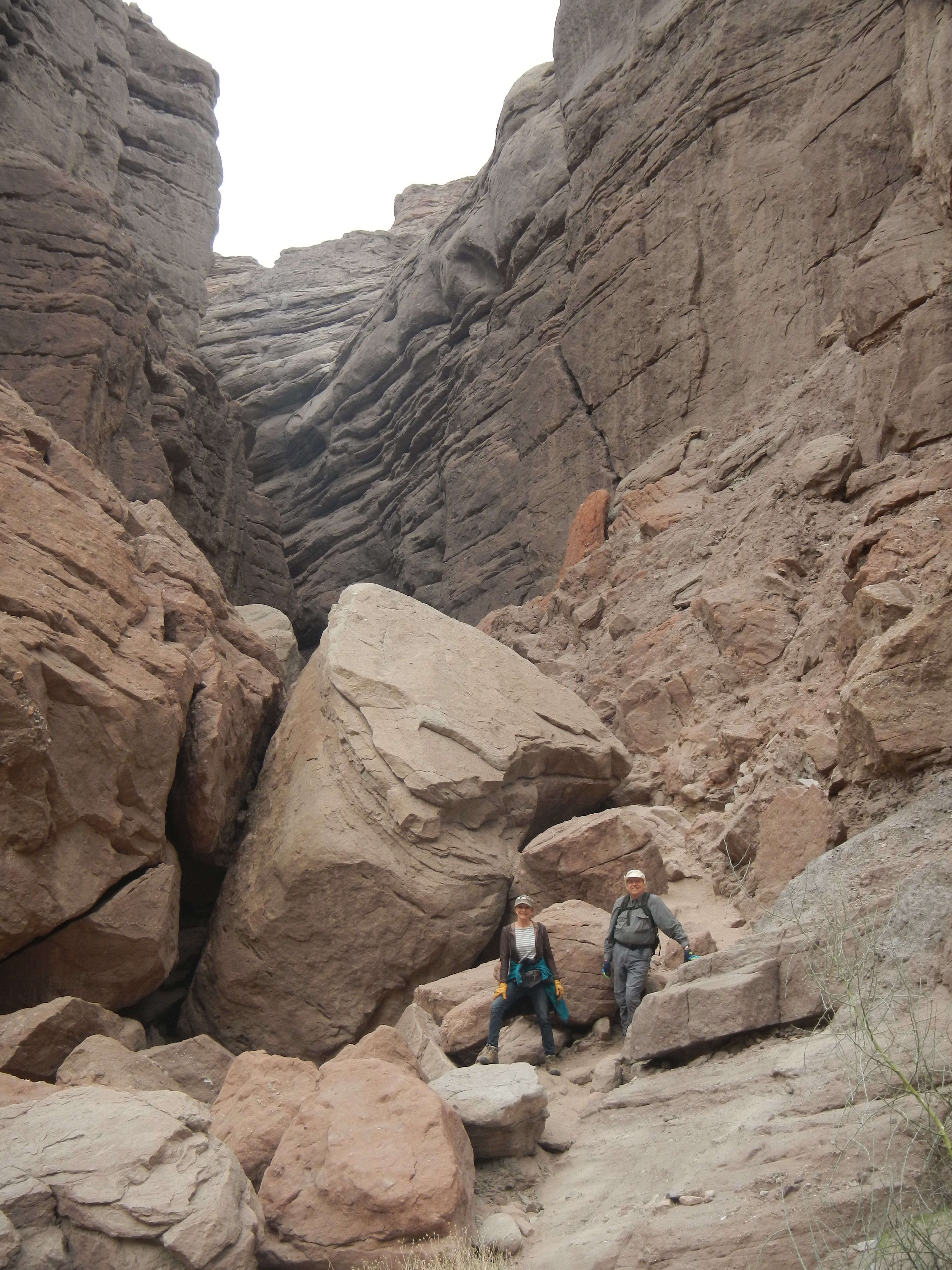
Lots of interesting canyons and variety of Rock Formations to explore.

Cow Camp Valley

Cow Camp Cabin and corral in the distance.  The owners keep it well stocked and open for emergencies, primarily for Cow Boys that might be a long way from their home base.  It is very remote, roughly 35 miles from Mina, not bad in a motorized vehicle but with snow or on horse back it would be a welcome and possibly life saving retreat.

Cow Camp Valley 2Cow Camp CabinCow Camp RZR

Jim, Cindy, Drew, Doug and Bruce.  The tall structure holds well pipes, presumable for changing water levels.

Cowbo Cabin Cindy

Cindy writing in the log book, all the comforts of home in this remote cow camp.  The door was locked with a nail.  We left our name in the log book, replaced the nail in the lock and left it as we found it.

Guzzler Defender Overview Doug

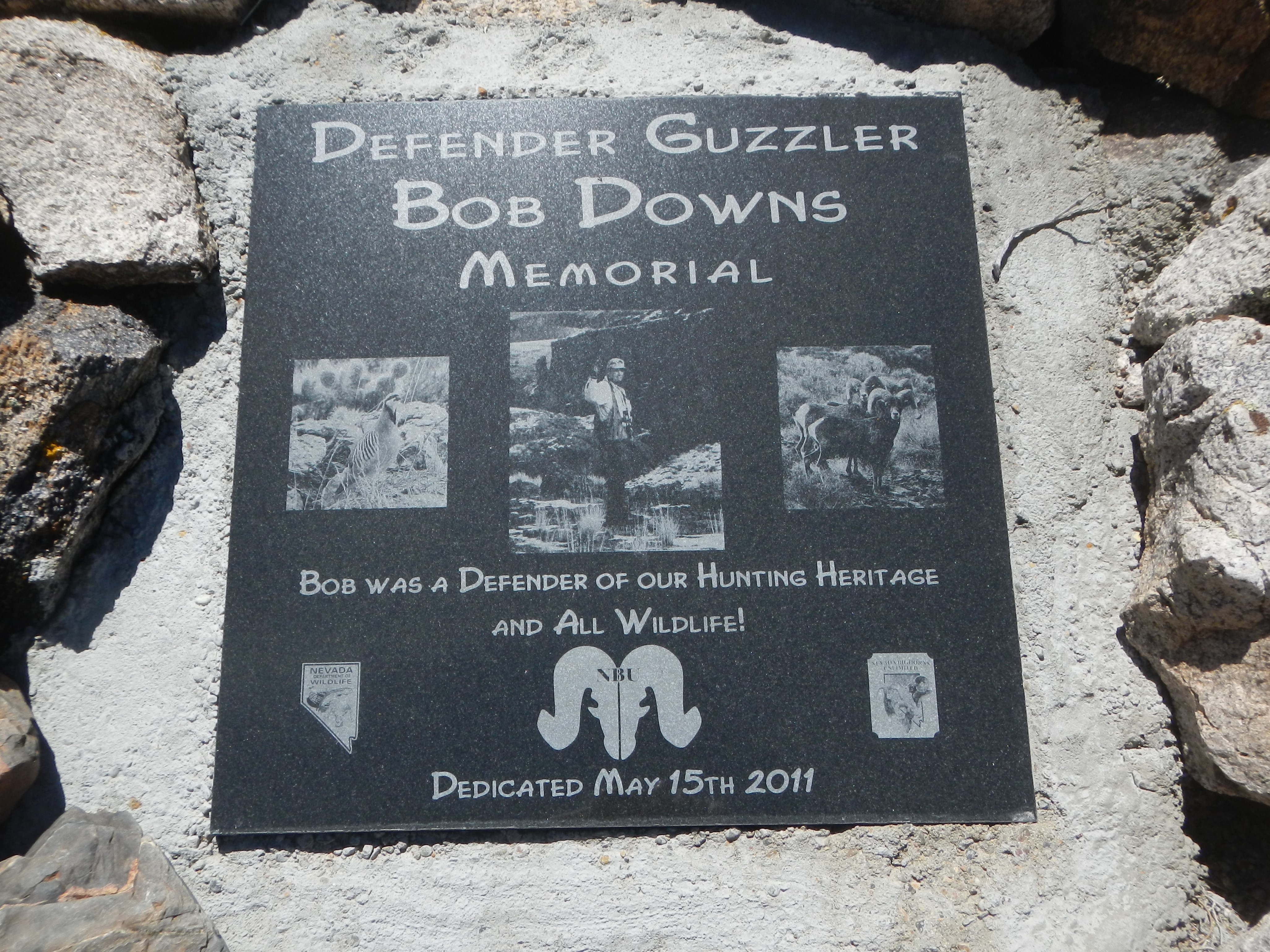
On the way to the Bass Cabin and Bass mine you pass this unusual complex of structures.   The book notation on this section of trail mentioned it and suggested a stop.  They are called Guzzlers.  Apparently there are 1300 of these installed all over the Nevada Mountains. This one is called the Defender Guzzler named after the Defender Mine just up the hill from this site.   Apparently they are placed in high mountain passes to help water the wild Big Horn mountain sheep.  The fence keeps Burros and wild horses out, but the Big Horn sheep can enter.  The center area of concrete has a basin that holds water.  The large dark structure to the left is a rain catchment system that drains into a number of large plastic cisterns buried under ground.  Apparently the water is stored in the large cisterns and it drains into the basin for the Mountain sheep to drink during the summer so they can stay up in the high country and survive.

Guzzler Defender

Bass Cabin SwitchBacks

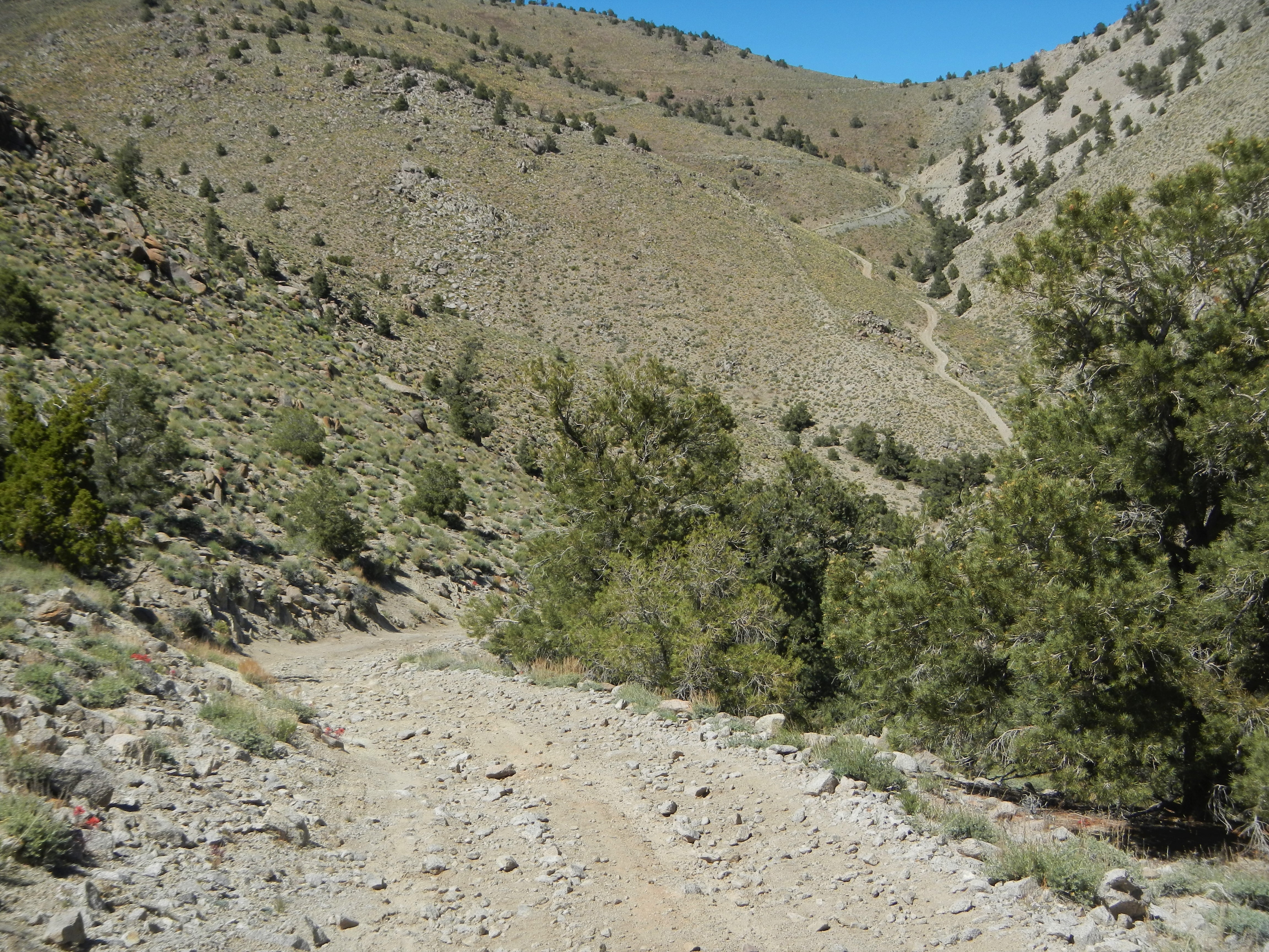
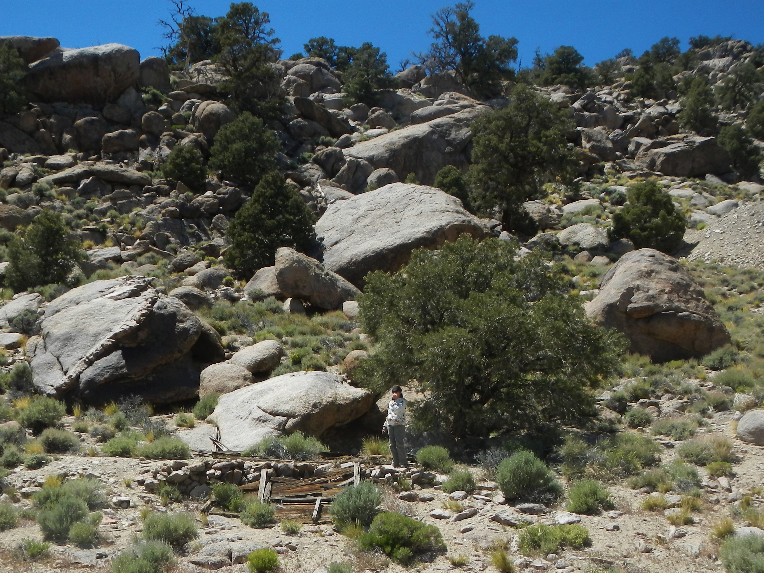
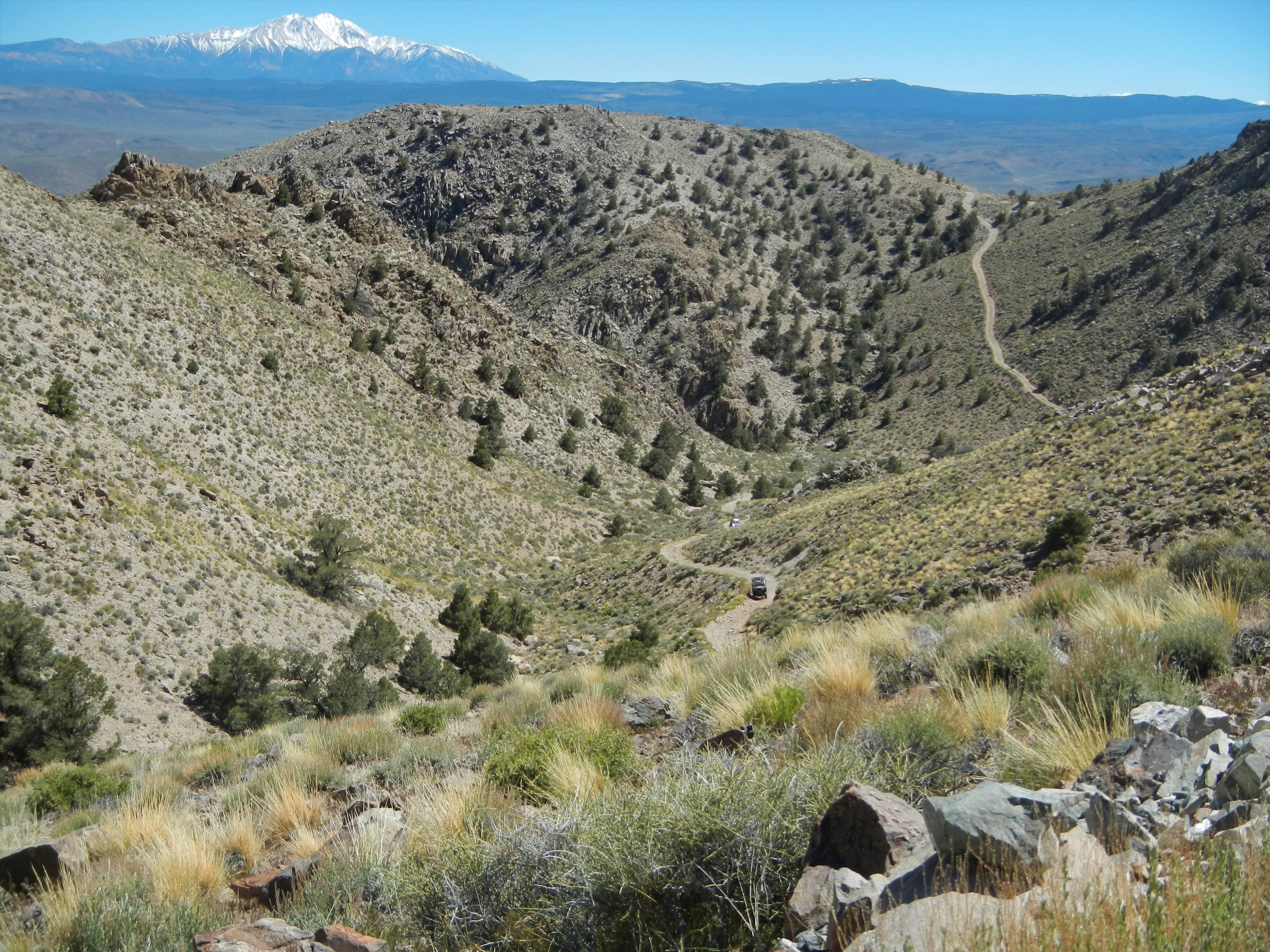
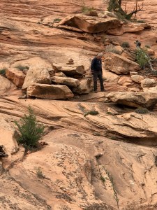
Narrow, windy and steep rocky trail going over two passes to get to the Bass Cabin and Bass Mine.

Bass Gold Mine

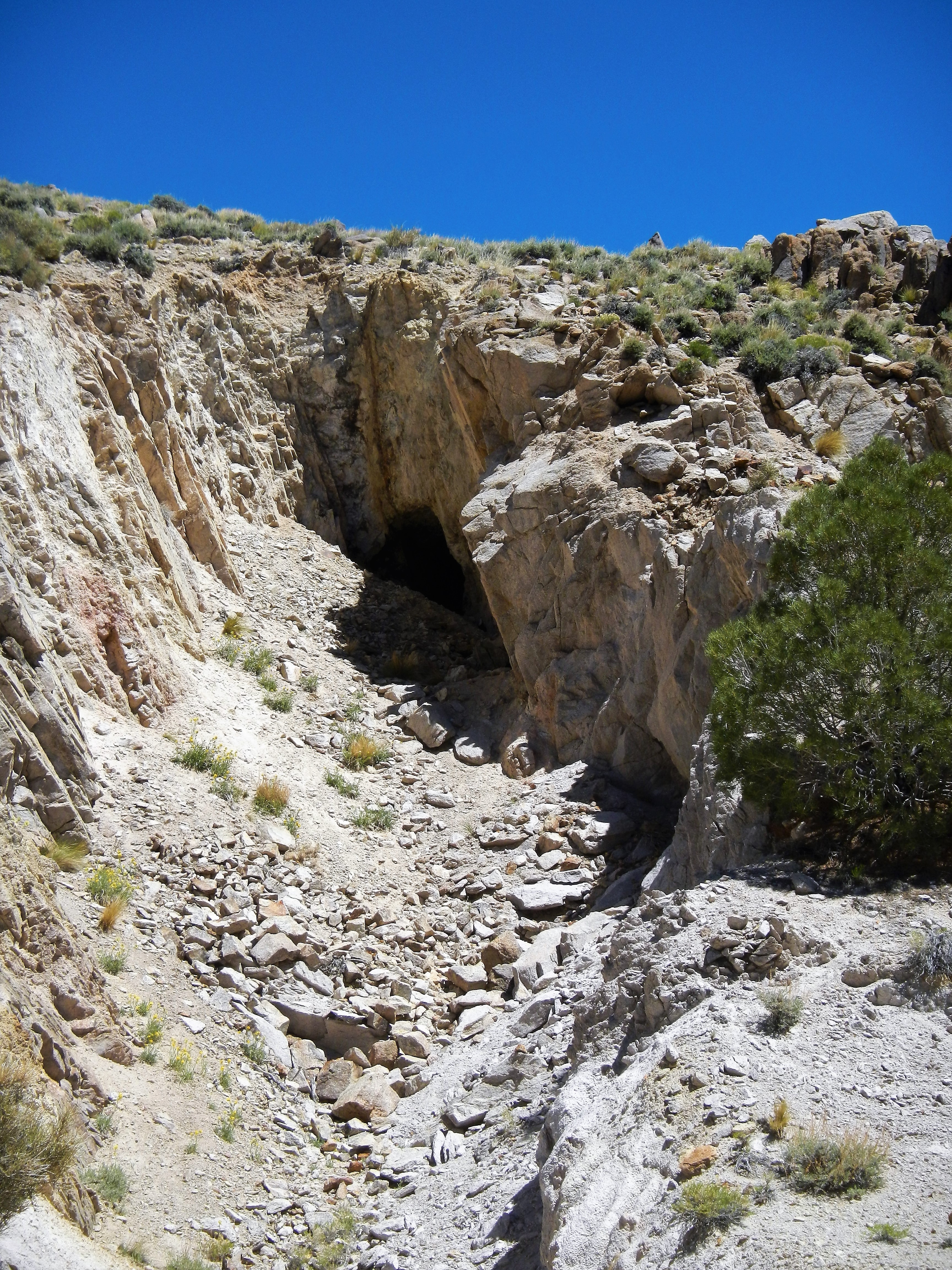
Bass Mine shaft opening

Bass Mine Robert Duncan

Robert driving to the Bass Cabin down the hill from the Bass Mine opening.

Bass Cabin Cindy Sypherd

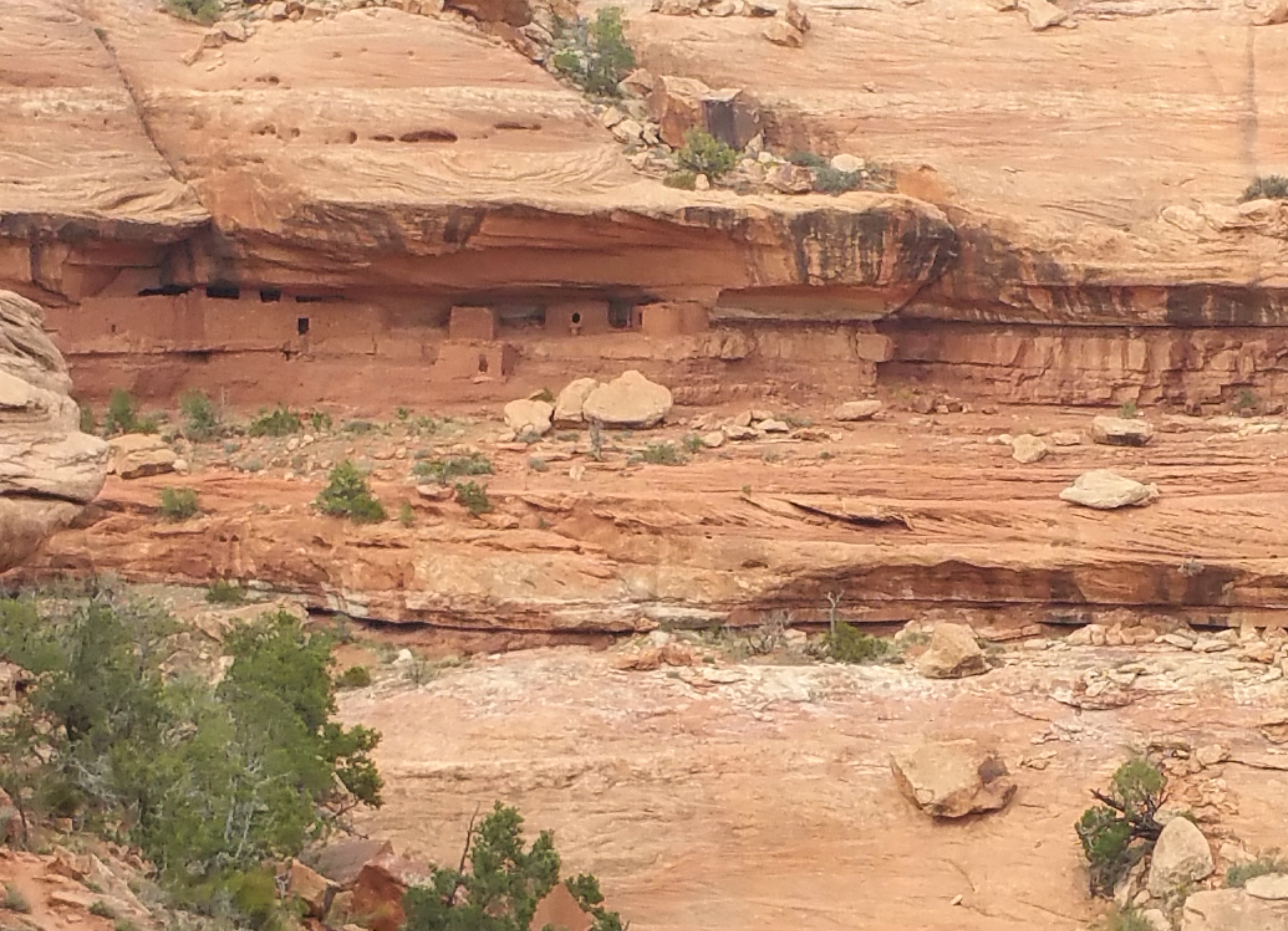
Cindy asks Drew if he could “FLIP” this house.  It has a gorgeous view.   Quiet neighborhood.

Bass CabinBass Cabin Under Rock

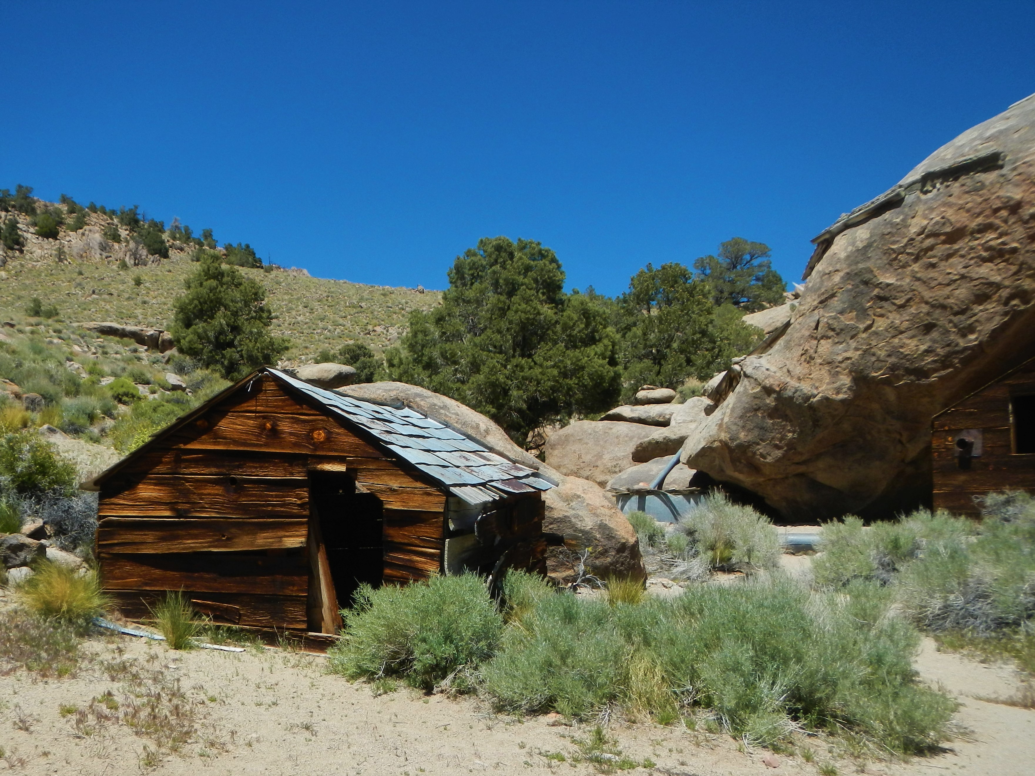
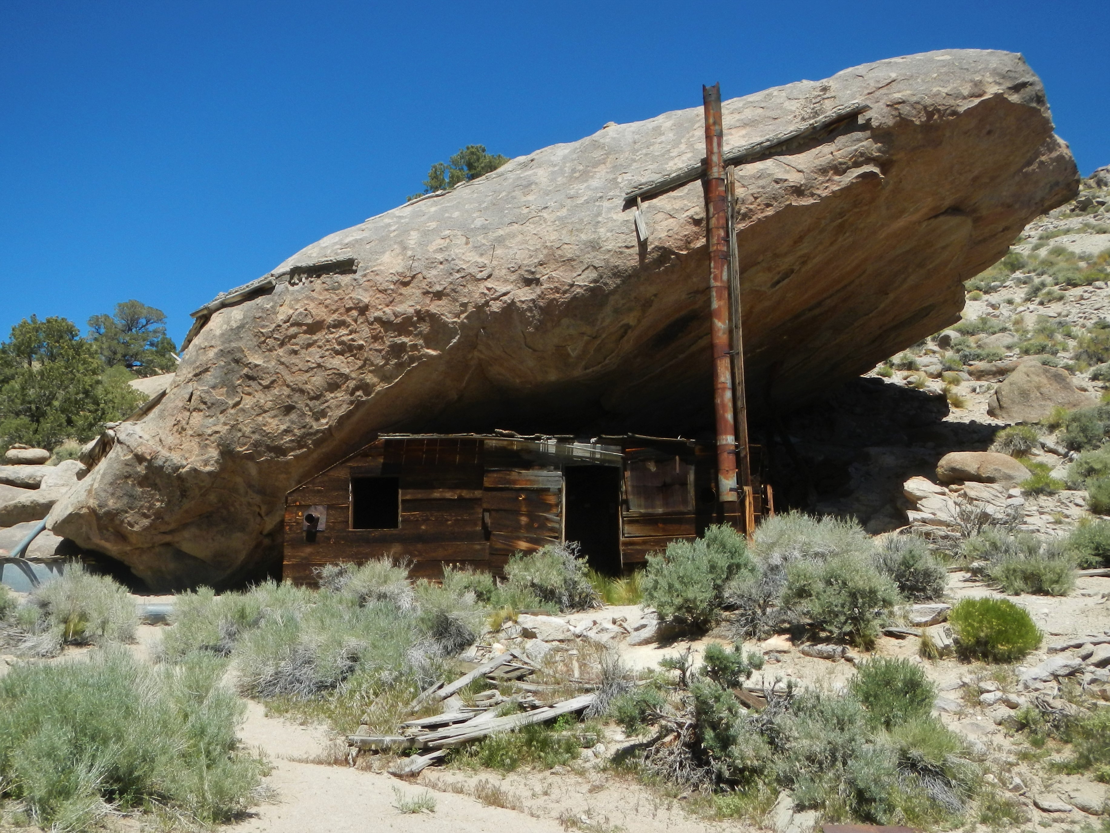
Bass “under the rock” cabin.  30 year roof.  The rock protects it from the weather and was very comfortable inside.

Bass Cabin Water Collecting System

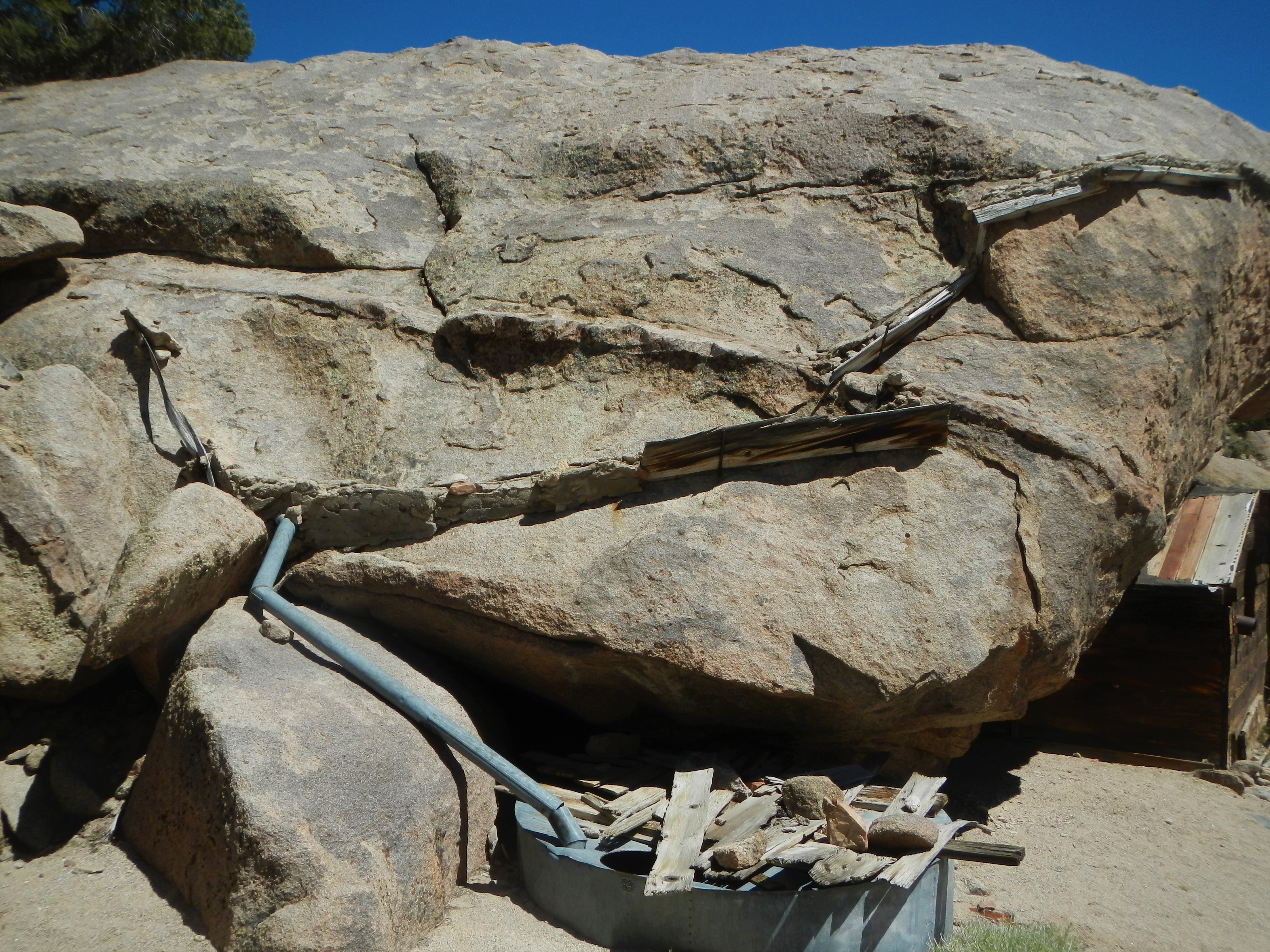
This ingenious system collects rain water from the edge of the rock and stores it in the Silver cistern below.

Bass Cabin GeoCache Cindi

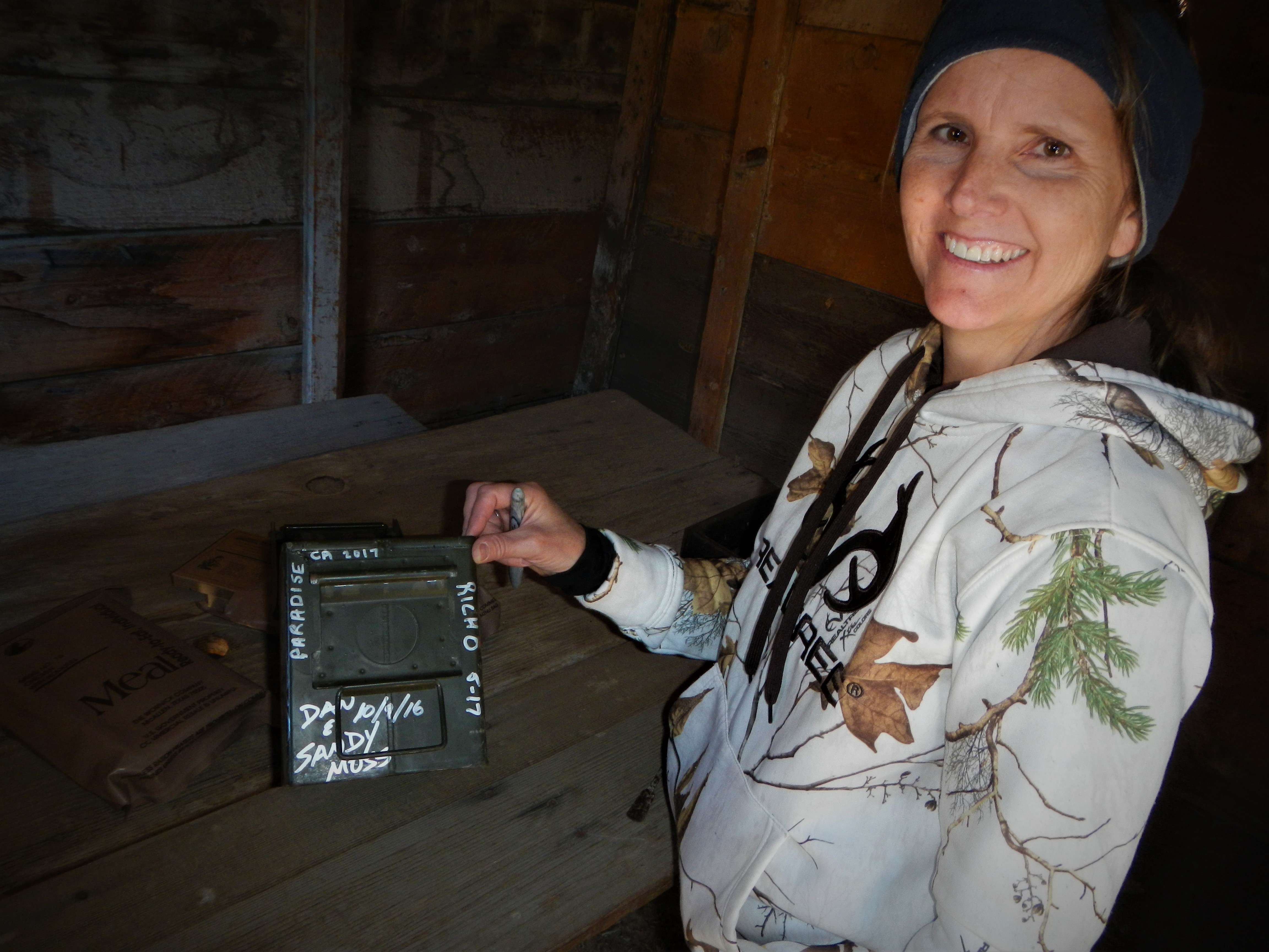
Cindy logs our visit (Parasise 2017) on the Geocache box as the Log book is missing.

Bass Cabin Geezer Patrol

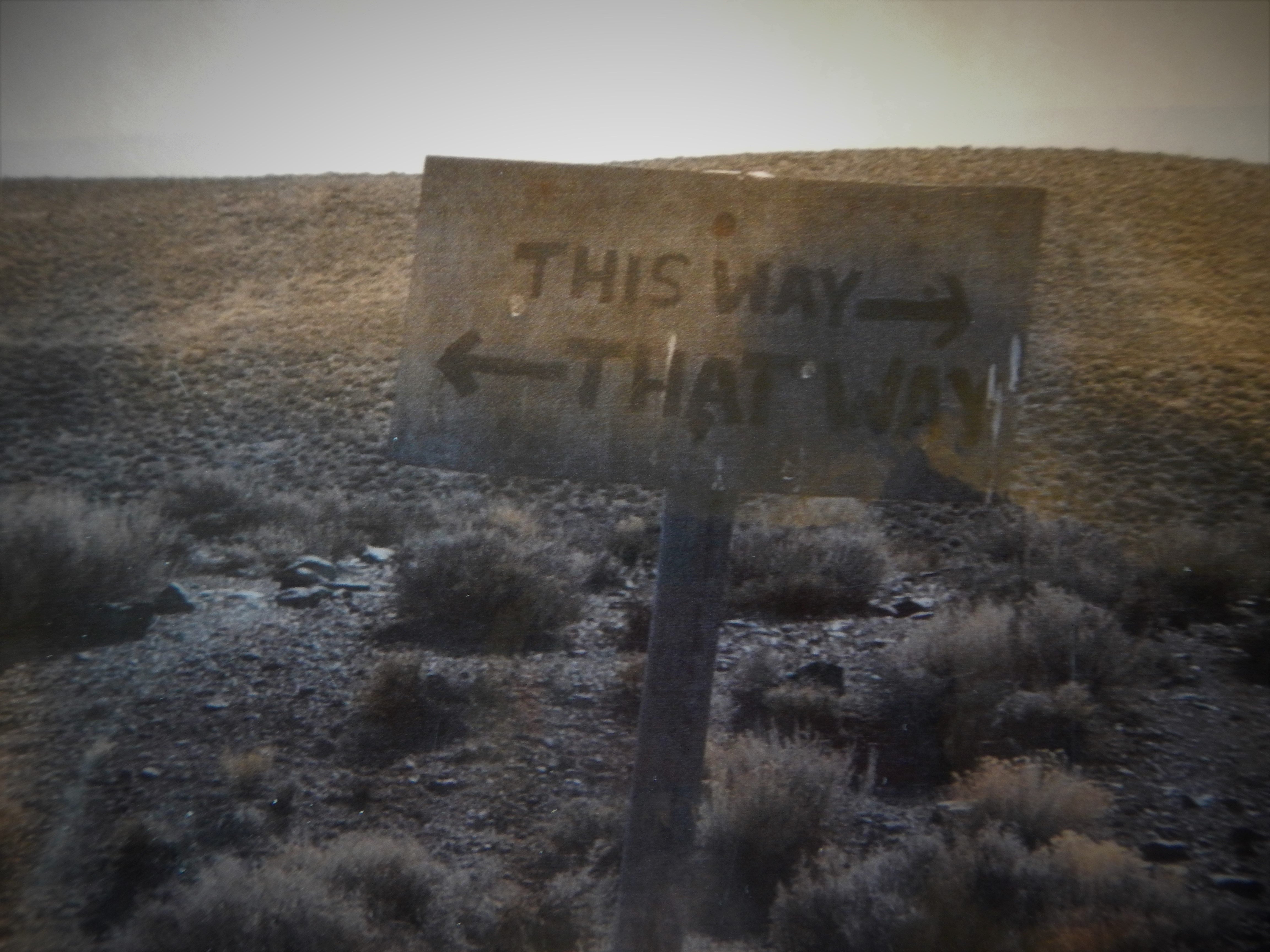
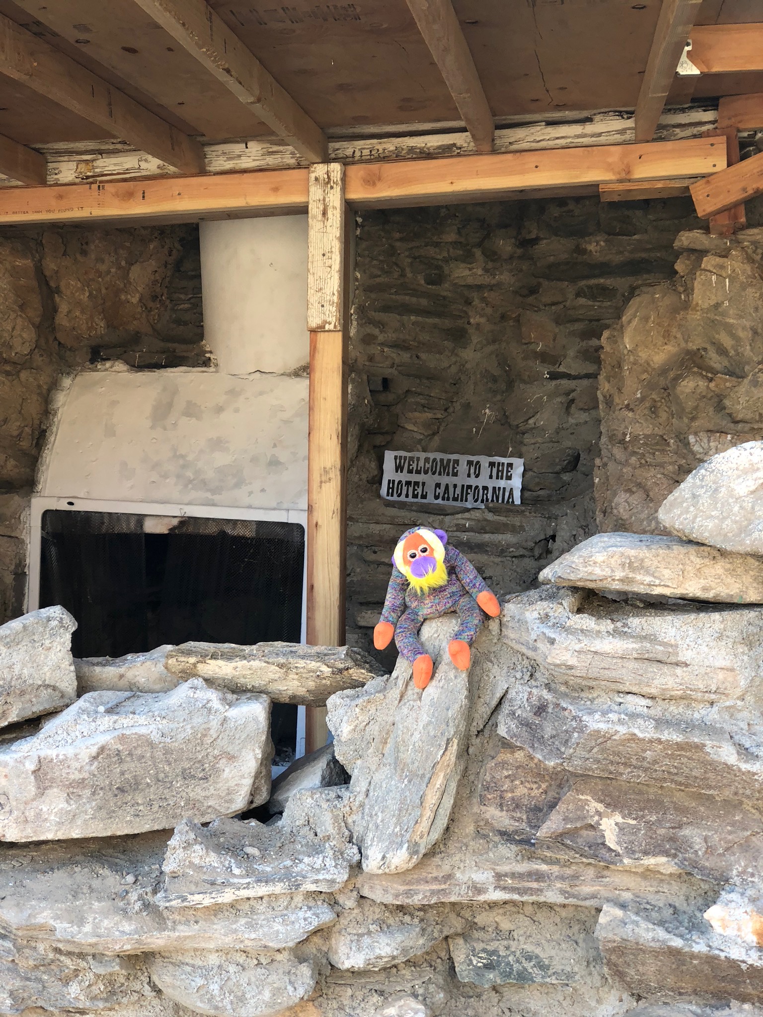
One of numerous business card stuck on the wall.  I like his thinking.

Bass Cabin Switch Backs Drew Cindi Robert

Looking back where we came, Drew in center and top of Roberts RZR around corner.  Just missed Jim on his ATV.

Wild Burros

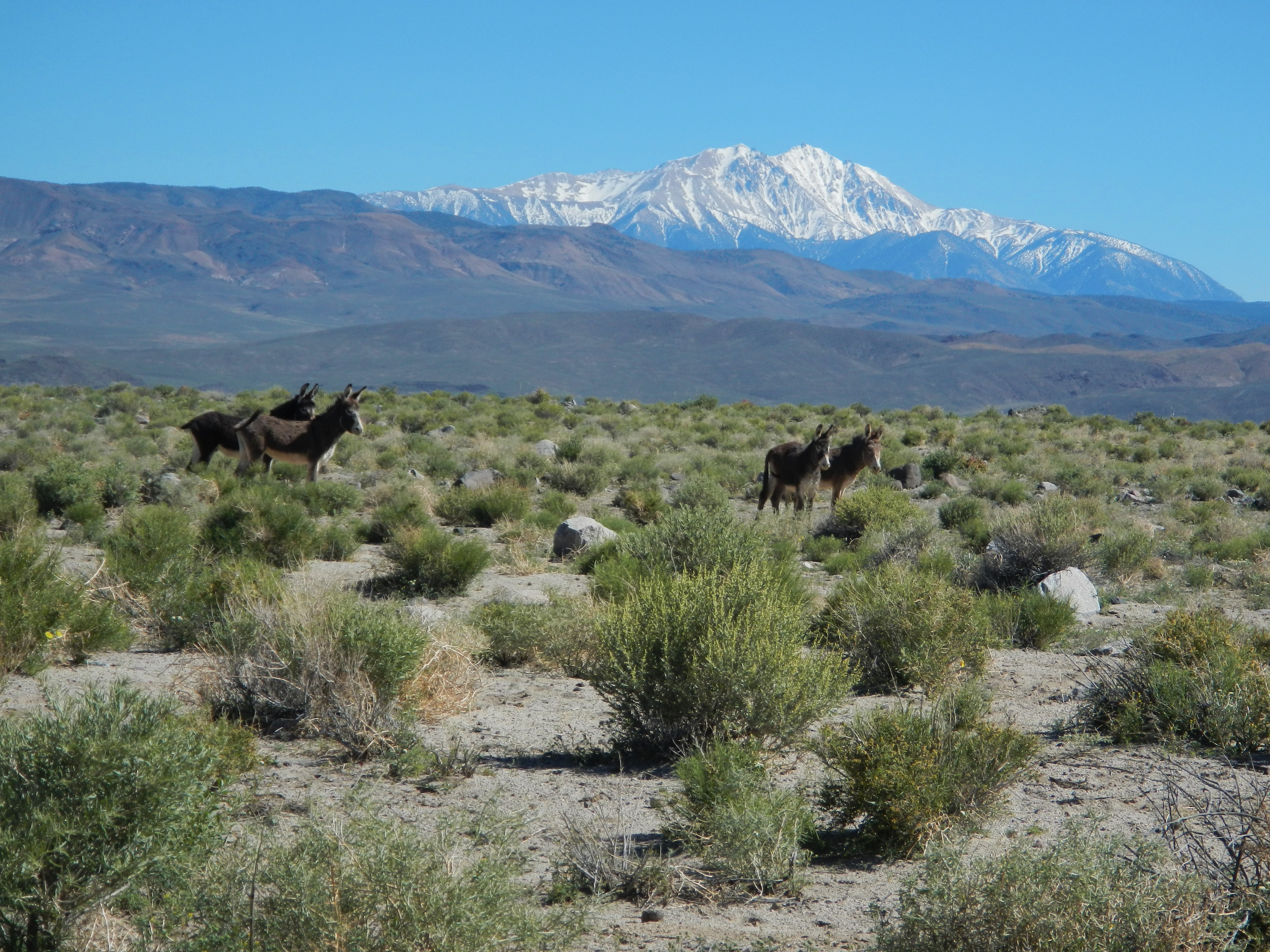
Lots of Wild burros thought we were quite interesting.

Wild Burro SignMoho Canyon Group

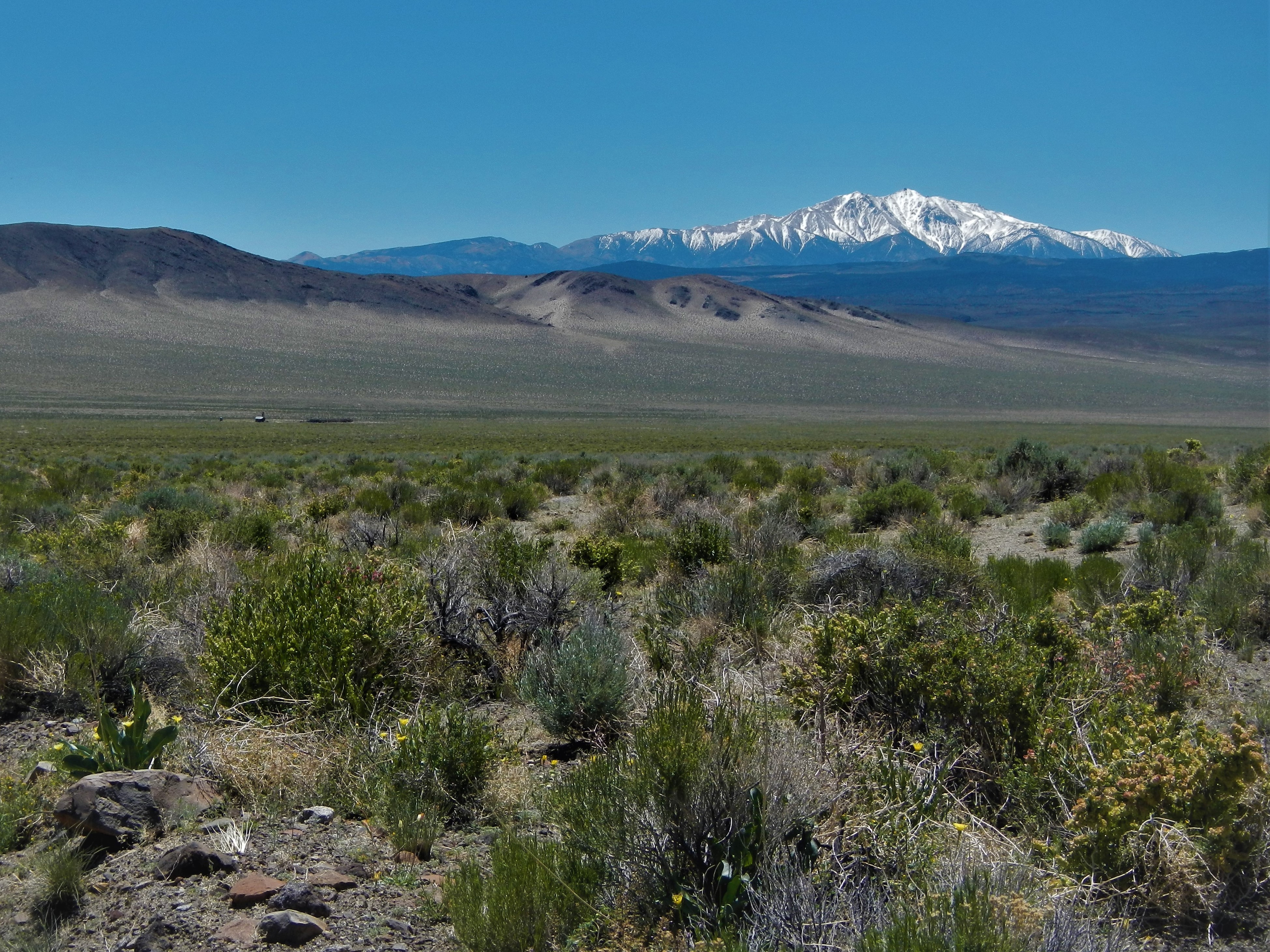
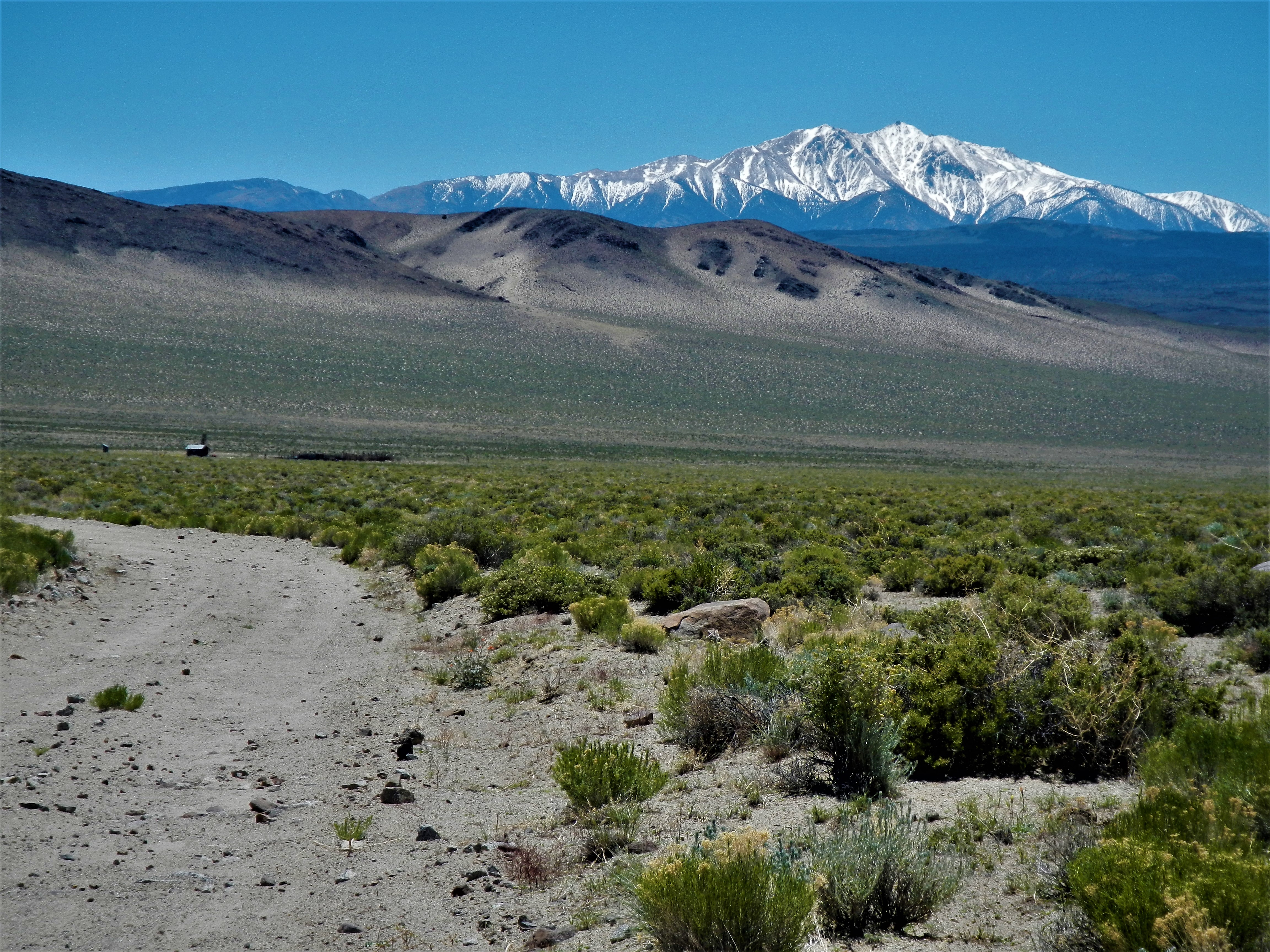
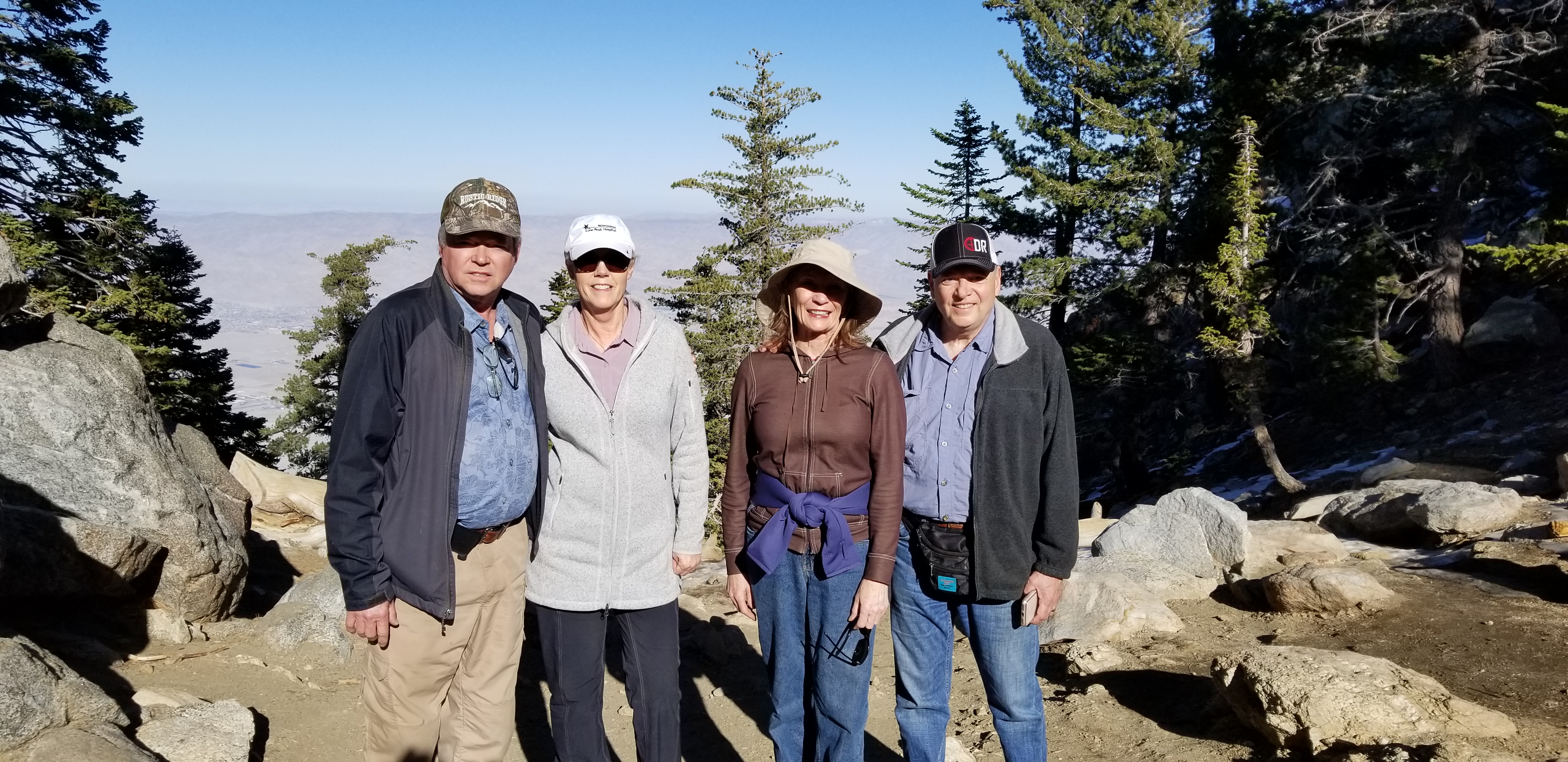
Looking over the town of Marietta and Garfield Flat and Teels Marsh.   Group now heading down Moho canyon.  Cindy, Doug, Jim, Drew, Gary, (left to right) Bruce is on the far left fussing with his RZR in yellow cover-alls.

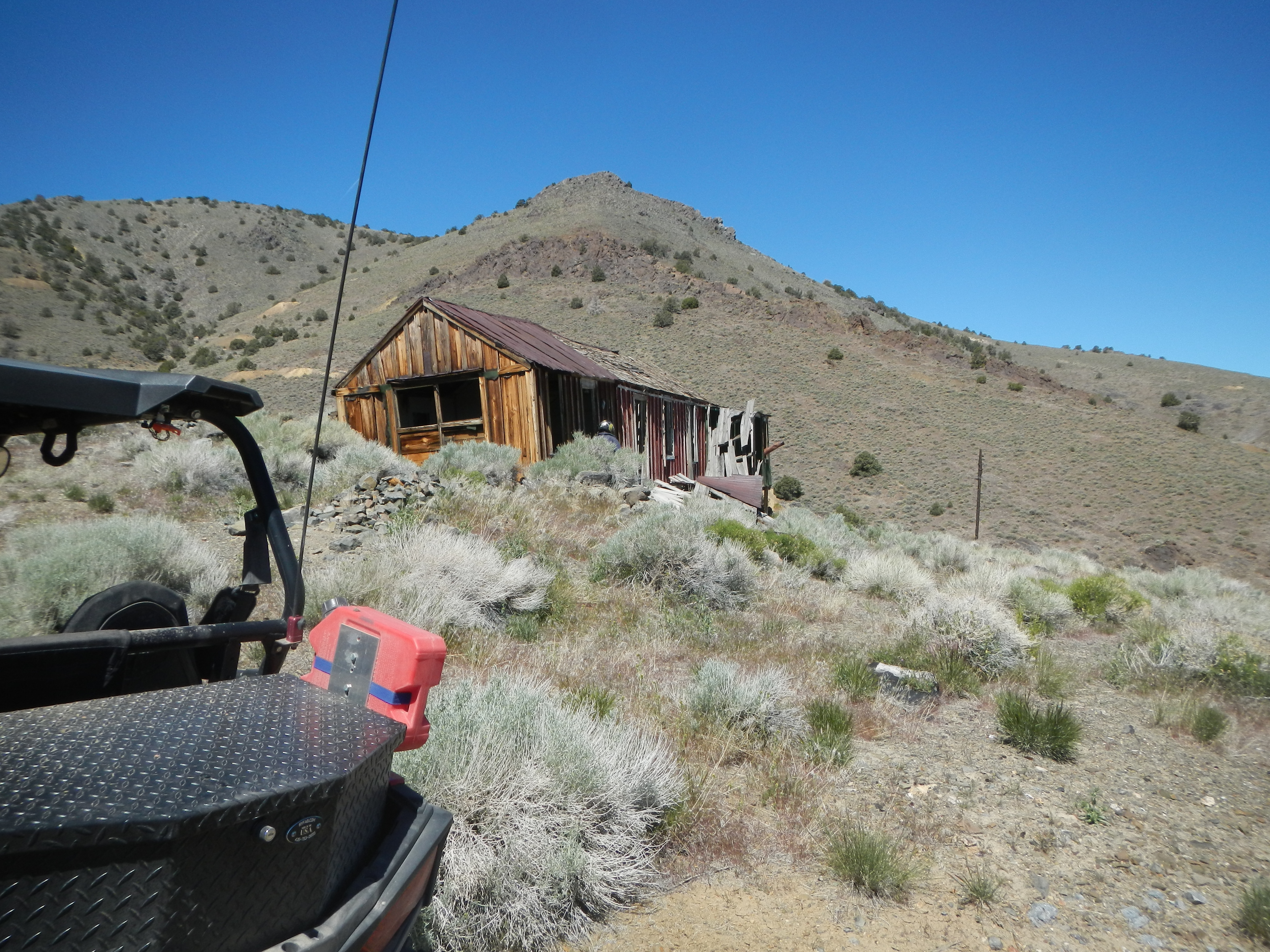
Saturday Day #3  Douglas mining complex

We were going to try riding over Thunder Mountain to the Silver Dyke Overlook and then down Moho Canyon but got side tracked on these mines in the Douglas mining complex.  There were multiple buildings in various levels of decay probably 30 – 40 mine shafts.  A guy with his truck and RV trailer were still digging in this area.

Douglas MineDouglas Mine Shaft

Douglas Mine Shaft 2
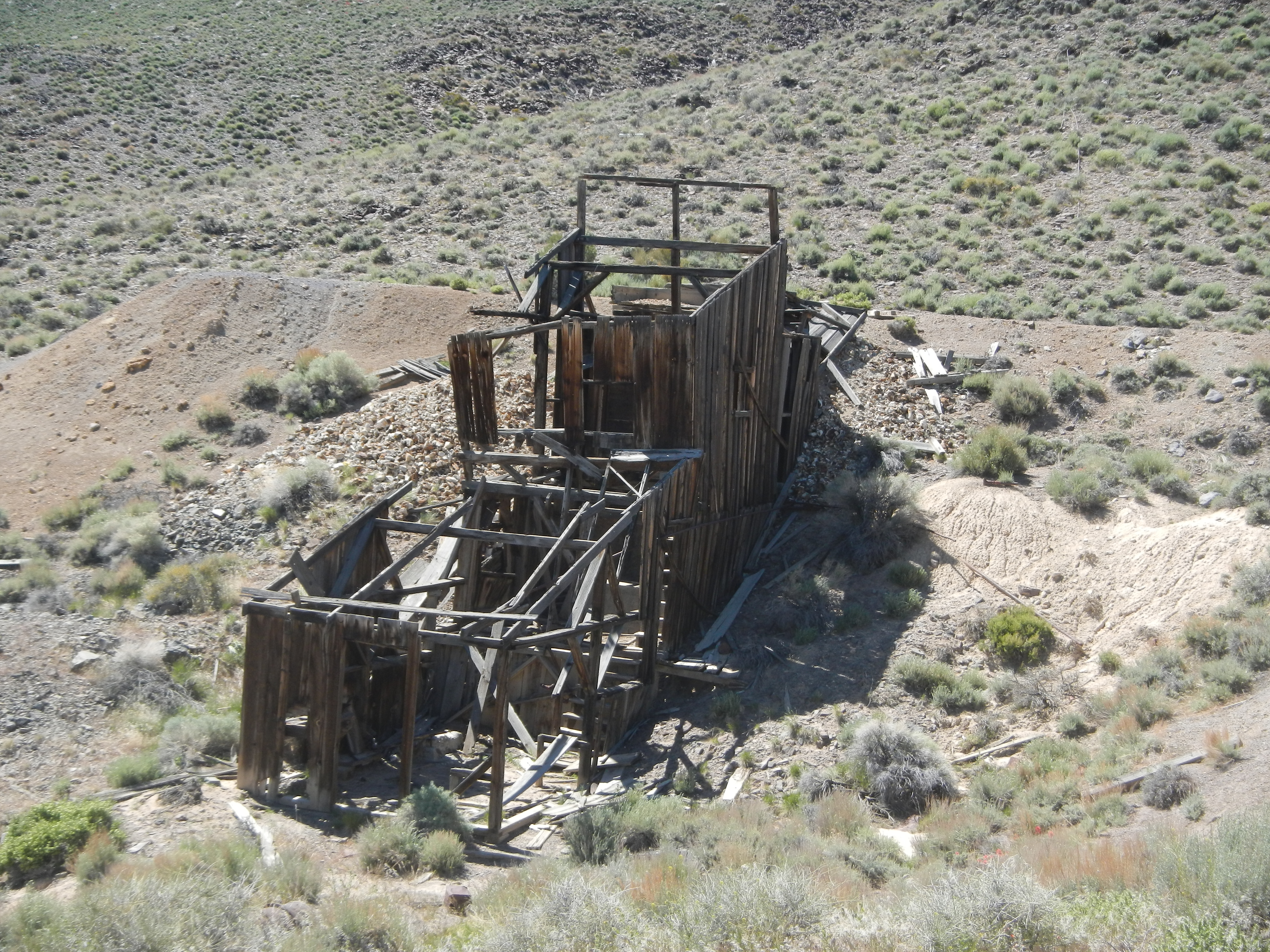
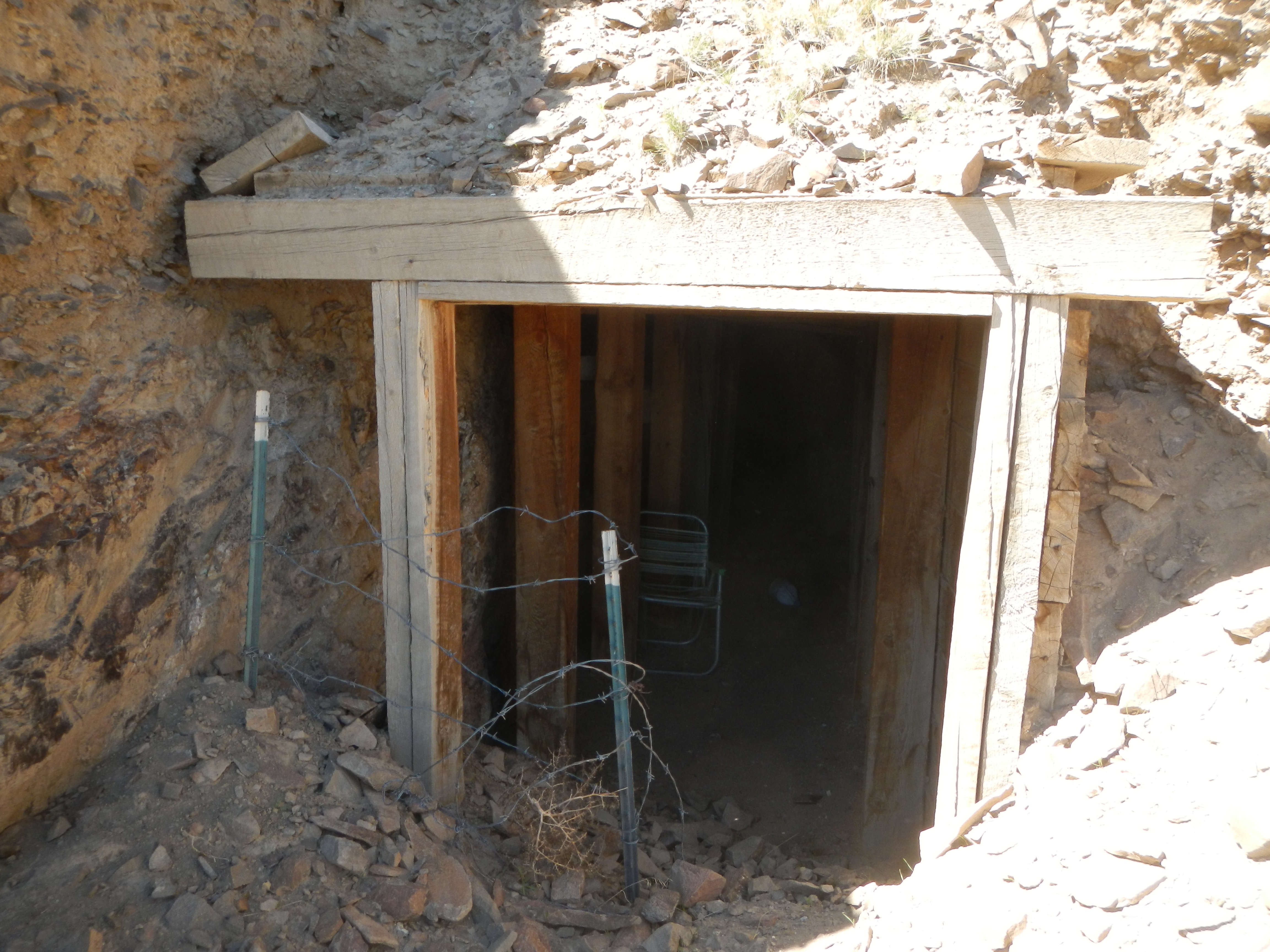
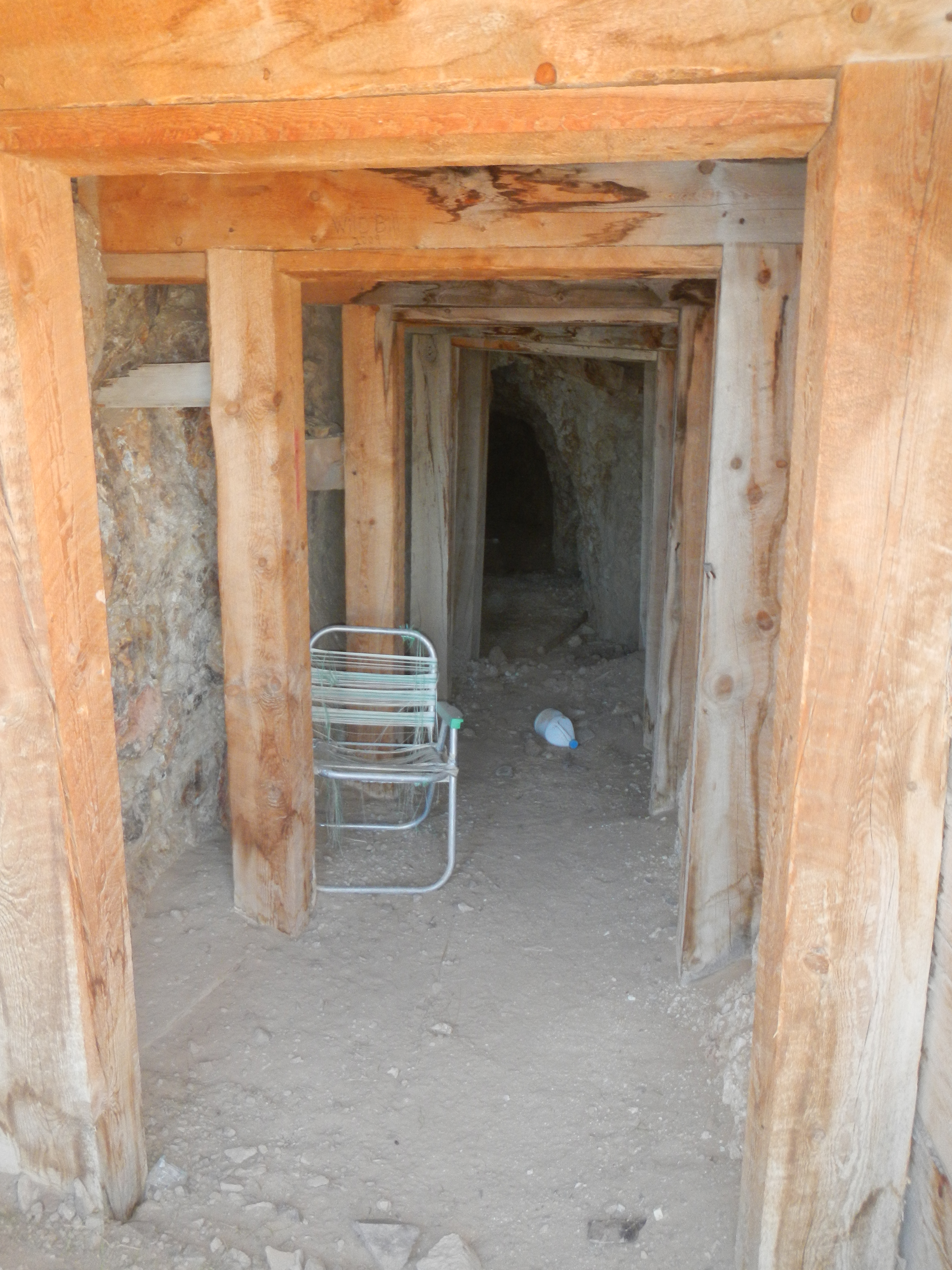
Not really sure the exact name of this mine, but the timbers are very well preserved before getting back to the hard rock section.  Very cool place to sit in your “lawn” chair.

Douglas Mine Area

Part of the Douglas Mine  Complex on Thunder Mountain.

House on Fire/Moon House Ruins Apr 2017

After dry camping overnight in Combs Wash on highway 95 below Blanding Utah we rode up to Walnut Knob petroglyphs and then on to House on Fire ruins.

Petroglyph Rock

Pictoglyphs6

Pictoglyphs5

Arrow Heads Pottery Shards

Collected pottery shards and arrow heads found near the base of Walnut Knob

20170408_110109

Upper Mule Canyon trail to House on Fire Ruins

20170408_103321

Ron and Lyle at House on Fire Ruins.   We were there at the best time but it was over cast, dampening the “ON FIRE” look to the rocks.

Ron Mark Terrie House on Fire

Ron, Mark and Terri

Terrie House on Fire 2

Terrie at House on Fire Ruins in Mule Canyon

House on Fire Ruins 2

House on Fire

Scragly Tree

Moon House Cross Canyon2

Moon House Ruins across the canyon.   Multiple rooms and multiple other dwelling further up and down this canyon.

20170408_15474920170408_154042

Mark, Ron and Lyle Hiking into Moon House Ruin canyon

TerrieMark Moon House Climb2

Mark and Terrie descending into the Canyon

Moon House Ruin Trail

Lyle Climbing Moon House CYN

Ron Moon House Ruins

Moon HouseMoon House below

Moon House, 1/2 of the way down the canyon sidewall

Moon House Alternate Ruins

Additional Ruins down the canyon further

Two Ruins West of Moon House2

Additional Ruins up the canyon

MarkTerrie Moon House

Solstice Markings

Painted Solstice snake and marker.

Inside first Wall Moon House

Inside the outer “second” wall.  Painting on far wall.Additional Rooms Moon House

Lyle Ron Climbing Moon CYN

Ron and Lyle on the way back out of the canyon

Moon House Ruin Trail2

Hole in the Rock Trail East Side and Natural Bridges April 2017

April 7th, 2017 I met my brother Ron Hunt from Colorado and two friends Mark and Terrie Meadows from Northern Utah and camped out at the beginning of the East side of the Hole in the Rock trail.   In 1880 about 250 Mormon Pioneers left Cedar City, Parowan, Paragonah and Panguitch Utah, crossed east thru Escalante and pressed on to the Hole in the Rock on the Colorado river canyon.  After a month of digging, blasting and engineering a road was built down to the Colorado River.  The pioneers then ferried their wagons across the river and moved much further east on their 200 mile trek, eventually stopping on the San Jaun river and founding the community of Bluff Utah.


Map highlighting the entire trail from Escalante to Bluff.  Hole in the Rock Trail.

Navaho MTN 2
Majestic Navajo Mountain

Video of Terrain and Ride, Ron, Terrie and Mark

Ron and Lyle finding the way
Ron and Lyle searching for the trail in very desolate countryRon Down Hill
Ron going down one of the steep RidgesRon Hole In Rock Trail
Ron at the crest of the first hillRon Lyle Selfie
Selfie with Lyle in front and Ron in backgroundTerrie Hole In Rock Trail
Terrie
Terrie Mark Down Hill
Mark and Terrie

Lyle Help Mark over Ledge
Lyle helping Mark over a very steep rock ledge in front of ATV.Hole In Rock Lake CYN sign
Hole in Rock Trail left and East Lake Canyon Trail to RightTerrie UnDaunted
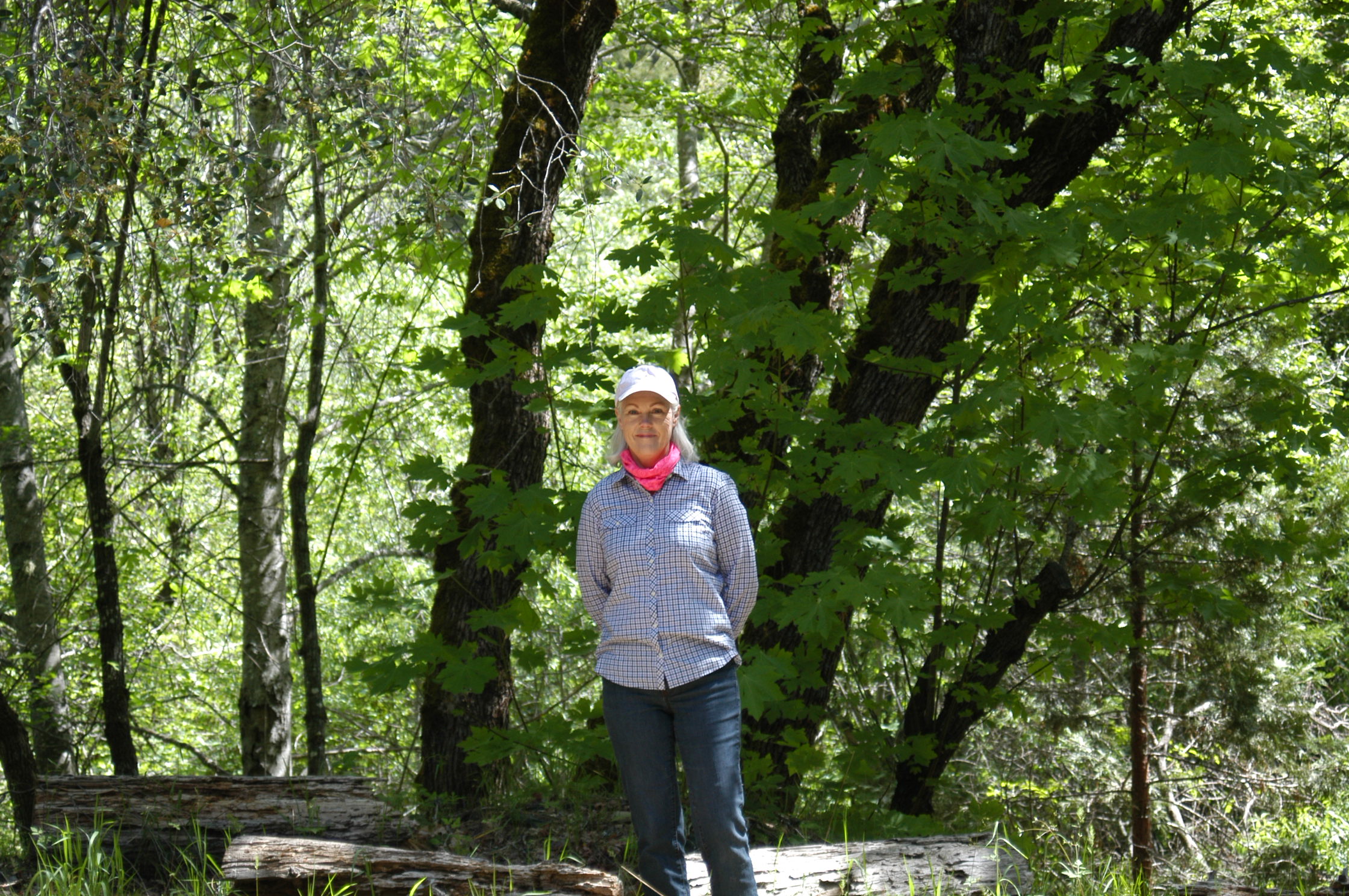
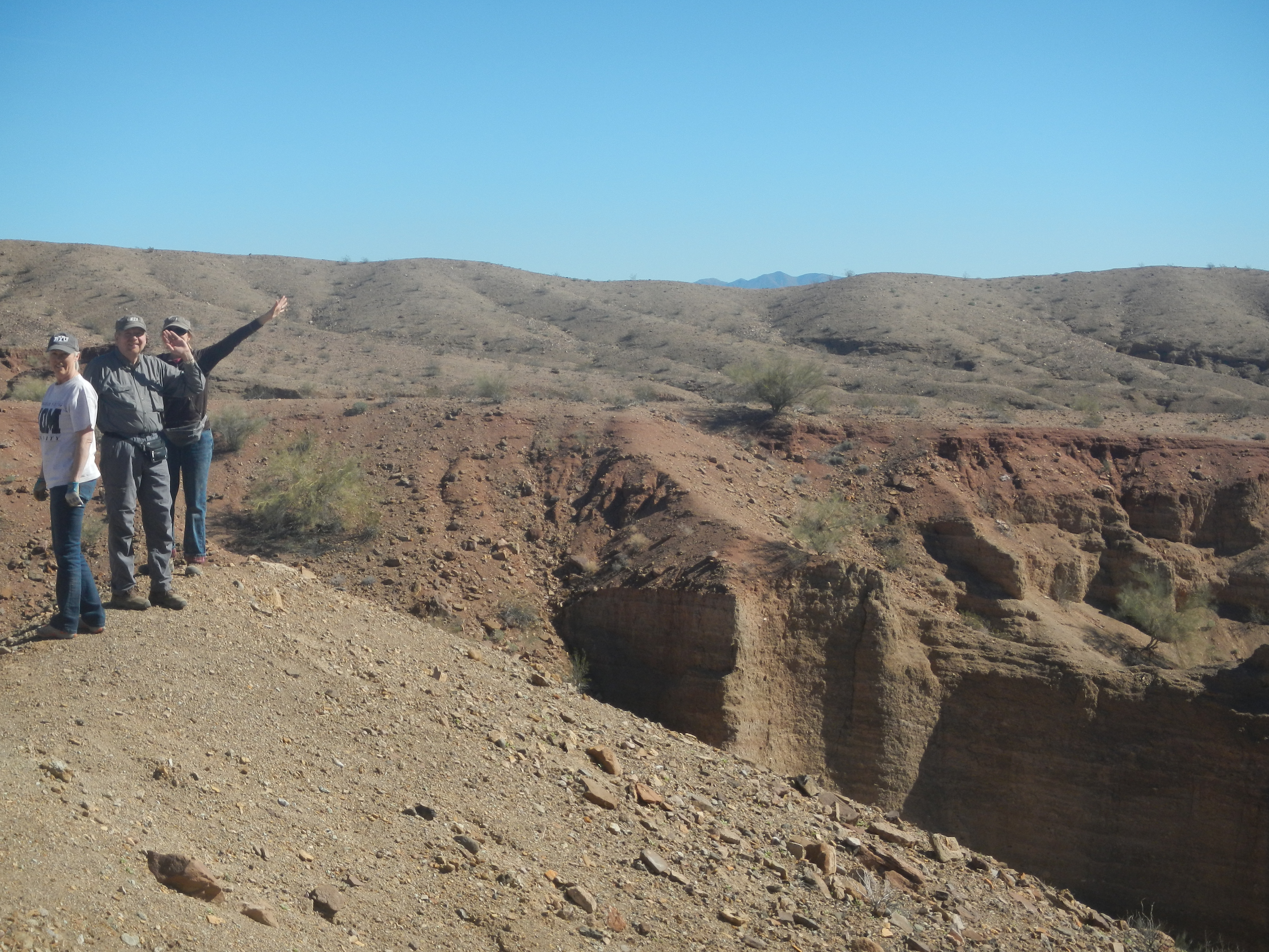
Terrie looking down the Trail
Lake CYN End of Road
End of the East Lake Canyon Trail which has washed out and closed the trail.  The pioneers crossed lake canyon on a similar sandbar which created a lake upstream.  This sandbar washed away and would have made the canyon completely un-crossable.  In recent years this road provided a bypass of lake canyon but as you can see is now washed out.

Capital Reef, Hite and Natural Bridges

Capital Reef Sunset

Sunset over Capital Reef, it was too dark to get any shots.

Camping Near Hite

Camped out by the Colorado River just below the town of Hite’s Ferry.

Hite Bridge 2

Hites bridge over the Colorado River.

Near Hite 3Near Hite 6Near Hite 7Near Hite

Natural Bridges

Sipapu Bridge 4

Sipapu Bridge from the Overlook.

Knarly Tree Natural Bridges

Knarly twisted tree on the trail into the Sipapu bridge canyon.

People on Ledge

Ladder Natural Bridges

Wooden and metal Ladders as part of the trailPeople on Ladder

Sipapu Bridge 2

Backside of Sipapu bridge

Owa

Owachoma Natural Bridge, almost camouflaged

Owa2Sand Stone Waves

Twisted and folded Rock

Glamis North Hot Springs Feb 2017

Glamis North Hot Springs RV park and area

Bat Caves, Oasis, Red Canyon, Pinnacles, Red Canyon Jeep Trail, Chiriaco Summit, Painted and Ladders Canyon, Salvation MTN and Slab city.

Glamis Ding Dong Flag.jpg

glamss-trails

San Andreas Fault and Bat Caves

san-andres-fault-bat-cave

One of many faults, fractures and cave entrances.

critter-in-bat-cave

Scary pair of eyes peer out from one of the bat caves…….. As we cautiously approached the cave, it turned out to be a beer can reflecting light.  Had us going for a bit.

denise-sandi-san-andreas-fault-2

Sandi and Denise at the bat caves and San Andreas fault

denise-sandi-san-andreas-faultshoe-tree

Shoe tree in the middle of the desert

sunset-salton-sea

Sunset over the Salton Sea.

Oasis in the Desert

oasis-doug-sandi-deniseoasis-groveoasis-spring-doug-denise-sandi

Water flows from an artesian well under this fallen tree.

Abandoned Eagle MTN railroad trestle and Red Canyon

doug-rr-trestle

denise-rr-trestlerr-trestle

This railroad trestle was featured in the movie, the Proessionals (1966) featuring Lee Marvin, Burt Lancaster and Claudia Cardinale

doug-sandi-red-canyon

Sandi and Doug at end of the road in red canyon

pinnacles-canyon

pinnacles-canyon-2

Pinnacle Canyon

top-of-pinnacles-canyon

We hiked to the top of the canyon to over look the area.

Red Canyon Jeep Trail to Chiriaco Summit

red-canyon-jeep-trailroad-red-canyon-jeep-trail-2

The Red Canyon Jeep Trail continues on top of the canyon continues off as far as this ridge goes.  The George Patton Museum is also at Chiriaco Summit which is where the headquarters for his Desert command training center was located.

Painted Canyon/Ladder Canyon

Painted Canyon Parking Lot.JPG

Parking lot to the entrance of painted canyon.

ropes-slot-canyon

First Left Canyon is called Ropes Slot Canyon, it is very narrow.  There are three dry water falls that have Ropes to help climb with 2 others that requiring free climbing.

ropes-slot-doug-canyonropes-slot-doug-sandi-canyon

ladder-cyn-begining-doug-sandi

This the entrance to the “Ladders Slot Canyon”.  It is not very obvious but there are clearly marked rock arrow, one points to the ladders canyon trail and the other points up the main painted canyon.

painted-cyn-arrows

ladder-cyn-doug-sandi

Doug and Sandi in Ladder Canyon.  There are numerous dry water falls that have Aluminum and wooden Ladders to assist the hiker.painted-cyn-ladder-2painted-cyn-ladder-3

There are ladders in the main canyon.  The Ladder slot canyon was much narrower.  You can see the various colors of “Painted Canyon”.   The total hike was about 6 miles, I think  going up ladder canyon, coming out on top and then coming back DOWN the painted canyon seemed the best.

trail-tracks-overviewgoogle-earth-rock-arrow-marking-trail

This is a screen capture from Google Earth and you can see the ARROW directing you the way down off the canyon cliff ledge

Salvation Mountain and Slab City

denise-at-salvation-mtn

Salvation Mountain was created by one man, Leonard Knight in Niland California.  Made from adobe, straw and branches and paint.  Salvation Mountain

salvation-mtn-carssalvation-mtn-insidesalvation-mtn-parkingsalvation-mtn-truckslab-city-2

Slab City is right next to salvation mountain.  It is an interesting community.

Slab City

slab-city-community-bulletin-board

Community Bulletin Board, unfortunately from the back side.

slab-city

ATV trip Inskip to Humbug Valley June 2016

ATV trip from Inskip to Humbug Valley  over Humbug Summit.

DSCN0734
Grizzly Campground Bathroom

DSCN0735
Fire Plant

DSCN0736
Dennis Taylor, on Longville Road looking over Humbug Valley

DSCN0737DSCN0738

DSCN0739
Big Spring

DSCN0740
Big Spring flowing into Yellow Creek, west Humbug Valley

Inskip to Humbug
85 miles Round Trip seen in blue.  Butt Valley on right.  Three weeks earlier,  Denise and I rode  from Butt Valley Reservoir (seen in Purple) and turned around at the same spot Dennis and I did, but going the opposite direction.

Video driving RZR on East Side of Humbug Summit.

Butt Valley Reservoir May 2016

Ponderosa Flats CampgroundDSC_1418DSC_1419DSC_1420DSC_1429
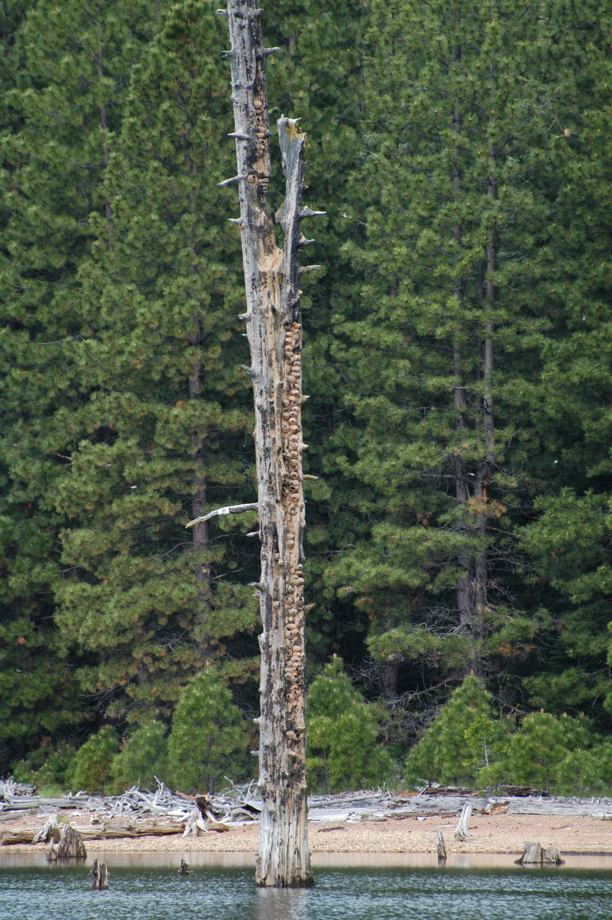
Swallows On Dead Tree in middle of LakeDSC_1412
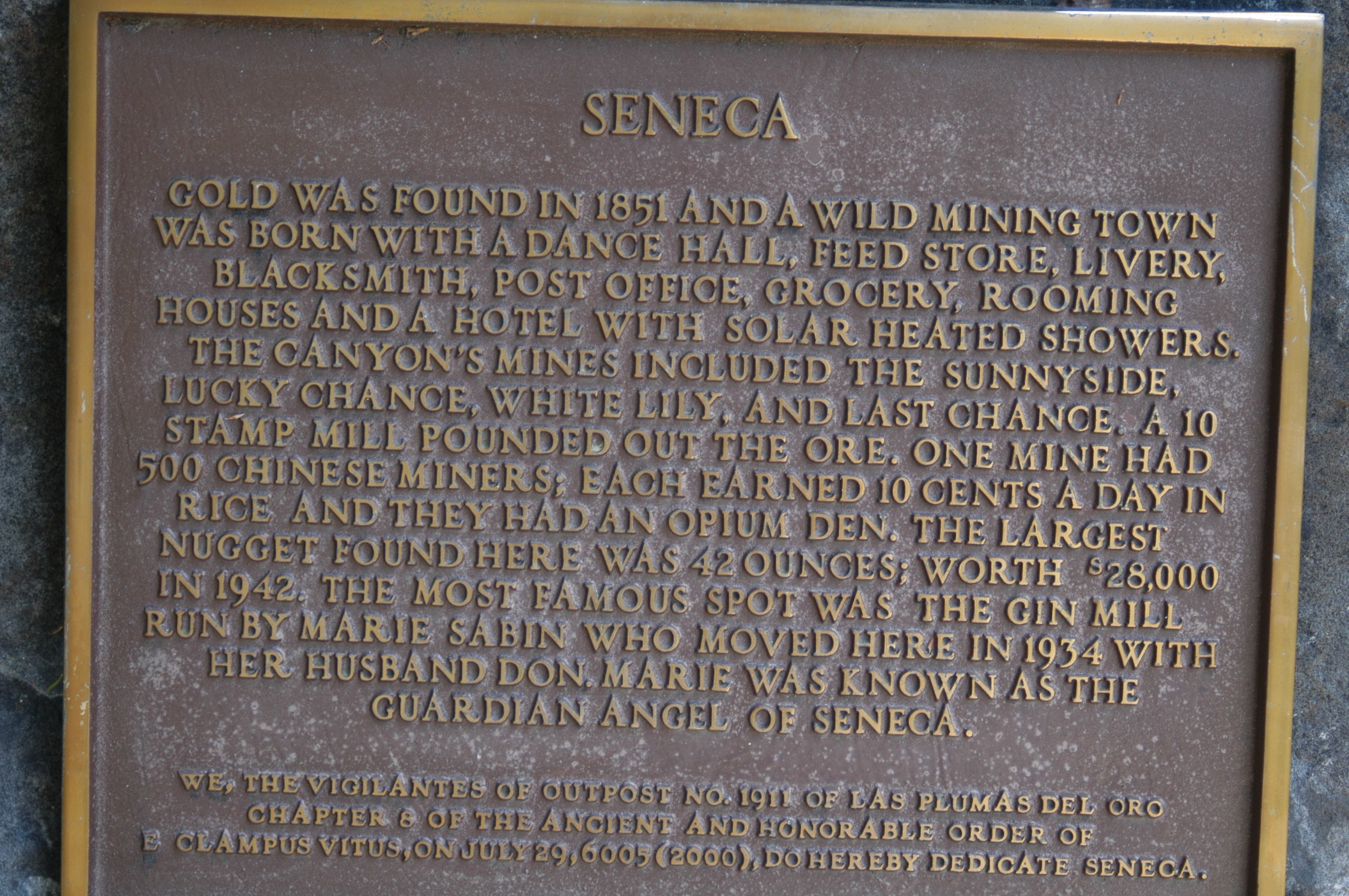
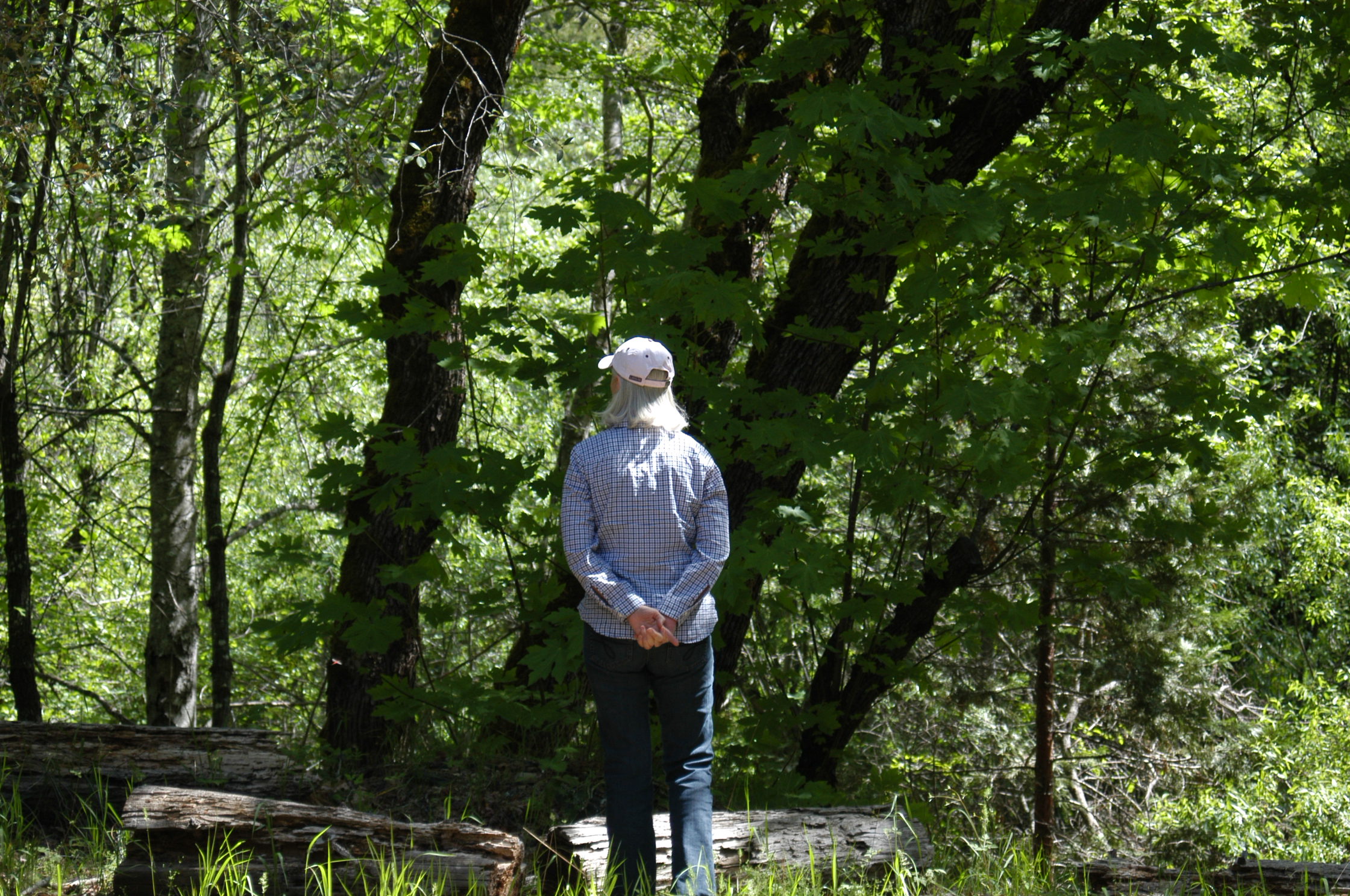
Trip to Ghost Town, old mining town SENECA, started in 1851

DSC_1413DSC_1414DSC_1415DSC_1416DSC_1417DSC_1424

Huge, probably 12 foot diameter pipe the goes through the mountain to Lake Almanor.  Water then travels to North end of Butt Valley Reservoir.  A power plant generates electricity.  Water then travels through Butt Valley Reservoir, drops down Caribou Canyon to another power plant, the across Caribou Canyon through a giant siphon and ultimately to the Beldon Power Plant

DSC_1438

Water Fall in Highway 70 Canyon Butt Valley_Seneca