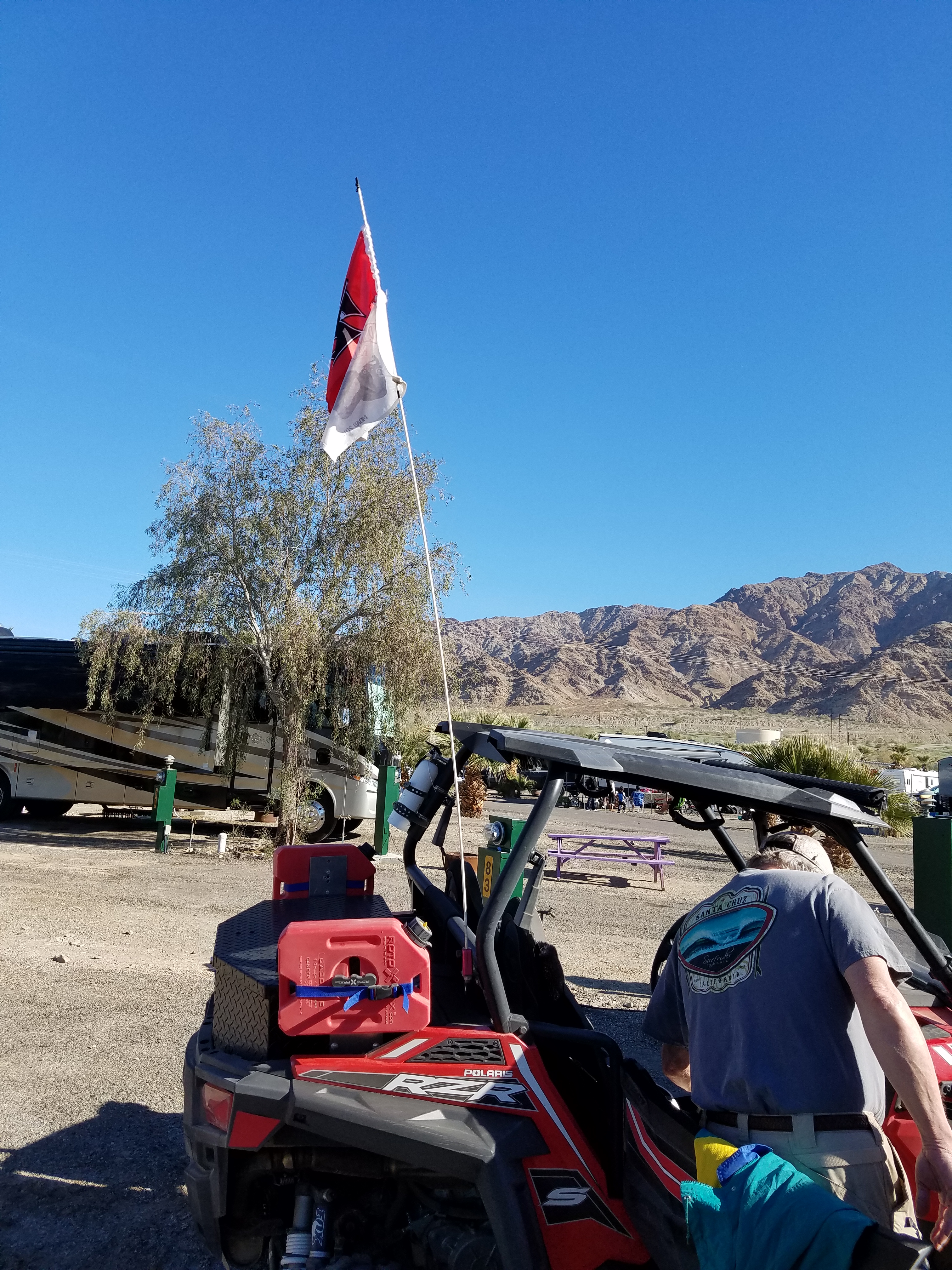
Glamis North Hot Springs RV park and area
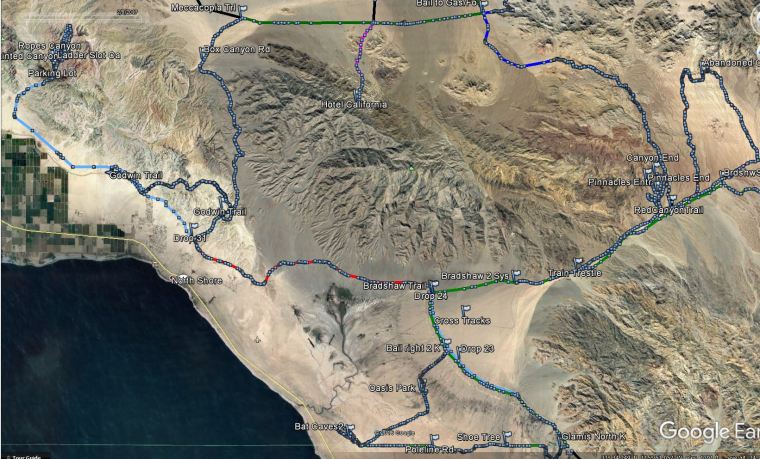
Bat Caves, Oasis, Red Canyon, Pinnacles, Red Canyon Jeep Trail, Chiriaco Summit, Painted and Ladders Canyon, Salvation MTN and Slab city.
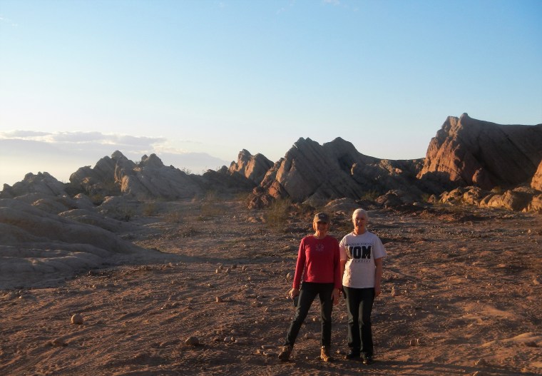
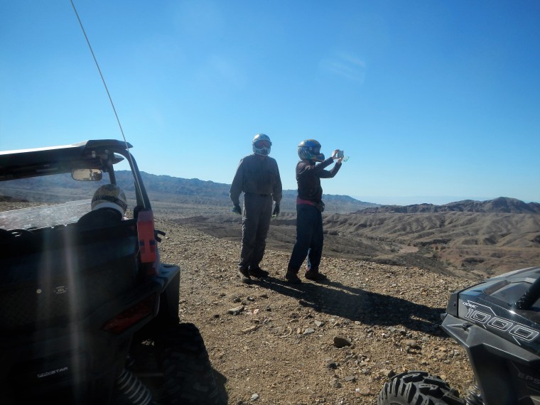
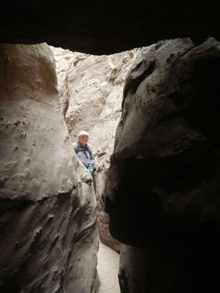
San Andreas Fault and Bat Caves
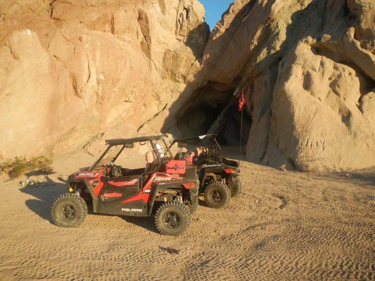
One of many faults, fractures and cave entrances.
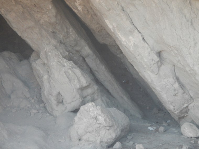
Scary pair of eyes peer out from one of the bat caves…….. As we cautiously approached the cave, it turned out to be a beer can reflecting light. Had us going for a bit.
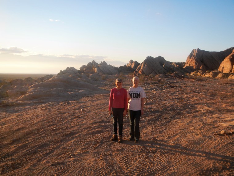
Sandi and Denise at the bat caves and San Andreas fault
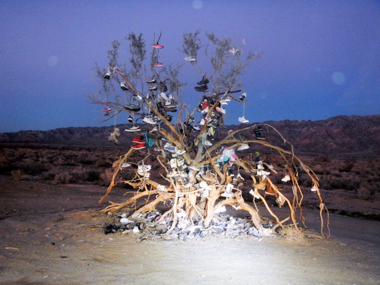
Shoe tree in the middle of the desert
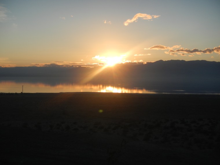
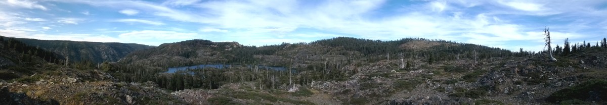
Sunset over the Salton Sea.
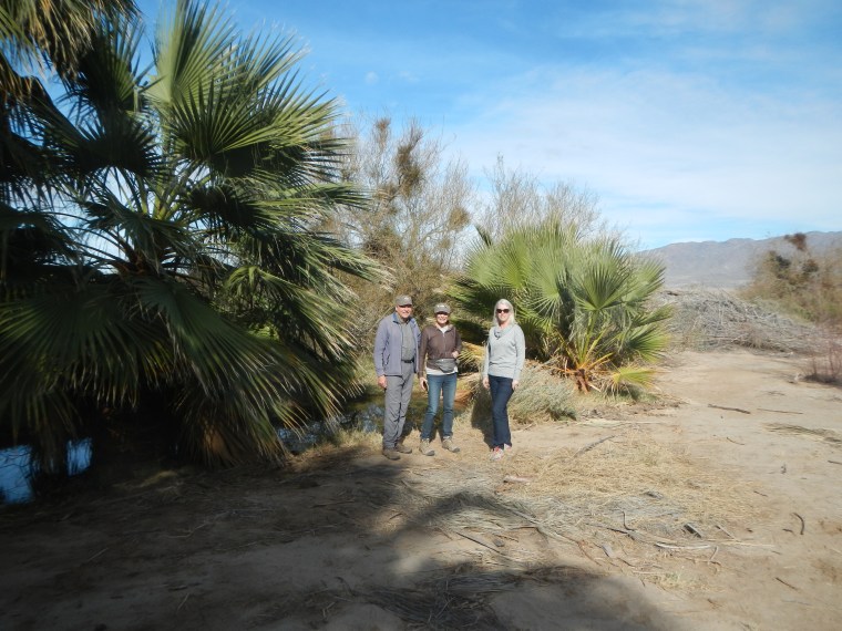
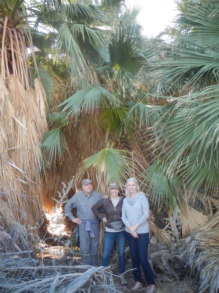
Oasis in the Desert
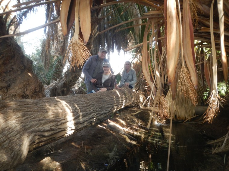
Water flows from an artesian well under this fallen tree.
Abandoned Eagle MTN railroad trestle and Red Canyon
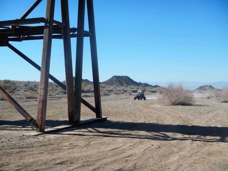
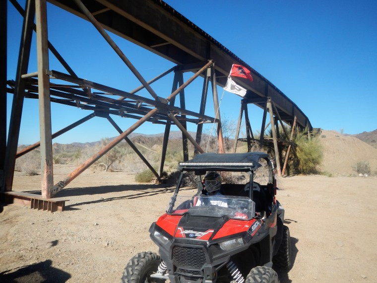

This railroad trestle was featured in the movie, the Proessionals (1966) featuring Lee Marvin, Burt Lancaster and Claudia Cardinale
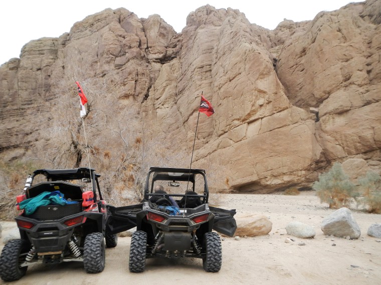
Sandi and Doug at end of the road in red canyon


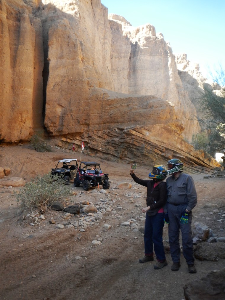
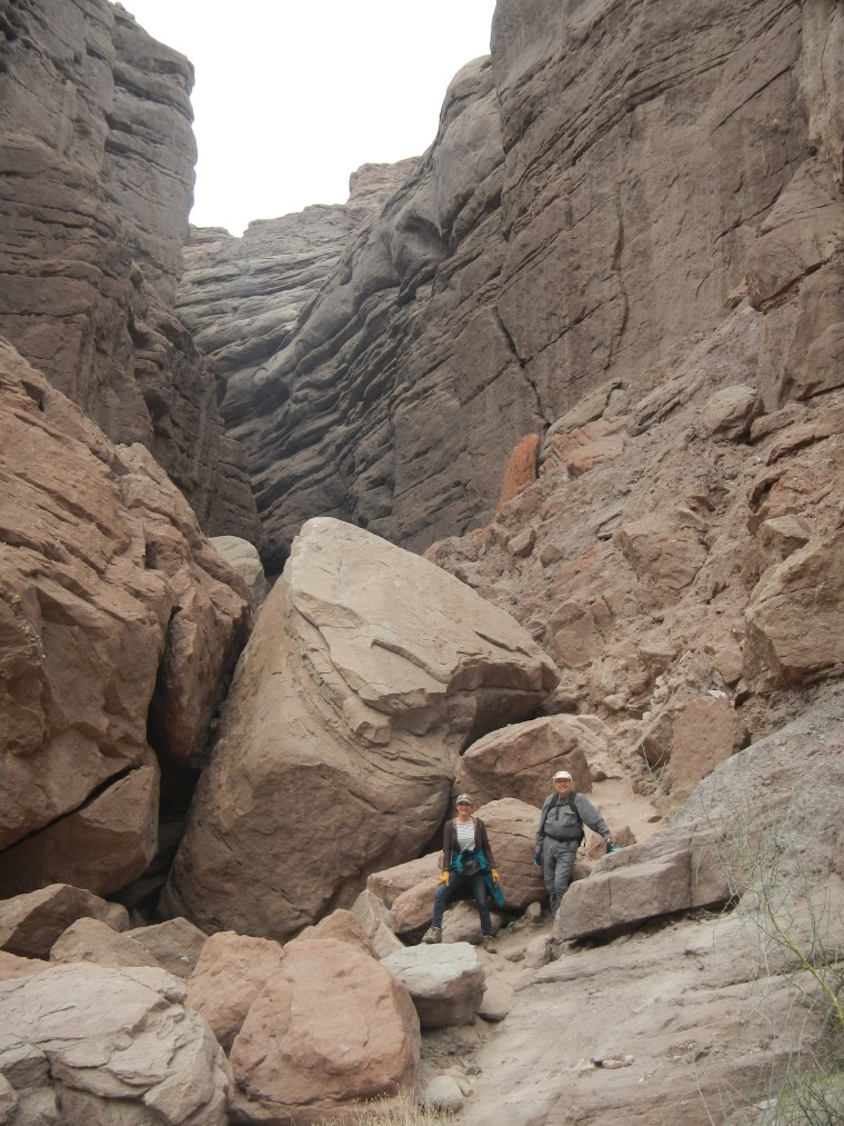
Pinnacle Canyon
We hiked to the top of the canyon to over look the area.
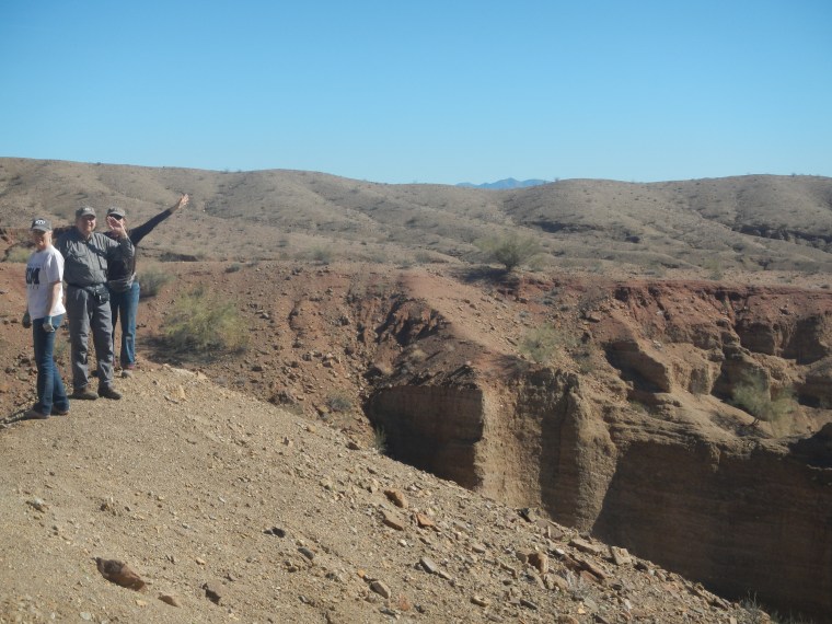
Red Canyon Jeep Trail to Chiriaco Summit
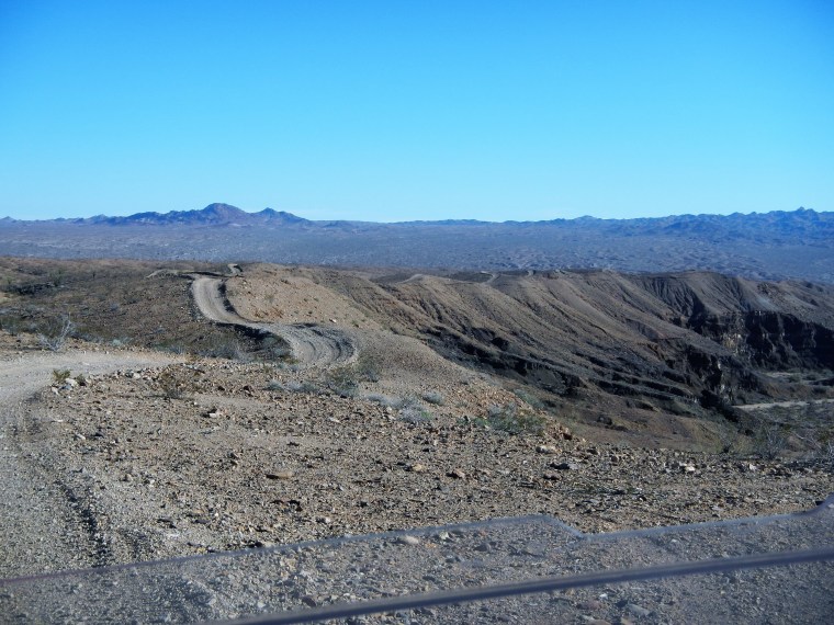
The Red Canyon Jeep Trail continues on top of the canyon continues off as far as this ridge goes. The George Patton Museum is also at Chiriaco Summit which is where the headquarters for his Desert command training center was located.
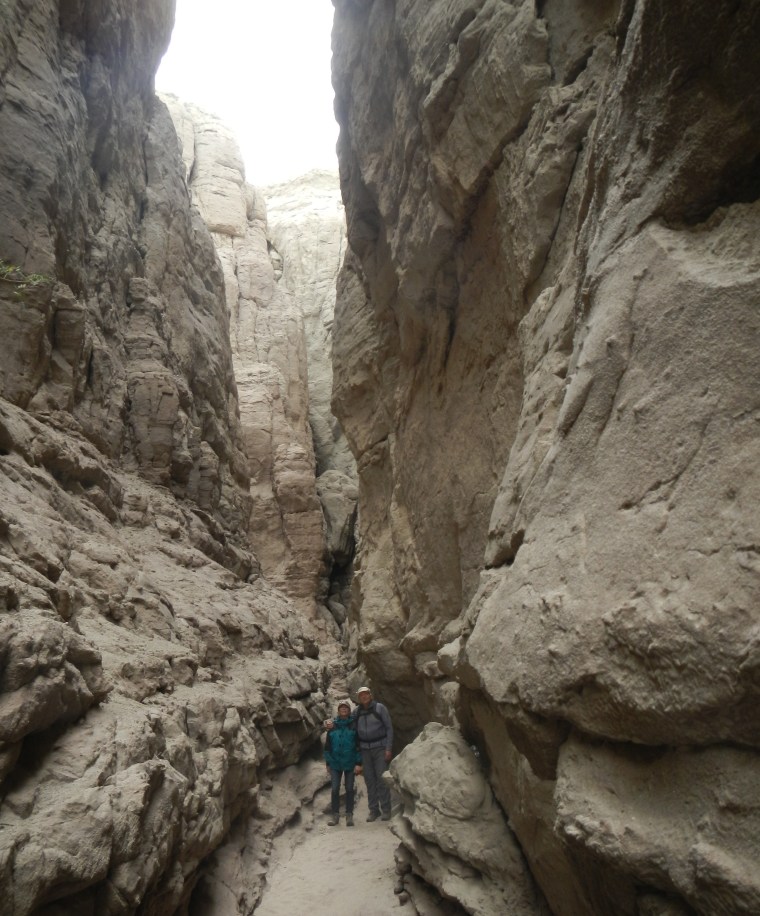
Painted Canyon/Ladder Canyon
Parking lot to the entrance of painted canyon.
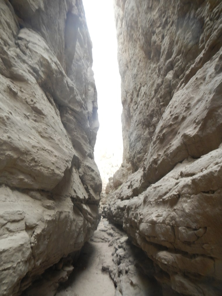
First Left Canyon is called Ropes Slot Canyon, it is very narrow. There are three dry water falls that have Ropes to help climb with 2 others that requiring free climbing.
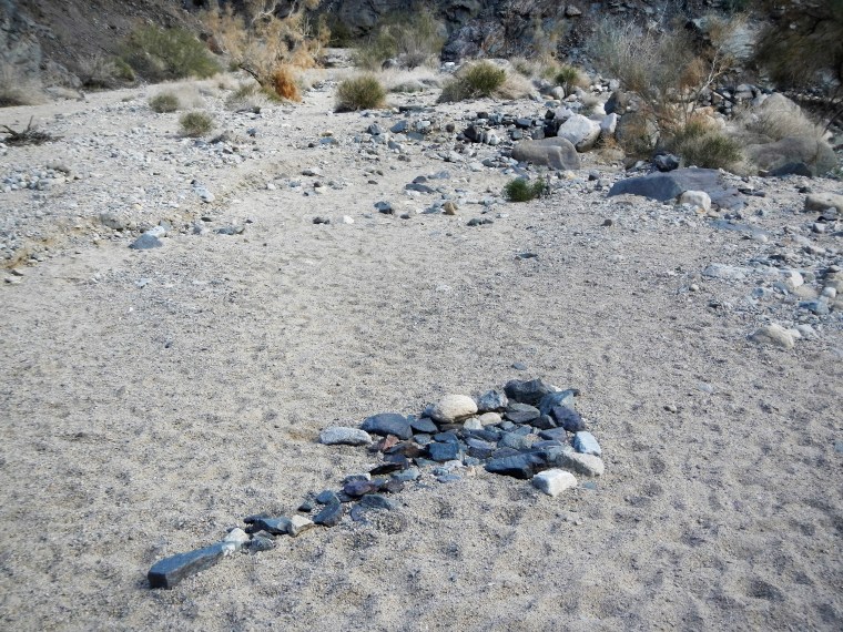
This the entrance to the “Ladders Slot Canyon”. It is not very obvious but there are clearly marked rock arrow, one points to the ladders canyon trail and the other points up the main painted canyon.
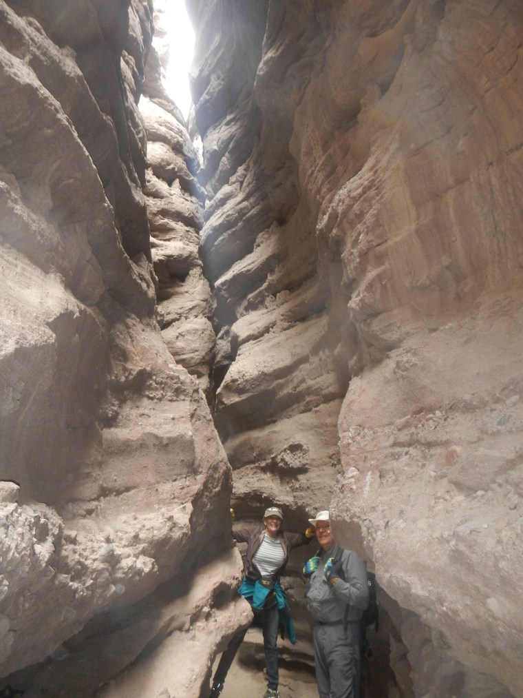
Doug and Sandi in Ladder Canyon. There are numerous dry water falls that have Aluminum and wooden Ladders to assist the hiker.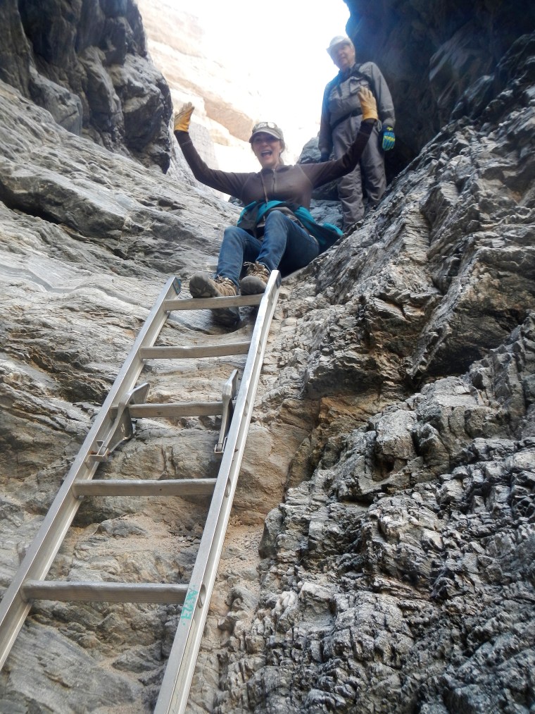
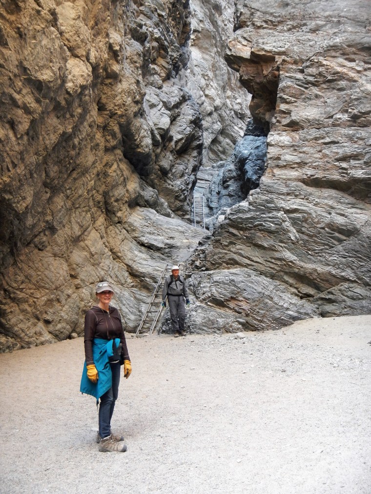
There are ladders in the main canyon. The Ladder slot canyon was much narrower. You can see the various colors of “Painted Canyon”. The total hike was about 6 miles, I think going up ladder canyon, coming out on top and then coming back DOWN the painted canyon seemed the best.

![]()
This is a screen capture from Google Earth and you can see the ARROW directing you the way down off the canyon cliff ledge
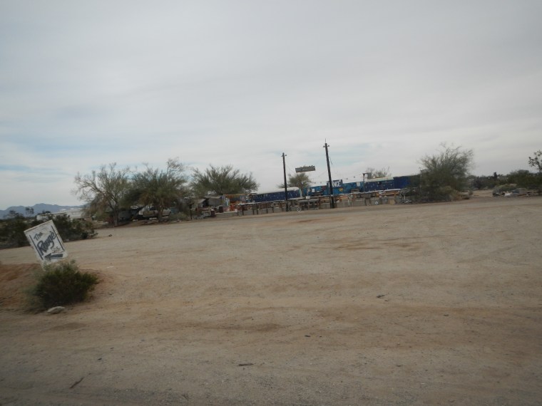
Salvation Mountain and Slab City
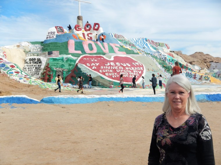
Salvation Mountain was created by one man, Leonard Knight in Niland California. Made from adobe, straw and branches and paint. Salvation Mountain
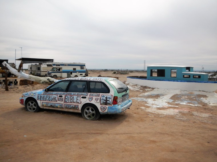

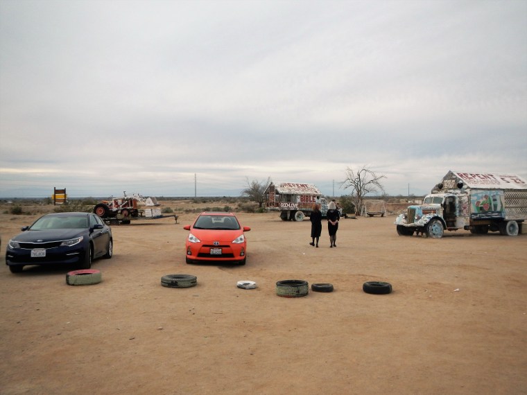
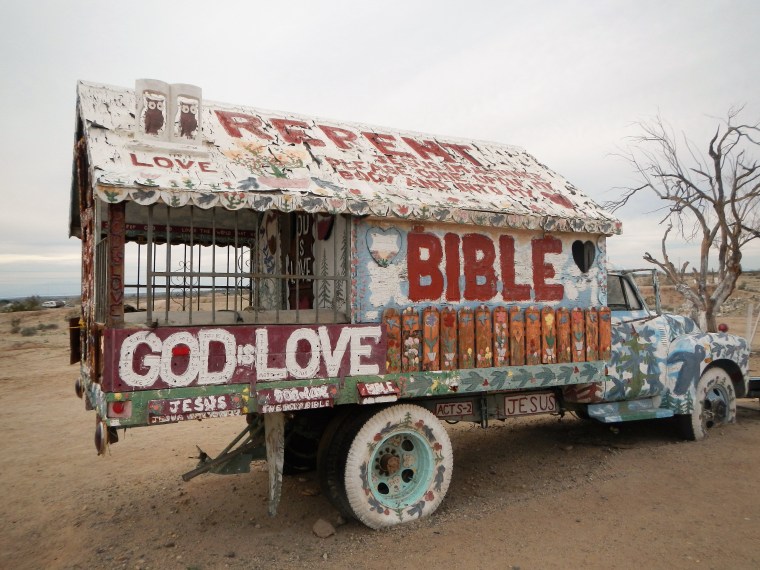
Slab City is right next to salvation mountain. It is an interesting community.
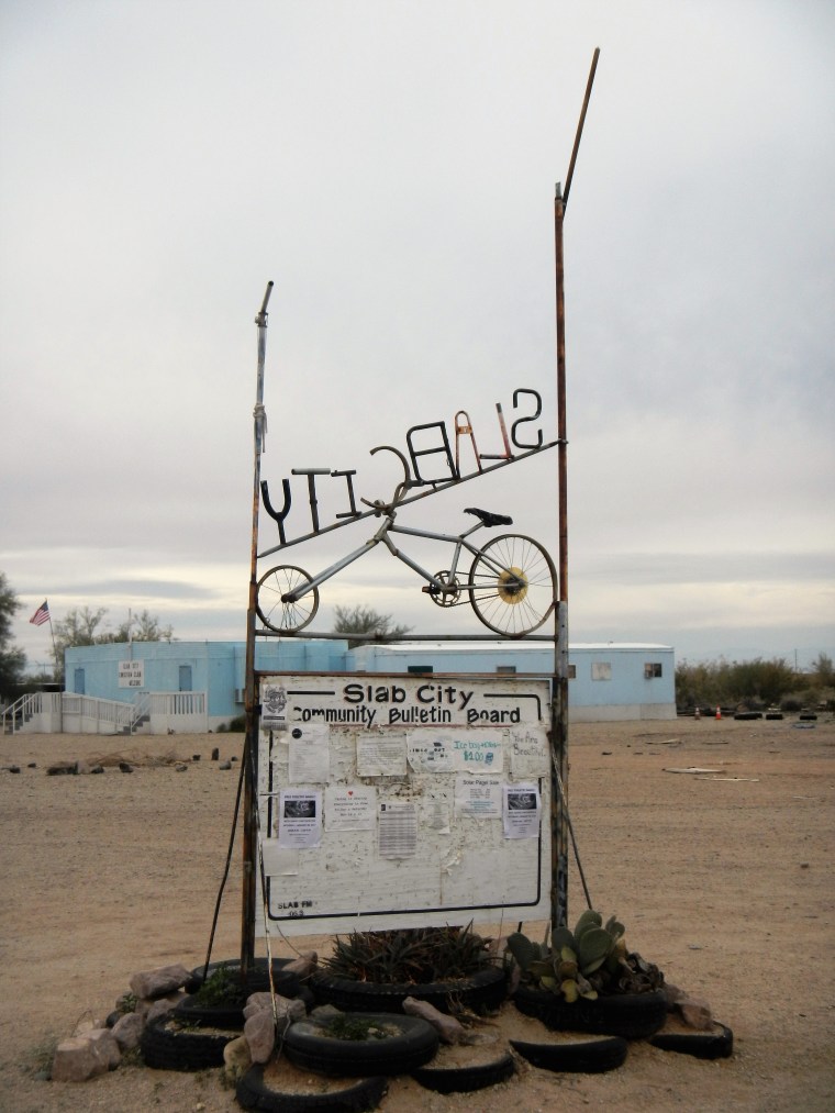
Community Bulletin Board, unfortunately from the back side.

Hi, i came across your page and saw these pictures and the trail/stops you’ve made. We are going to do the same soon and I’m wondering if you have some type of file showing GPS coodinates of these stops. (bat caves, oasis, etc etc). I see the map graphic on this page but I’m hoping for more detail so we don’t get lost lol
LikeLike
I emailed you the gps info from gpx files i made during my explorations.
LikeLike
MrTurboDoc,
We are heading there next week. Could you please email me the gpx files. It looks like you guys had a great time and would love to visit same places.
LikeLike
Hello,
thank you for the info. May I get a copy of the gpx file? We are heading there in a couple of weeks.
LikeLike
Ok
LikeLike
Send me your email address
LikeLike
Awesome photos. We are leaving tomorrow and would love to show the kids these. Can you please share the files with me? Tracemelton@yahoo.com
LikeLike