Lyra and Brian
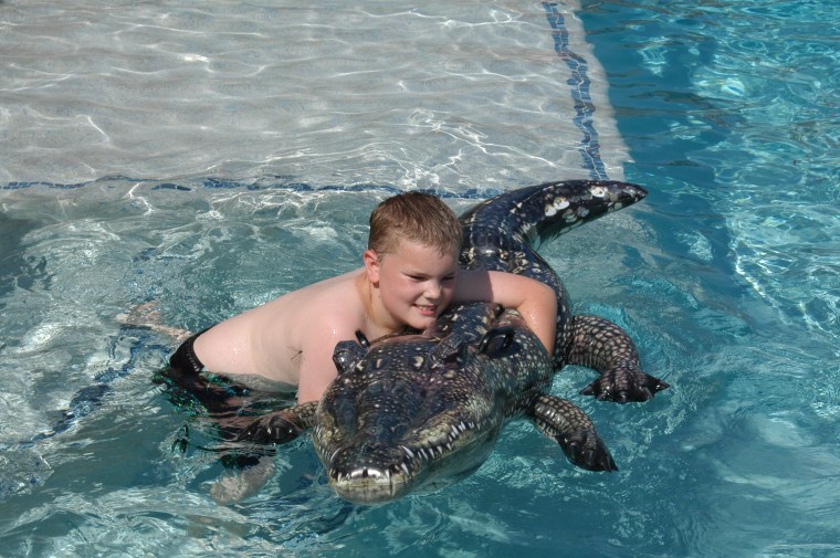
Ethan wrestles an Aligator
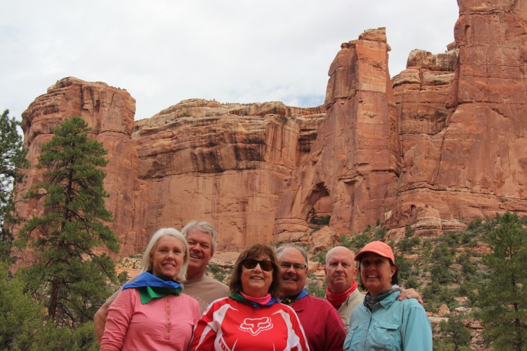
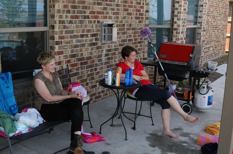
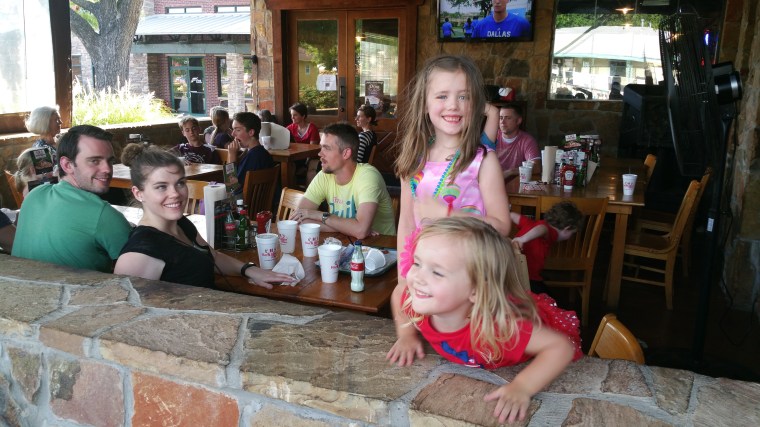
Hillary, Brian, Lyra, Denise, Ashton
Vivi, Hillary, Ben, Diana, Heidi
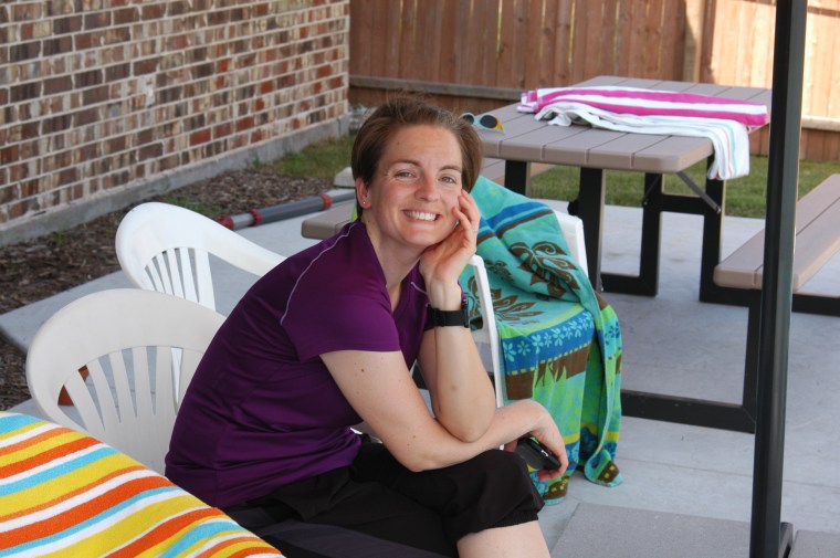
Alissa

Vivi
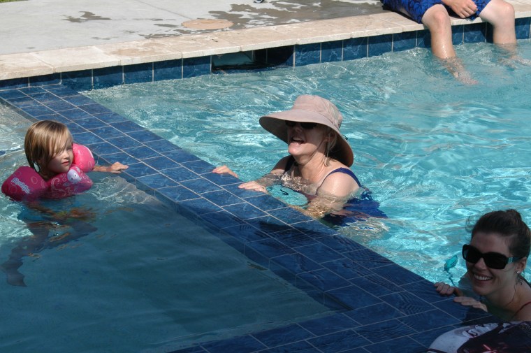
Heidi, Denise, Diana
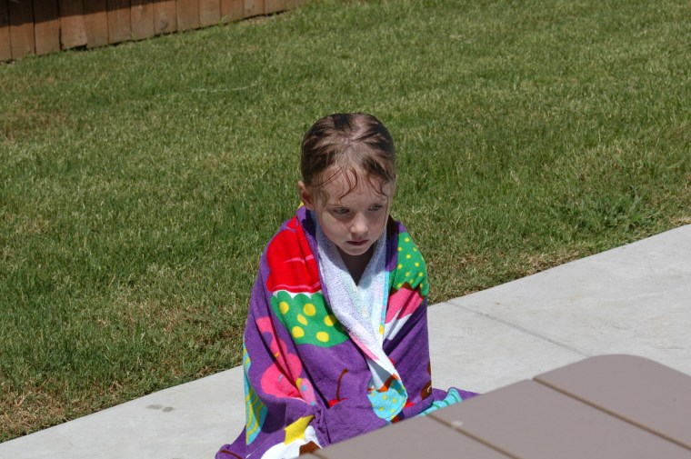
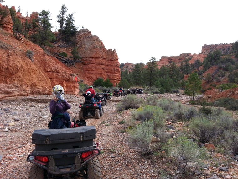
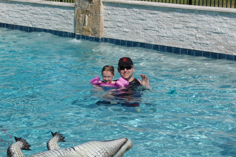
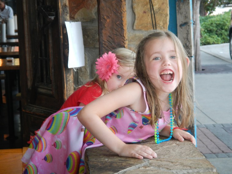
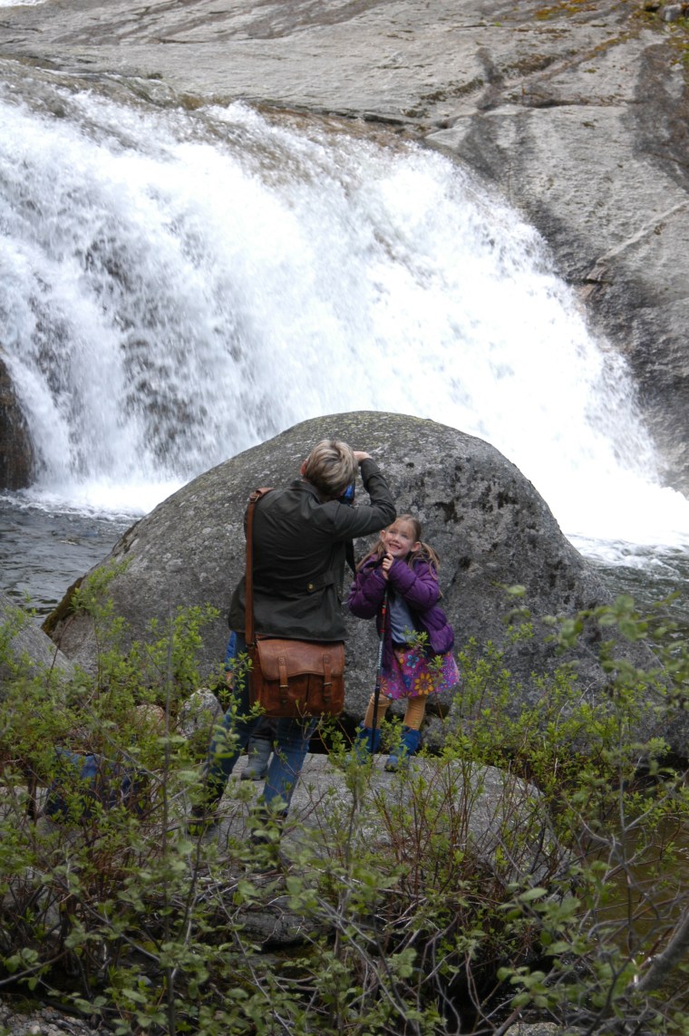
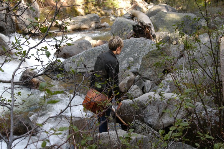
Lyra
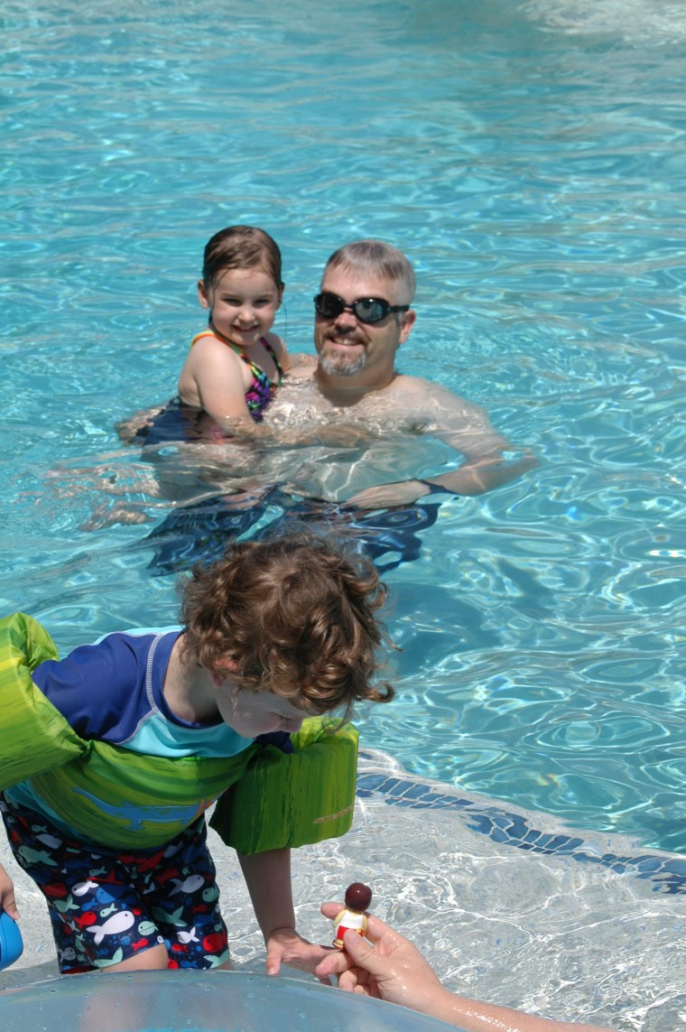
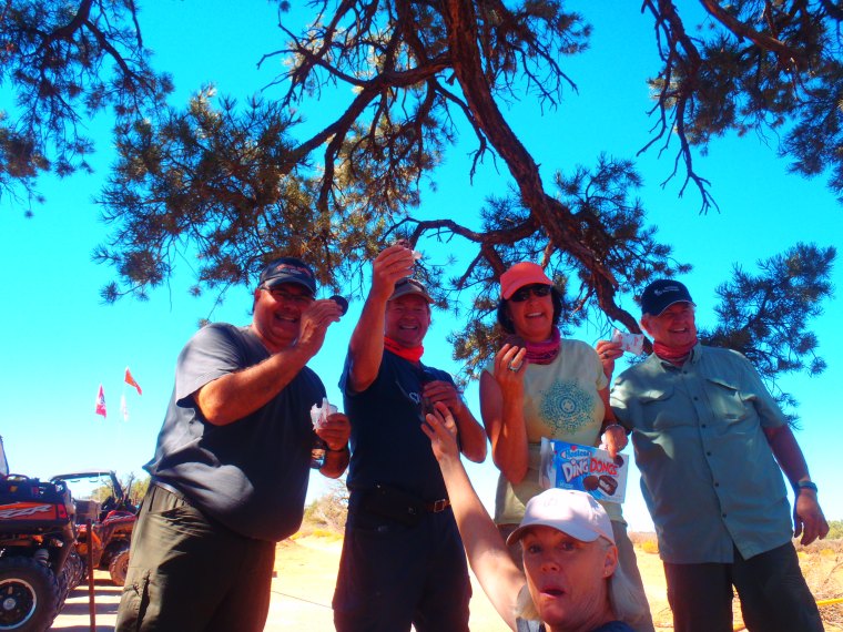
Will, Vivi, Jeff
Shannon and Alissa
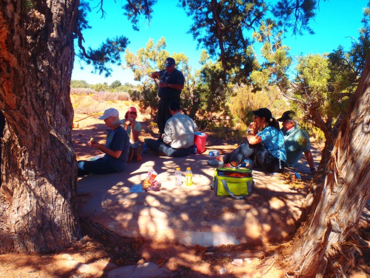
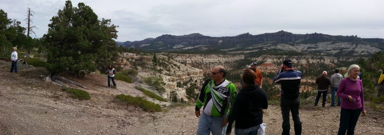
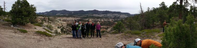
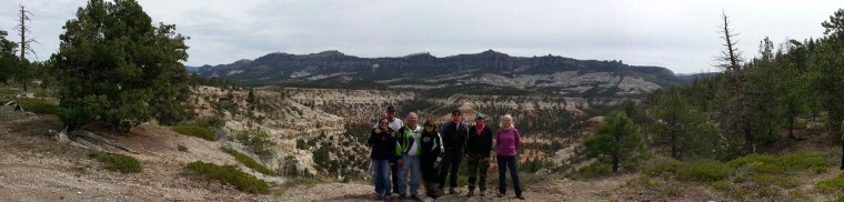
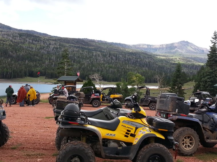
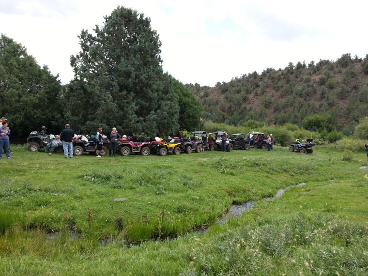
The Gang

Isla on the Wave Runner
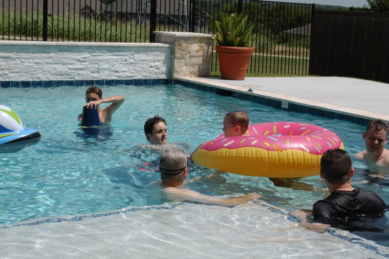
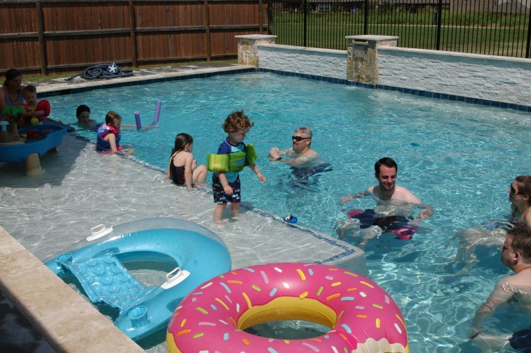
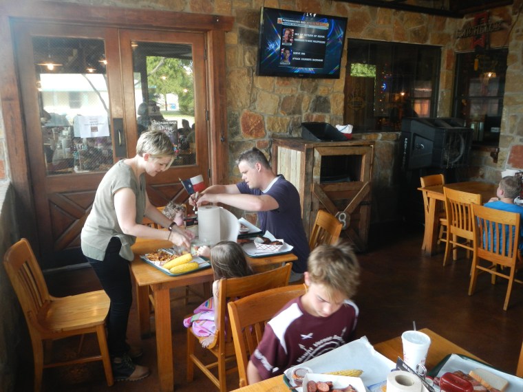
Ashton, Xander, Jeff, Ethan, Brian, Justin
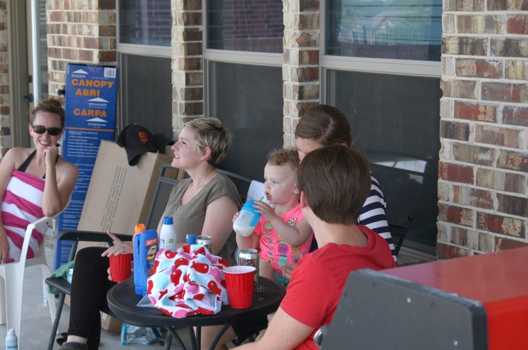
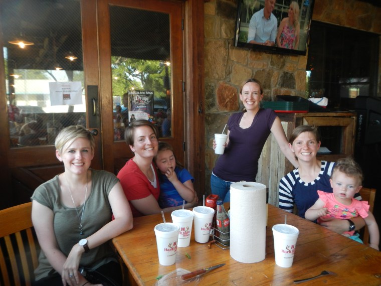
Hillary, Shannon, Athena, Abbi and Alissa
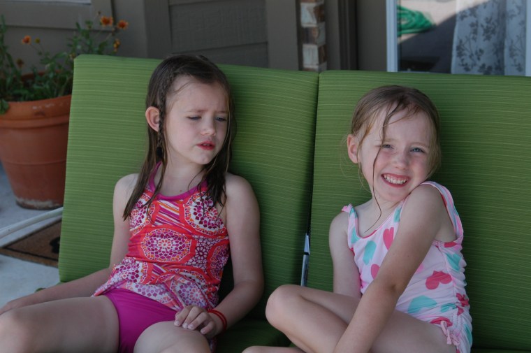
Isla and Lyra, just chillin
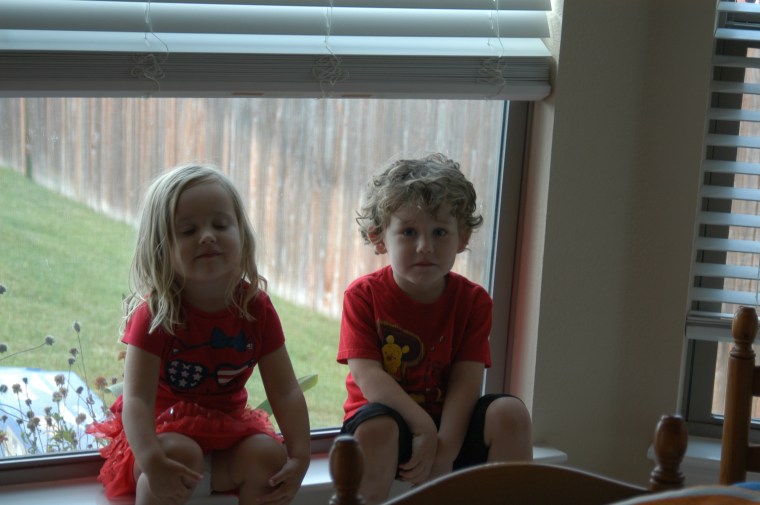
Heidi and Will
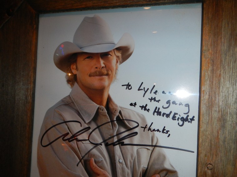
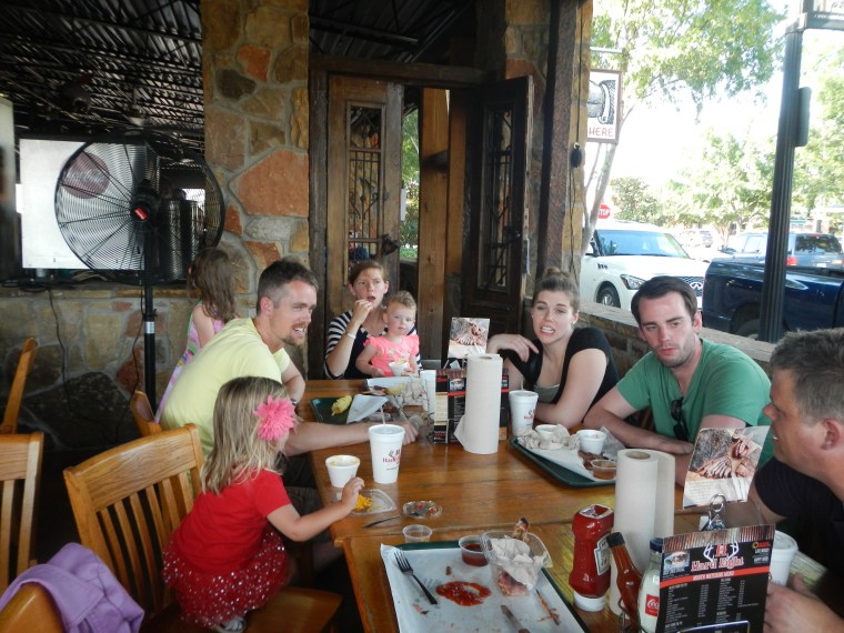
After swimming ALL day it was off to HARD EIGHT BBQ. Alan Jackson was there to welcome us personally.
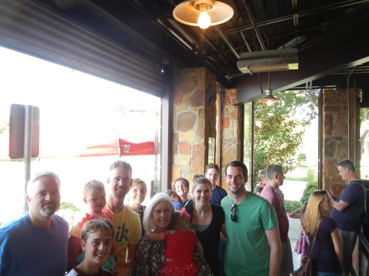
Waiting in line.
Shannon, Justin, Isla and Ashton

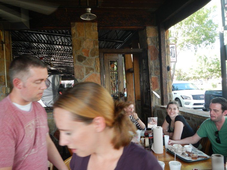
Xander, Brian, Ethan, Jeff, Heidi, Sean, Vivi, Alissa, Athena and Abbi
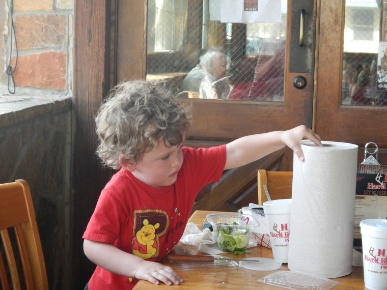
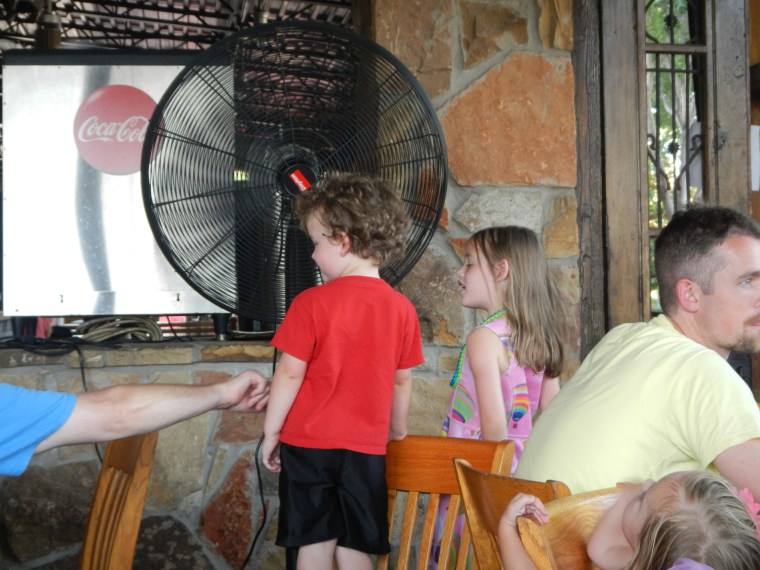
Will in clean-up mode
Brian, Hillary, Abbi, Diana (pose mode) and Ben
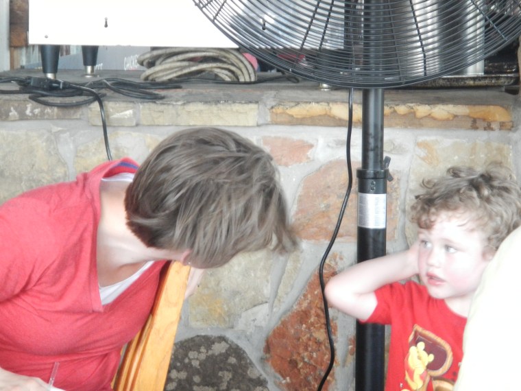
Alissa and Will enjoying the Fan

Heidi and Isla
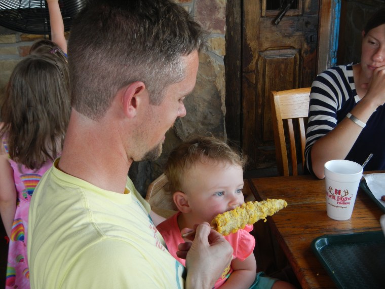
Athena and Will.
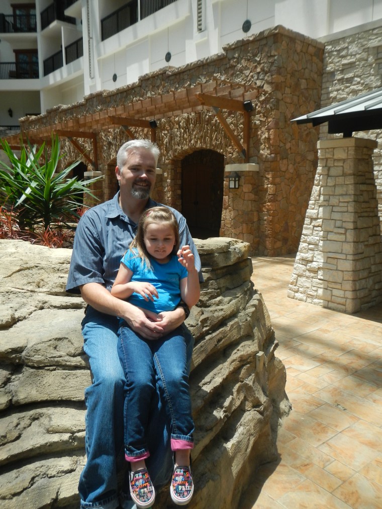
Sunday at the Gaylord Hotel
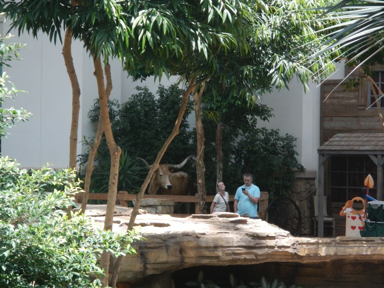
Brian checking the Cattle Futures, with Hillary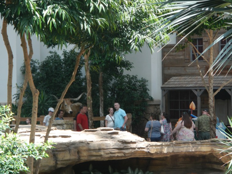
Jeff and Vivi
Shannon took a number of Gorgeous Photos of various groupings of the extended family.
You can see them at Milantominsk (password is turk)


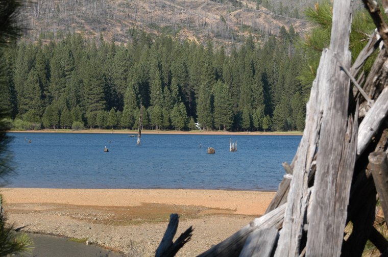
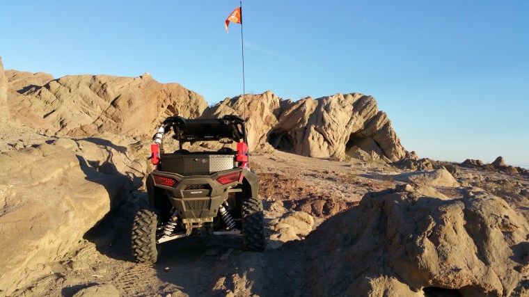
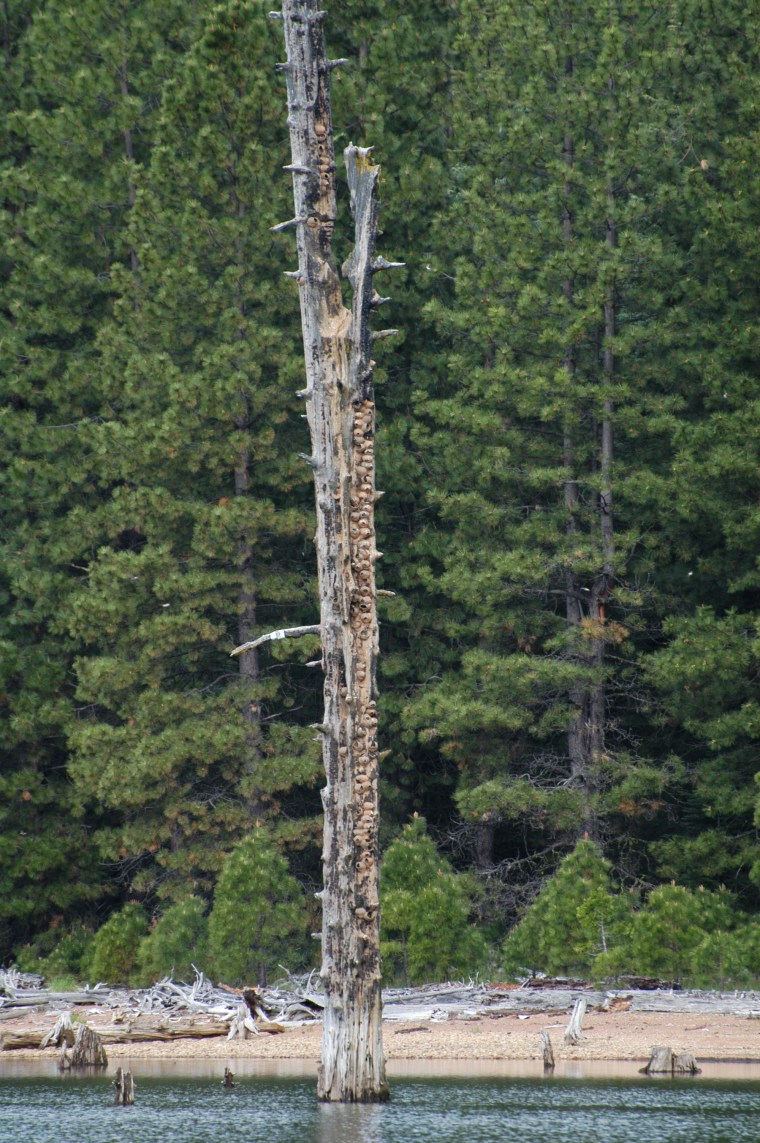 Swallows On Dead Tree in middle of Lake
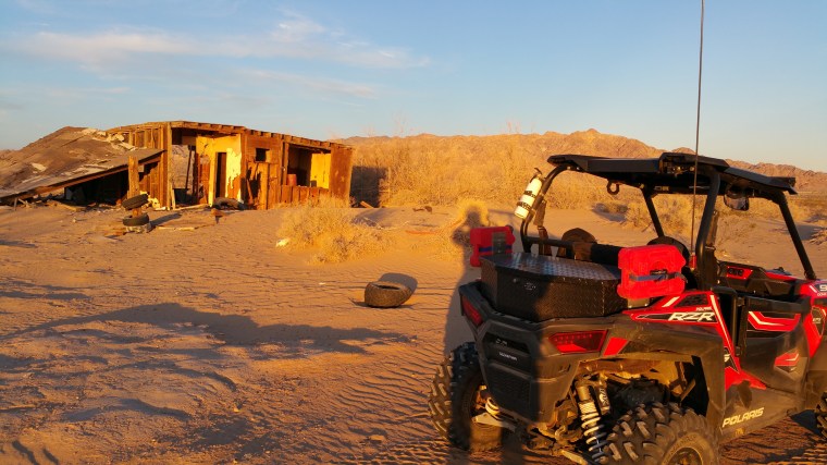
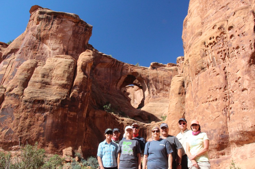
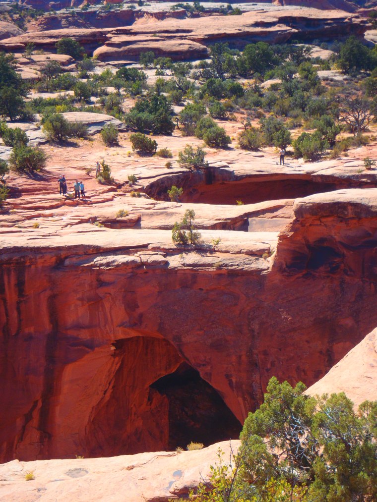
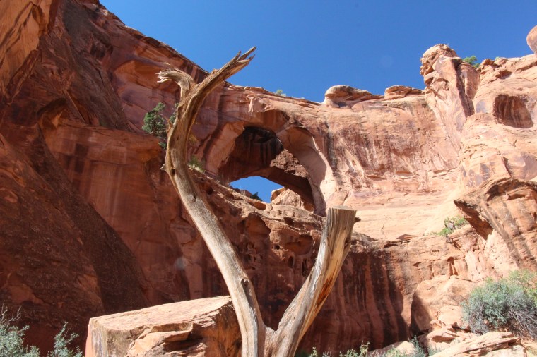
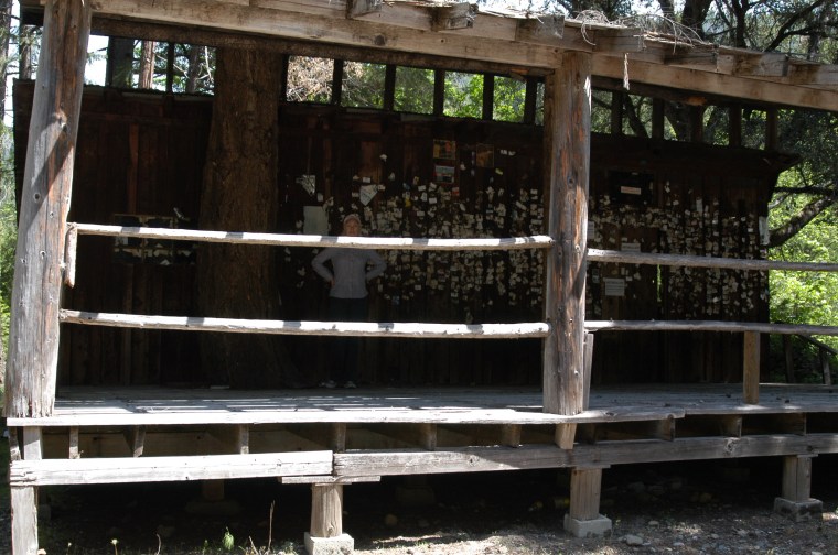
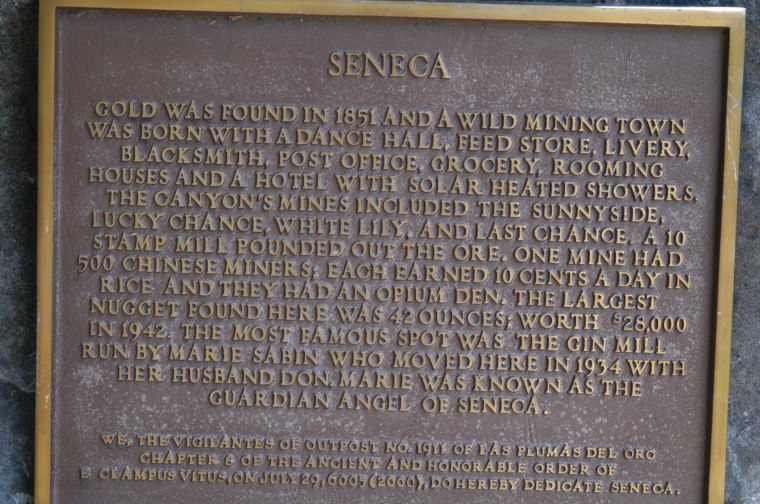
 Trip to Ghost Town, old mining town SENECA, started in 1851


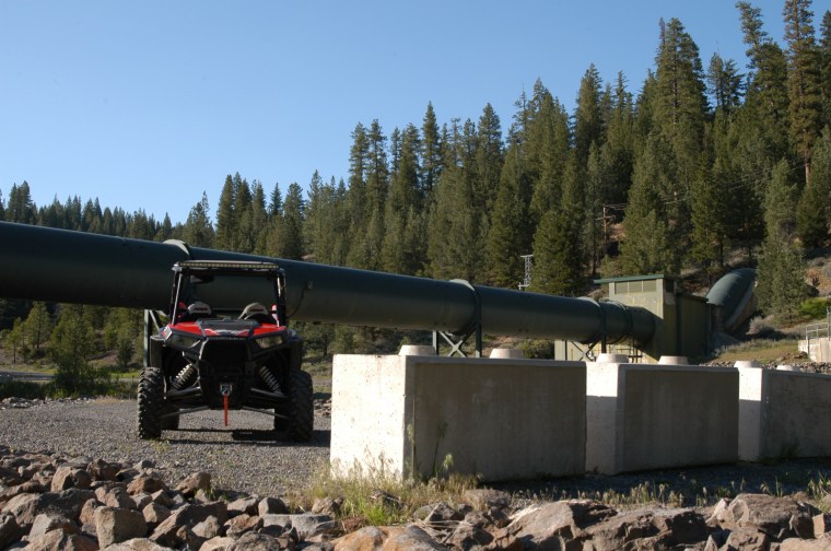


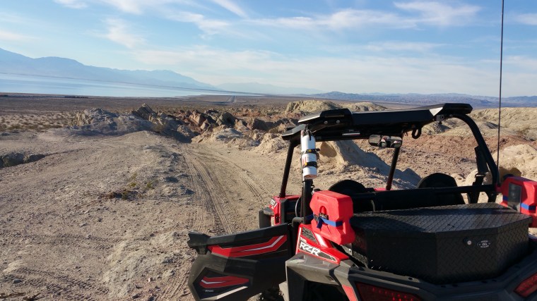
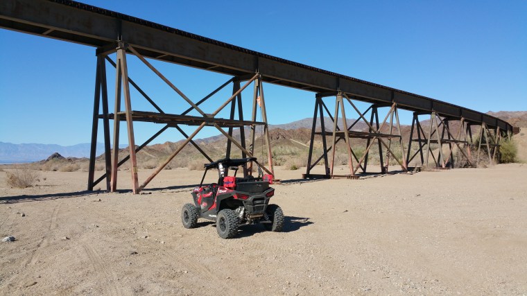
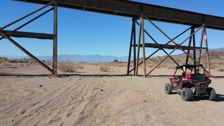
 The road goes along the Chocolate Mountain Naval Bombing Range.